Sheridan-Kalorama in Northwest Washington in Washington, District of Columbia — The American Northeast (Mid-Atlantic)
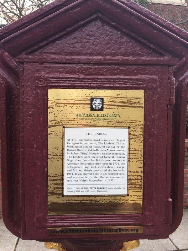
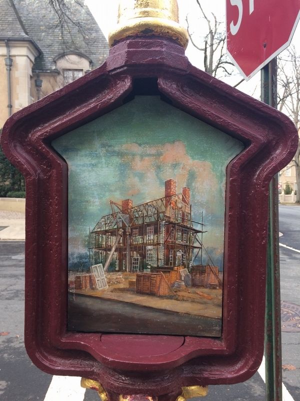
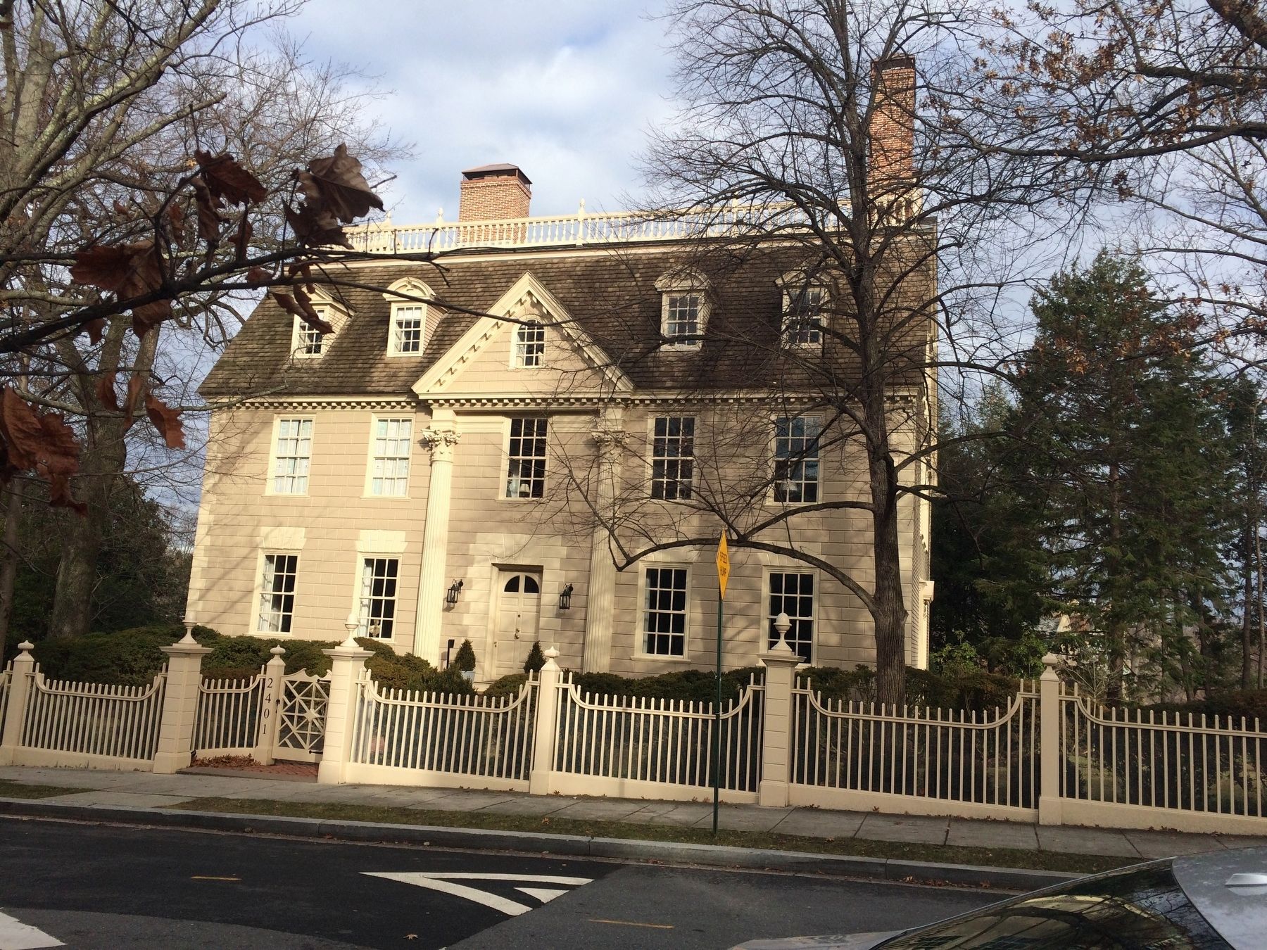
The Lindens
Sheridan Kalorama
— Call Box Restoration Project —
Erected by Cultural Tourism DC. (Marker Number 13.)
Topics and series. This historical marker is listed in these topic lists: Colonial Era • War, US Revolutionary. In addition, it is included in the DC, Art on Call series list. A significant historical year for this entry is 1754.
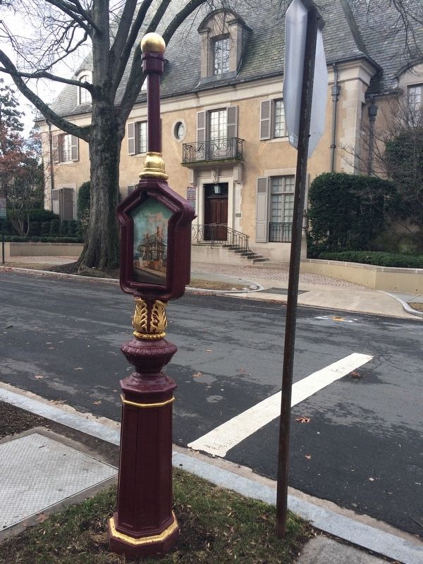
Location. 38° 55.075′ N, 77° 3.151′ W. Marker is in Northwest Washington in Washington, District of Columbia. It is in Sheridan-Kalorama. Marker is at the intersection of Kalorama Road Northwest and 24th Street Northwest, on the right when traveling east on Kalorama Road Northwest. Touch for map. Marker is at or near this postal address: 2340 Kalorama Road Northwest, Washington DC 20008, United States of America. Touch for directions.
Other nearby markers. At least 8 other markers are within walking distance of this marker. Chief Justices (about 600 feet away, measured in a direct line); Little Friar (about 600 feet away); The Presidents (about 600 feet away); Simón Bolívar (1783-1830) (approx. 0.2 miles away); Women of Influence (approx. 0.2 miles away); Educational Institutions (approx. ¼ mile away); Joel Barlow (approx. ¼ mile away); Diplomacy (approx. ¼ mile away). Touch for a list and map of all markers in Northwest Washington.
Credits. This page was last revised on January 30, 2023. It was originally submitted on January 13, 2018, by Devry Becker Jones of Washington, District of Columbia. This page has been viewed 222 times since then and 19 times this year. Photos: 1, 2, 3, 4. submitted on January 13, 2018, by Devry Becker Jones of Washington, District of Columbia. • Bill Pfingsten was the editor who published this page.


