Near Sundance in Crook County, Wyoming — The American West (Mountains)
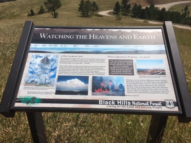
Watching the Heavens and Earth
A Fire Lookout's Job
The men and women who work in fire lookout towers locate nearly 80% of wildfires in their area. The job of the Forest Service Lookout involves observing the heavens and earth for the telltale signs of a forest fire - smoke.
The Lookout all so watches clouds closely, because the majority of fires are caused by lightning. Often the morning brings nonthreatening scattered cumulus clouds. By mid-afternoon, during the heat of the day, clouds build into massive thunderheads. As storms sweep across the hills, lightning may strike a tree and wind could fan the flames into a forest fire.
When Lightning is Popping - Lookout!
"I'll rest easier knowing you are up there," stated a local rancher to a Forest Service Lookout. Wildland forest fires on both private property and public lands are reported by Lookouts.
During a recent intense lightning storm, sixteen fires were ignited in one afternoon and reported by the Warren Peak Lookout. When smoke is spotted, the Lookout determines the general location with an instrument called the Osborne Fire Finder. The Lookout then radios the Forest Service office in Sundance, Wyoming where fire fighters are immediately dispatched to the fire.
Picture's captions Nonthreatening scattered cumulus clouds can be seen over the Warren Peak Fire Tower.
Thunderheads build over the Black hills. These clouds are a source of lightning.
Stoney Point Fire
Weehindle Fire burned 1,862 acres in 2000. Turn to the west to see this view.
Erected by Black Hills National Forest.
Topics. This historical marker is listed in these topic lists: Environment • Horticulture & Forestry. A significant historical year for this entry is 2000.
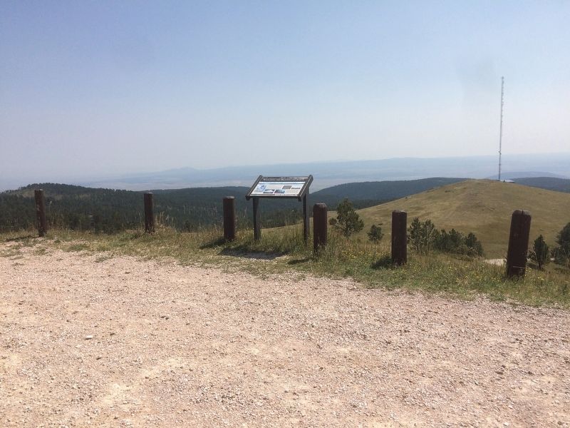
Location. 44° 28.558′ N, 104° 26.617′ W. Marker is near Sundance, Wyoming, in Crook County. Marker is on Warren Peak Rd. This marker is located at the base of the Warren Peak lookout tower. Touch for map. Marker is at or near this postal address: 712 Warren Peak Rd, Sundance WY 82729, United States of America. Touch for directions.
Other nearby markers. At least 7 other markers are within 15 miles of this marker, measured as the crow flies. The "Sundance Kid" (approx. 5.9 miles away); Sundance Nature Area (approx. 6.1 miles away); Custer Expedition (approx. 6.7 miles away); Black Hills (approx. 6.7 miles away); Crook County (approx. 6.7 miles away); Custer's 1874 Expedition (approx. 13.2 miles away); Inyan Kara (approx. 15.1 miles away).
Also see . . . Black Hills National Forest. US Forest Service website entry (Submitted on January 21, 2018, by Ruth VanSteenwyk of Aberdeen, South Dakota.)
Credits. This page was last revised on June 14, 2022. It was originally submitted on January 21, 2018, by Ruth VanSteenwyk of Aberdeen, South Dakota. This page has been viewed 245 times since then and 18 times this year. Photos: 1, 2. submitted on January 21, 2018, by Ruth VanSteenwyk of Aberdeen, South Dakota. • Andrew Ruppenstein was the editor who published this page.

