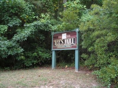
Lee Hall in Newport News, Virginia — The American South (Mid-Atlantic)
Fortification Design
1862 Peninsula Campaign
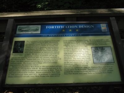
Mahan graduated from West Point in 1824 and studied military engineering in Europe from 1826-30. He spent his last year at the French military school of engineers and artillery in Metz. There he read texts influenced by Vauban. Mahan returned to West Point in 1830 and taught there until 1871. As professor of engineering, Mahan instructed virtually every West Pointer who later served in the Confederate or Union armies. He wrote many articles and books during his 39-year tenure. His Triest on Field Fortifications was used extensively by Civil War engineers for constructing redoubts, bastion fortifications, redans and other earthworks.
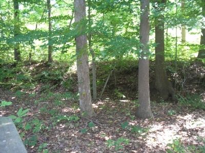
The fortifications at Lee’s Mill contained two types of earthworks detailed in Mahan’s book. The first was the breastwork with its chest-high parapet and interior ditch for protecting infantrymen. The second was the redoubt for mounting artillery pieces. This many sided fortification provided protection from enemy fire and slowed their advance. Confederate engineers Isaac St. John and Alfred Rives astutely situated the earthworks along the Warwick River and three redoubts above on the heights. Their fortification designs incorporated the natural landscape and delayed the Union advance from Fort Monroe and Camp Butler at Newport News Point.
Erected by Virginia Civil War Trails.
Topics. This historical marker is listed in these topic lists: Forts and Castles • War, US Civil. A significant historical year for this entry is 1824.
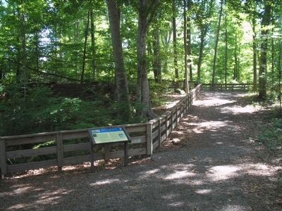
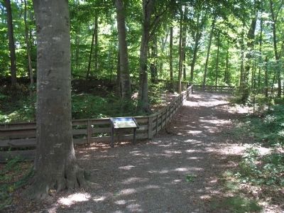
Location. 37° 9.866′ N, 76° 33.916′ W. Marker is in Newport News, Virginia. It is in Lee Hall. Marker can be reached from Rivers Ridge Circle, on the left when traveling west. Marker is located along the walking trail in Lee’s Mill Historic Park, off Warwick Blvd. Touch for map. Marker is in this post office area: Newport News VA 23608, United States of America. Touch for directions.
Other nearby markers. At least 8 other markers are within walking distance of this marker. The Warwick-Yorktown Line (within shouting distance of this marker); Lee’s Mill (within shouting distance of this marker); Battle of Lee’s Mill (within shouting distance of this marker); a different marker also named The Battle of Lee’s Mill (about 300 feet away, measured in a direct line); Union Occupation (about 300 feet away); The Warwick River (about 500 feet away); Lee’s Mill Earthworks (approx. 0.4 miles away); Air Cushion Vehicle, SK-5 (approx. half a mile away). Touch for a list and map of all markers in Newport News.
More about this marker. A picture of Fort Monroe, c.1861 appears on the top left of the marker, next to the marker title. Also on the marker are portraits of Marshal Sebastien le Prestre de Vauban, and Vauban’s fortress at Lille, France.
Related markers. Click here for a list of markers that are related to this marker. Markers along the walking trail in Lee’s Mill Historic Park.
Also see . . .
1. The Peninsula Campaign. (Submitted on September 10, 2008, by Bill Coughlin of Woodland Park, New Jersey.)
2. Tidewater Virginia, The 1862 Peninsula Campaign. Civil War Traveler. (Submitted on September 10, 2008, by Bill Coughlin of Woodland Park, New Jersey.)
Credits. This page was last revised on February 1, 2023. It was originally submitted on September 10, 2008, by Bill Coughlin of Woodland Park, New Jersey. This page has been viewed 2,310 times since then and 26 times this year. Photos: 1, 2, 3, 4, 5. submitted on September 10, 2008, by Bill Coughlin of Woodland Park, New Jersey.
