Arch Cape in Clatsop County, Oregon — The American West (Northwest)
Cannon Beach
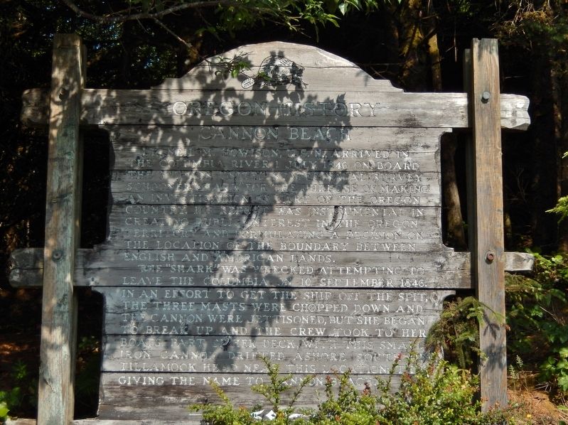
Lt. Neil M. Howison, U.S.N., arrived in the Columbia River 1 July, 1846 on board the 300-ton United States Naval Survey Schooner "Shark" for the purpose of making an investigation of part of the Oregon Country. His report was instrumental in creating public interest in the Oregon Territory and formulating a decision on the location of the boundary between English and American lands.
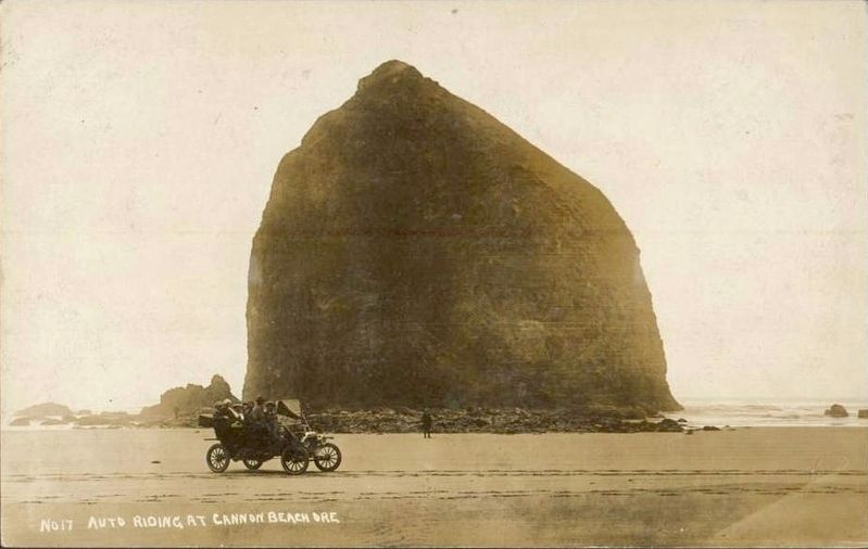
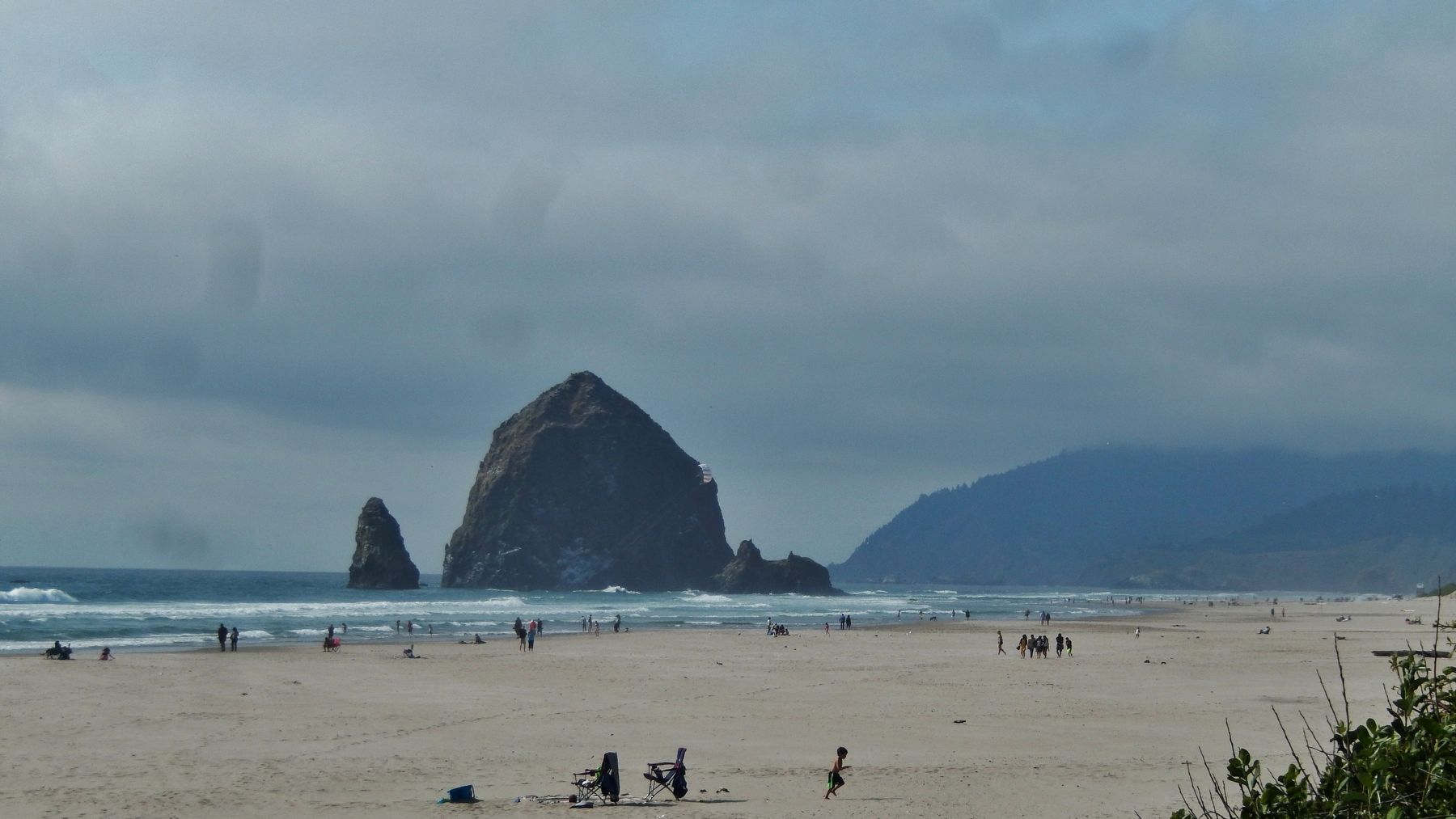
The "Shark" was wrecked attempting to leave the Columbia on 10 September 1846. In an effort to get the ship off the spit, the three masts were chopped down and the cannon were jettisoned, but she began to break up and the crew took to her boats. Part of her deck, with this small iron cannon, drifted ashore south of Tillamook Head near this location; thus giving the name to Cannon Beach.
Erected by Oregon Travel Experience.
Topics and series. This historical marker is listed in these topic lists: Notable Places • Settlements & Settlers • Waterways & Vessels. In addition, it is included in the Oregon Beaver Boards series list.
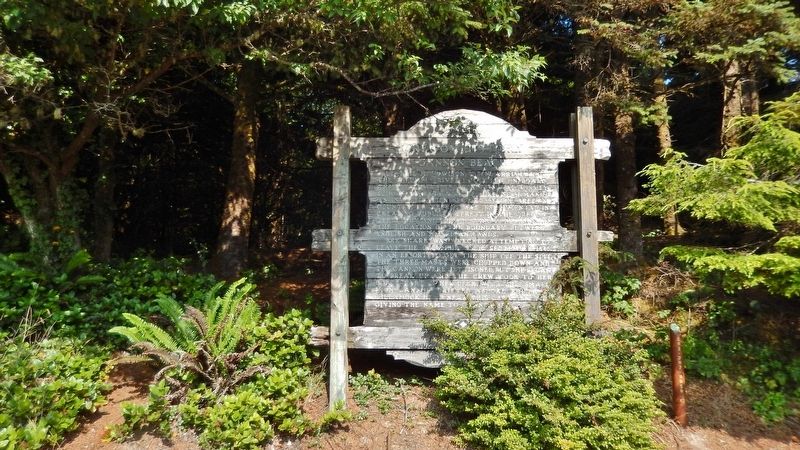
Location. 45° 49.221′ N, 123° 57.668′ W. Marker is in Arch Cape, Oregon, in Clatsop County. Marker is on Oregon Coast Highway (U.S. 101) north of Carnahan Road N, on the right when traveling north. Marker and Cannon are located in a pull-out on the east side of the highway, just north of the Arch Cape Fire Station. Touch for map. Marker is at or near this postal address: 72979 US Highway 101, Arch Cape OR 97102, United States of America. Touch for directions.
Other nearby markers. At least 8 other markers are within 6 miles of this marker, measured as the crow flies. Arch Cape Carronade (within shouting distance of this marker); Cannons on the Beach (within shouting distance of this marker); In Harmony with Nature (approx. 5.2 miles away); Roosevelt Elk (approx. 5.2 miles away); Oswald West (approx. 5.2 miles away); Neahkahnie Mountain (approx. 5.2 miles away); a different marker also named Oswald West (approx. 5.2 miles away); Safety and Beauty (approx. 5.3 miles away). Touch for a list and map of all markers in Arch Cape.
More about this marker. This is an Oregon History “Beaver Board” marker. It is significantly weathered and somewhat difficult to read.
Also see . . .
1. The Cannon of Cannon Beach. Cannon Beach History Center & Museum website entry (Submitted on January 16, 2023, by Larry Gertner of New York, New York.)
2. USS Shark (1821). Wikipedia entry:
The Shark reached the coast of Oregon on 15 July 1846, and crossed the bar off the mouth of the Columbia River for explorations in the lower Columbia River. After several weeks the vessel returned to the mouth of the river on 8 September; and, knowing that the bar had changed position since the last survey was made, spent the following day making new observations of the bar and other preparations for crossing. However, her effort to recross the bar ended in disaster on 10 September, for she struck an uncharted shoal and was swept into the breakers by a swift tide. The ship was a total loss. A court of inquiry absolved Lt. Neil M. Howison of all blame for the loss of his ship. (Submitted on January 25, 2018, by Cosmos Mariner of Cape Canaveral, Florida.)
3. Cannons on the Beach. Oregon Travel Experience website entry (Submitted on January 30, 2018, by Douglass Halvorsen of Klamath Falls, Oregon.)
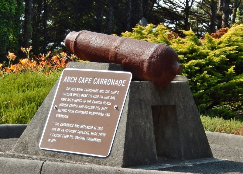
Photographed By Cosmos Mariner, July 8, 2015
3. Arch Cape Carronade (near the marker)
The 1821 Naval carronade and the ship’s capstan which were located on this site have been moved to the Cannon Beach History Center and Museum for safe keeping from continued weathering and vandalism.
The carronade was replaced at this site by an accurate duplicate made from a casting from the original carronade in 1991.
The carronade was replaced at this site by an accurate duplicate made from a casting from the original carronade in 1991.
Credits. This page was last revised on January 16, 2023. It was originally submitted on January 25, 2018, by Cosmos Mariner of Cape Canaveral, Florida. This page has been viewed 295 times since then and 35 times this year. Last updated on January 30, 2018, by Douglass Halvorsen of Klamath Falls, Oregon. Photos: 1, 2, 3. submitted on January 25, 2018, by Cosmos Mariner of Cape Canaveral, Florida. 4. submitted on January 27, 2018. 5. submitted on January 25, 2018, by Cosmos Mariner of Cape Canaveral, Florida. • Andrew Ruppenstein was the editor who published this page.
