Near St. Paul in Marion County, Oregon — The American West (Northwest)
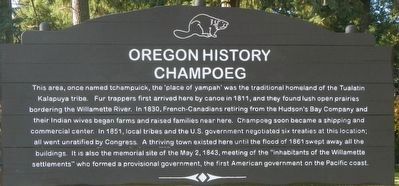
Champoeg
Erected by Oregon State Parks.
Topics and series. This historical marker is listed in these topic lists: Native Americans • Settlements & Settlers. In addition, it is included in the Oregon Beaver Boards series list. A significant historical date for this entry is May 2, 1843.
Location. 45° 15.337′ N, 122° 54.237′ W. Marker is near St. Paul, Oregon, in Marion County. Marker can be reached from Champoeg Road NorthEast near French Prairie Road NorthEast . Touch for map. Marker is at or near this postal address: 8089 Champoeg Road NorthEast, Saint Paul OR 97137, United States of America. Touch for directions.
Other nearby markers. At least 8 other markers are within 7 miles of this marker, measured as the crow flies. Hoover - Minthorn House (approx. 4.4 miles away); Boone's Ferry (approx. 6.4 miles away); Grove of the States (approx. 6.4 miles away); Boone’s Landing (approx. 6.8 miles away); Tauchman House (approx. 6.8 miles away); Site of Bill Flynn’s Saloon (approx. 6.8 miles away); Norris Young Machine Shop (approx. 7 miles away); Drug Store and Lodge Hall (approx. 7 miles away).
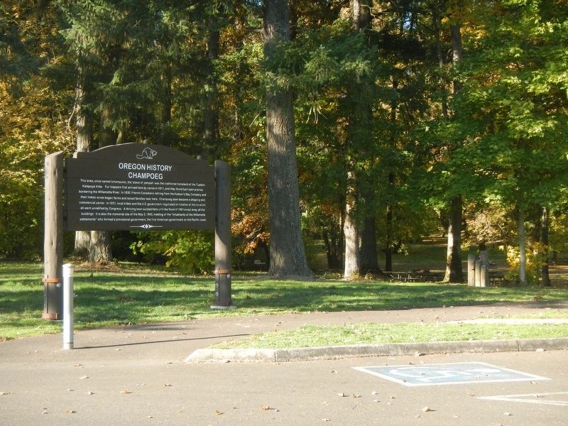
More about this marker. This marker is located in the northwest corner of Champoeg State Park.
Also see . . .
1. Champoeg, Oregon. Champoeg is best known as the site of a series of meetings held in the town during the 1840s.... They ... considered measures to deal with problem of wolves menacing their settlements. It was to be the first in a series of "Wolf Meetings" at the town site that would establish the basis of civil codes. (Submitted on February 23, 2018, by Barry Swackhamer of Brentwood, California.)
2. Oregon Travel Experience - Audio Tour Stop. The official 'Beaver Board' website for Oregon State Historical Markers (Submitted on February 23, 2018, by Douglass Halvorsen of Klamath Falls, Oregon.)
Credits. This page was last revised on April 18, 2018. It was originally submitted on February 23, 2018, by Barry Swackhamer of Brentwood, California. This page has been viewed 294 times since then and 53 times this year. Photos: 1, 2. submitted on February 23, 2018, by Barry Swackhamer of Brentwood, California.

