Cumberland Township near Gettysburg in Adams County, Pennsylvania — The American Northeast (Mid-Atlantic)
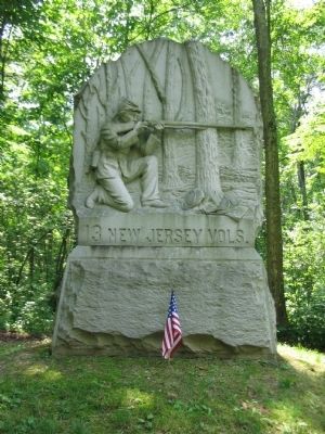
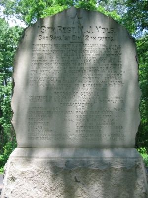
13th New Jersey Volunteers
3rd Brig. 1st Div. 12th Corps.
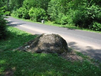
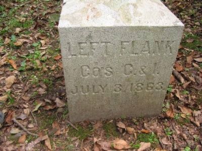
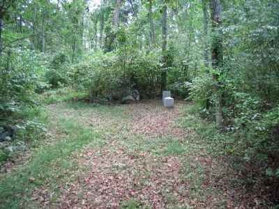
Thirteenth Regiment N.J.V. reached this battlefield 5 p.m. July 1st 1863, and with the brigade went into position on the north side of Wolf Hill. During the night occupied a position in support of Battery M, First N.Y. Artillery. July 2, in morning held position near Culp's Hill. In afternoon marched to relief of Third Corps near Round Top. At night returned to right of the army. July 3, occupied position marked by this monument, supporting Second Massachusetts and Twenty-seventh Indiana in their charge on Confederate flank. In the evening moved to extreme right to support of Gregg's Cavalry.
Mustered in Aug. 25, 1862 - Discharged June 8, 1865.
Killed or died of wounds 2. Wounded 19.
Antietam 1862. - Nancy's Creek 1864.
Chancellorsville 1863. - Peach Tree Creek 1864.
Gettysburg 1863. - Siege of Atlanta 1864.
Resaca 1864 - March to the Sea 1864.
Cassville 1864 - Siege of Savannah 1864.
Dallas 1864 - Averysboro - 1865.
Kulp's Farm 1864 - Bentonville - 1865
Total losses during the war killed or died of wounds 75. Died of disease and in prisons 43. Wounded 244. Total 362.
Erected 1887 by State of New Jersey .
Topics. This memorial is listed in this topic list: War, US Civil. A significant historical date for this entry is August 25, 1862.
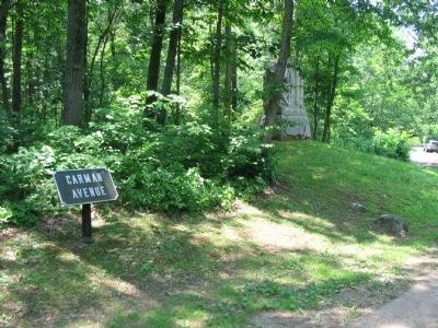
Location. 39° 48.778′ N, 77° 12.883′ W. Marker is near Gettysburg, Pennsylvania, in Adams County. It is in Cumberland Township. Memorial is on Carman Avenue (Colgrove Avenue), on the left when traveling north. Located in Gettysburg National Military Park. Touch for map. Marker is in this post office area: Gettysburg PA 17325, United States of America. Touch for directions.
Other nearby markers. At least 8 other markers are within walking distance of this marker. Third Brigade (within shouting distance of this marker); 3rd Wisconsin Volunteer Infantry (about 400 feet away, measured in a direct line); 27th Indiana Infantry (about 400 feet away); Second Massachusetts Infantry (about 500 feet away); a different marker also named 27th Indiana Infantry (about 600 feet away); Indiana (about 600 feet away); 107th New York Infantry (about 800 feet away); Myth, Memory, and Honor (approx. 0.2 miles away). Touch for a list and map of all markers in Gettysburg.
Also see . . . 13th New Jersey Monuments. Three monuments mark the regiment's actions at Antietam in 1862. (Submitted on September 13, 2008, by Craig Swain of Leesburg, Virginia.)
Photographed By Craig Swain, February 21, 2009
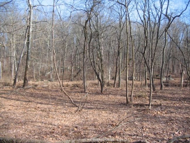
6. Rock Creek through McAllister's Woods
Looking into the valley formed by Rock Creek south of Culp's Hill. On returning to the position indicated by the monument, the 13th New Jersey deployed skirmishers into the low ground near Rock Creek. At the time of the battle, a mill stood just downstream. The mill's dam formed a pond, making the creek much wider and deeper than today.
Credits. This page was last revised on March 29, 2024. It was originally submitted on September 13, 2008, by Craig Swain of Leesburg, Virginia. This page has been viewed 2,117 times since then and 26 times this year. Photos: 1, 2, 3, 4, 5. submitted on September 13, 2008, by Craig Swain of Leesburg, Virginia. 6. submitted on March 22, 2009, by Craig Swain of Leesburg, Virginia. 7, 8. submitted on March 25, 2009, by Craig Swain of Leesburg, Virginia.
