Abandoned Mound
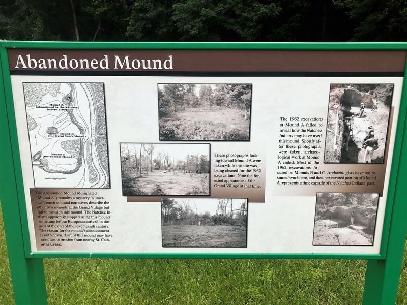
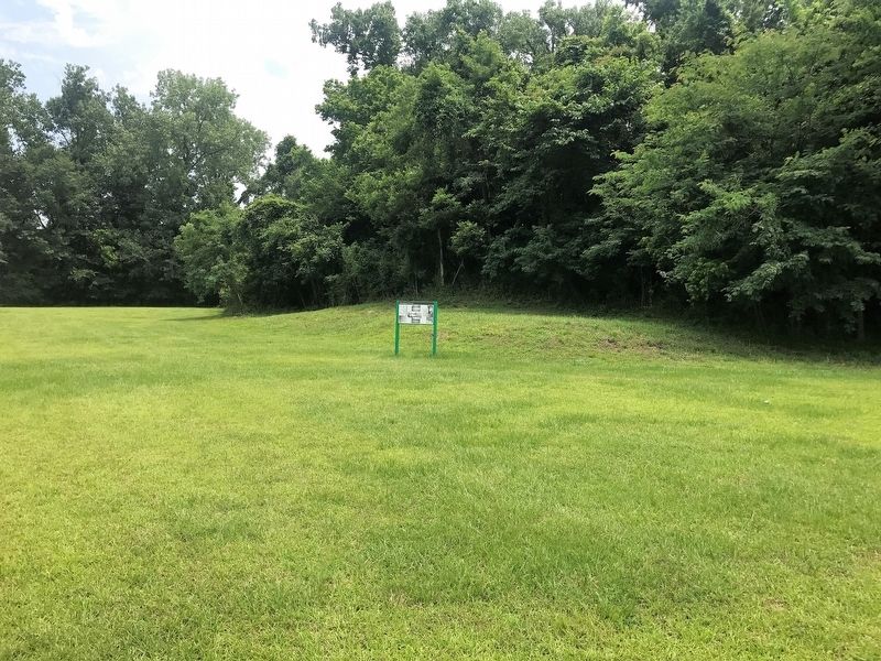
The Abandoned Mound (designated “Mound A”) remains a mystery. Numerous French colonial narratives describe the other two mounds at the Grand Village but fail to mention this mound. The Natchez Indians apparently stopped using this mound sometime before Europeans arrived in the area at the end of the seventeenth century. The reason for the mound's abandonment is not known. Part of this mound may have been lost to erosion from nearby St. Catherine Creek.
These photographs looking toward Mound A were taken while the site was being cleared for the 1962 excavations. Note the forested appearance of the Grand Village at that time.
The 1962 excavations at Mound A failed to reveal how the Natchez Indians may have used this mound. Shortly after these photographs were taken, archaeological work at Mound A ended. Most of the 1962 excavations focused on Mounds B and C. Archaeologists have not resumed work here, and the unexcavated portion of Mound A represents a time capsule of the Natchez Indians' past.
Topics. This historical marker is listed in this topic list: Native Americans.
Location. 31° 31.492′ N, 91° 22.728′ W. Marker is in Natchez, Mississippi, in Adams County. Marker can be reached from Jeff Davis Boulevard north of South Temple
Other nearby markers. At least 8 other markers are within walking distance of this marker. Historic Plaza (about 300 feet away, measured in a direct line); Native Structures (about 300 feet away); Ceremonial Center (about 300 feet away); Road to Fort Rosalie (about 500 feet away); Historical Archaeology - the Chief's House and Temple (about 600 feet away); Three Archaeological Excavations (about 600 feet away); Grand Village of the Natchez Indians (about 600 feet away); St. Catherine Creek (about 700 feet away). Touch for a list and map of all markers in Natchez.
More about this marker. Located on the grounds of the Historic Grand Village of the Natchez site.
Credits. This page was last revised on March 6, 2018. It was originally submitted on March 6, 2018, by Cajun Scrambler of Assumption, Louisiana. This page has been viewed 327 times since then and 27 times this year. Photos: 1, 2. submitted on March 6, 2018.

