North Olmsted in Cuyahoga County, Ohio — The American Midwest (Great Lakes)
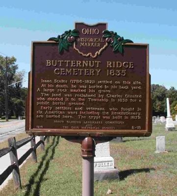
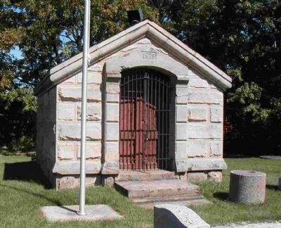
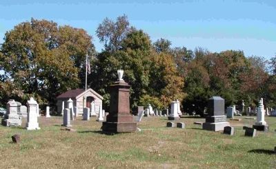
Butternut Ridge Cemetery 1835
Erected 1978 by North Olmsted Landmarks Commission and The Ohio Historical Society. (Marker Number 8-18.)
Topics and series. This historical marker is listed in this topic list: Cemeteries & Burial Sites. In addition, it is included in the Ohio Historical Society / The Ohio History Connection series list. A significant historical year for this entry is 1835.
Location. 41° 24.424′ N, 81° 54.343′ W. Marker is in North Olmsted, Ohio, in Cuyahoga County. Marker is on Butternut Ridge Road west of Great Northern Boulevard (Ohio Route 252). Touch for map. Marker is in this post office area: North Olmsted OH 44070, United States of America. Touch for directions.
Other nearby markers. At least 8 other markers are within 2 miles of this marker, measured as the crow flies. Springvale Ballroom (approx. 0.4 miles away); Frostville Post Office / Frostville Museum (approx. 0.8 miles away); The Oxcart Library (approx. 1.1 miles away); John J. Donnelly (approx. 1.1 miles away); First Universalist Church (approx. 1.3 miles away); North Olmsted Veterans Plaza (approx. 1˝ miles away); Parker Ranch (approx. 1˝ miles away); Joseph Peake's Farm (approx. 1.7 miles away). Touch for a list and map of all markers in North Olmsted.
More about this marker. Coordinates are approximate.
Credits. This page was last revised on June 16, 2016. It was originally submitted on September 17, 2008, by Kate McNeece of Fairview Park, Ohio. This page has been viewed 2,126 times since then and 62 times this year. Photos: 1, 2, 3, 4. submitted on September 17, 2008, by Kate McNeece of Fairview Park, Ohio. • Kevin W. was the editor who published this page.


