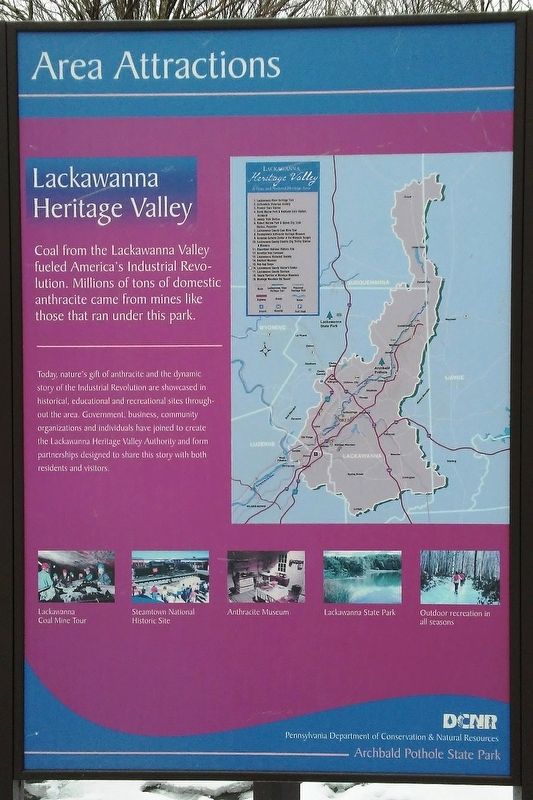
Lackawanna Heritage Valley
Area Attractions
Coal from the Lackawanna Valley fueled America's Industrial Revolution. Millions of tons of domestic anthracite came from mines like those that ran under this park.
Today, nature's gift of anthracite and the dynamic story of the Industrial Revolution are showcased in historical, educational and recreational sites throughout the area. Government, business, community organizations and individuals have joined to create the Lackawanna Heritage Valley Authority and form partnerships designed to share this story with both residents and visitors.
Topics. This historical marker is listed in these topic lists: Charity & Public Work • Parks & Recreational Areas.
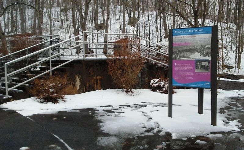
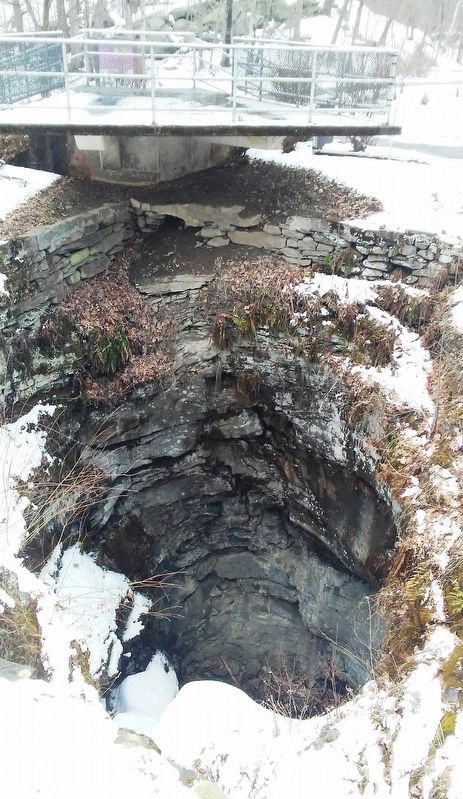
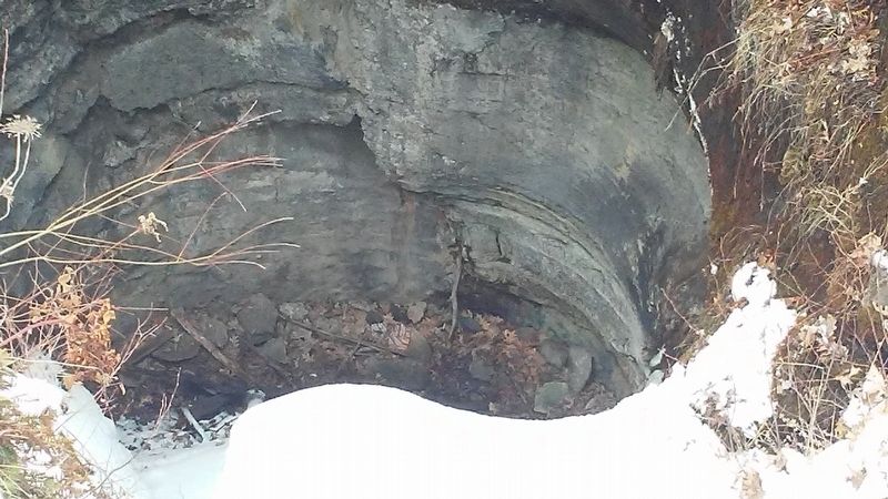
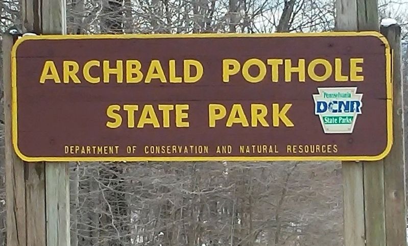
Location. 41° 30.712′ N, 75° 34.441′ W. Marker is in Archbald, Pennsylvania, in Lackawanna County. Marker kiosk is near the pothole in Archbald Pothole State Park. Touch for map. Marker is at or near this postal address: 861 Scranton Carbondale Highway, Archbald PA 18403, United States of America. Touch for directions.
Other nearby markers. At least 8 other markers are within 2 miles of this marker, measured as the crow flies. Discovery of the Pothole (here, next to this marker); The Geology of the Pothole (here, next to this marker); SPC. Nicholas Staback (approx. one mile away); Harry Sugerman (approx. one mile away); Veterans Memorial
Also see . . .
1. History of Archbald State Park. (Submitted on April 3, 2018, by William Fischer, Jr. of Scranton, Pennsylvania.)
2. Lackawanna Heritage Valley State and National Heritage Area. (Submitted on April 3, 2018, by William Fischer, Jr. of Scranton, Pennsylvania.)
Credits. This page was last revised on April 3, 2018. It was originally submitted on April 3, 2018, by William Fischer, Jr. of Scranton, Pennsylvania. This page has been viewed 186 times since then and 14 times this year. Photos: 1, 2, 3, 4, 5. submitted on April 3, 2018, by William Fischer, Jr. of Scranton, Pennsylvania.
