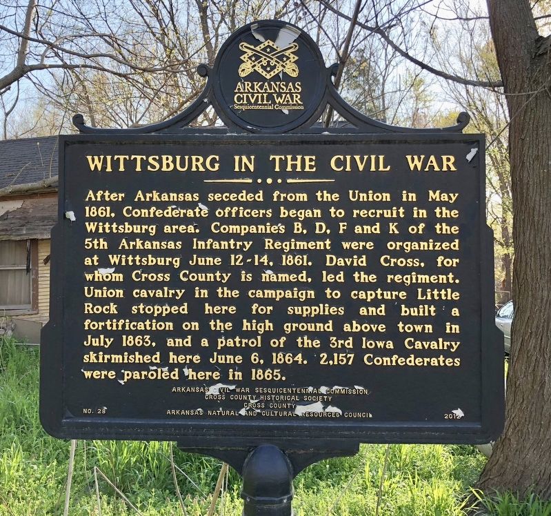
Wittsburg in Cross County, Arkansas — The American South (West South Central)
Wittsburg in the Civil War
Erected 2012 by Arkansas Civil War Sesquicentennial Commission, Cross County Historical Society, Cross County, Arkansas Natural and Cultural Resources Council. (Marker Number 28.)
Topics and series. This historical marker is listed in these topic lists: Forts and Castles • War, US Civil. In addition, it is included in the Arkansas Civil War Sesquicentennial Commission series list. A significant historical month for this entry is May 1861.
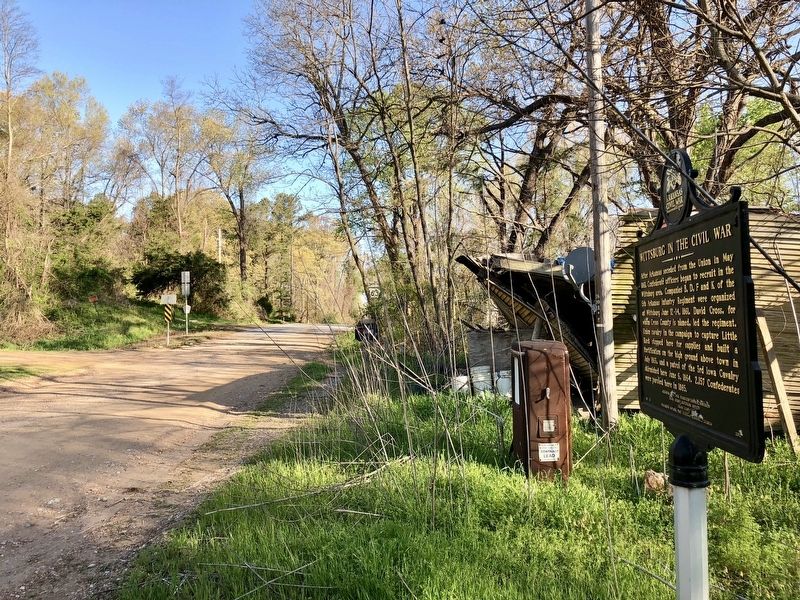
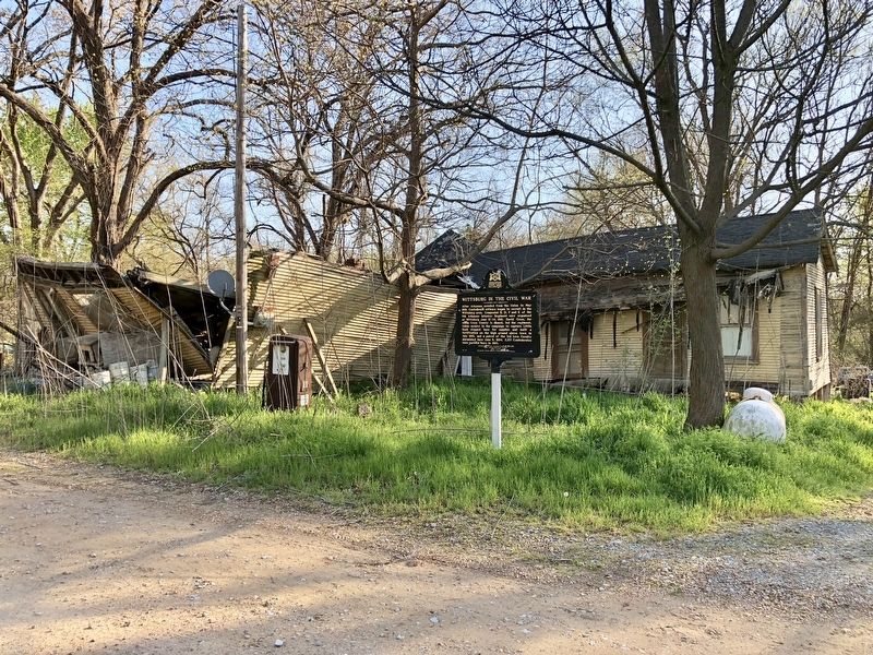
Location. 35° 13.084′ N, 90° 42.009′ W. Marker is in Wittsburg, Arkansas, in Cross County. Marker is on State Highway 163, 2.2 miles south of Highway 64, on the left when traveling south. Touch for map. Marker is at or near this postal address: 1062 Cross County Road 739, Wynne AR 72396, United States of America. Touch for directions.
Other nearby markers. At least 8 other markers are within 9 miles of this marker, measured as the crow flies. The Trail of Tears along the Memphis to Little Rock Road (approx. 4.6 miles away); Cross County (approx. 4.9 miles away); Old Military Road (approx. 8.7 miles away); Taylor's Creek and Mount Vernon (approx. 8.7 miles away); The Flood of 1912 (approx. 9 miles away); Welcome to the Village Trail (approx. 9.1 miles away); The Sawdust Hill Community is Born (approx. 9.1 miles away); River, Rail, and Timber Bring Sawmills to Parkin (approx. 9.1 miles away).
Also see . . .
1. Wikipedia article on the Wittsburg Fortifications during the Civil War. (Submitted on April 12, 2018, by Mark Hilton of Montgomery, Alabama.)
2. The State of Arkansas Preservation - Summary description of Wittsburg Fortification. (Submitted on April 12, 2018, by Mark Hilton of Montgomery, Alabama.)
Credits. This page was last revised on April 12, 2018. It was originally submitted on April 12, 2018, by Mark Hilton of Montgomery, Alabama. This page has been viewed 438 times since then and 53 times this year. Photos: 1, 2, 3. submitted on April 12, 2018, by Mark Hilton of Montgomery, Alabama.


