Ilwaco in Pacific County, Washington — The American West (Northwest)
Fort Canby
In Defense of the Columbia River
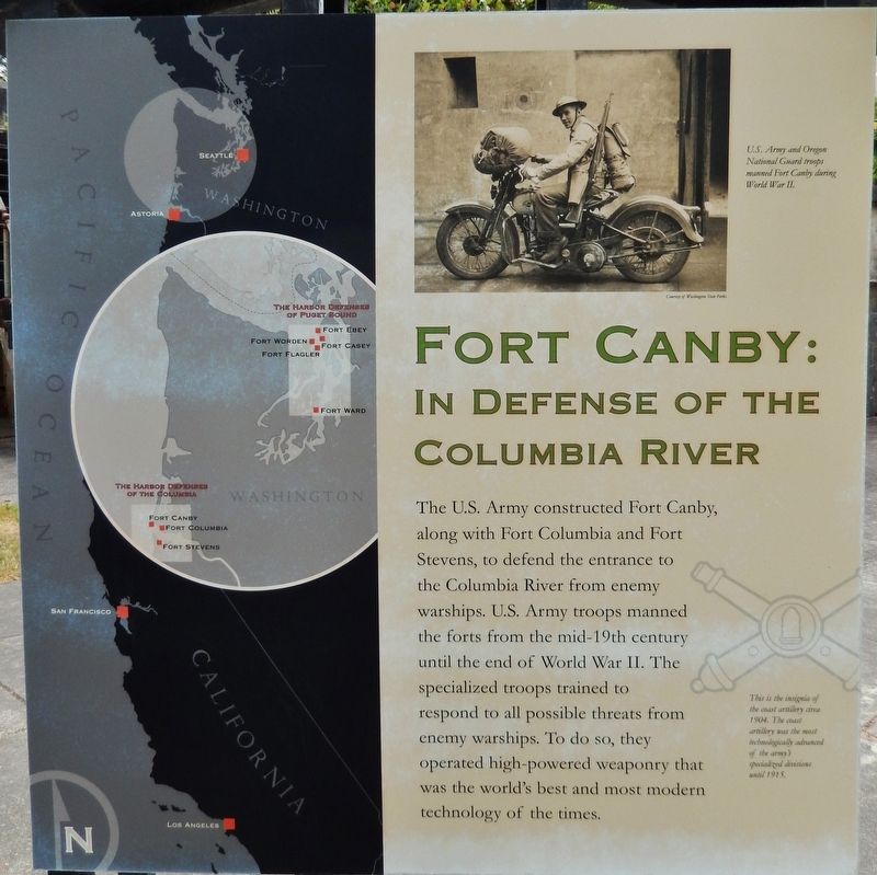
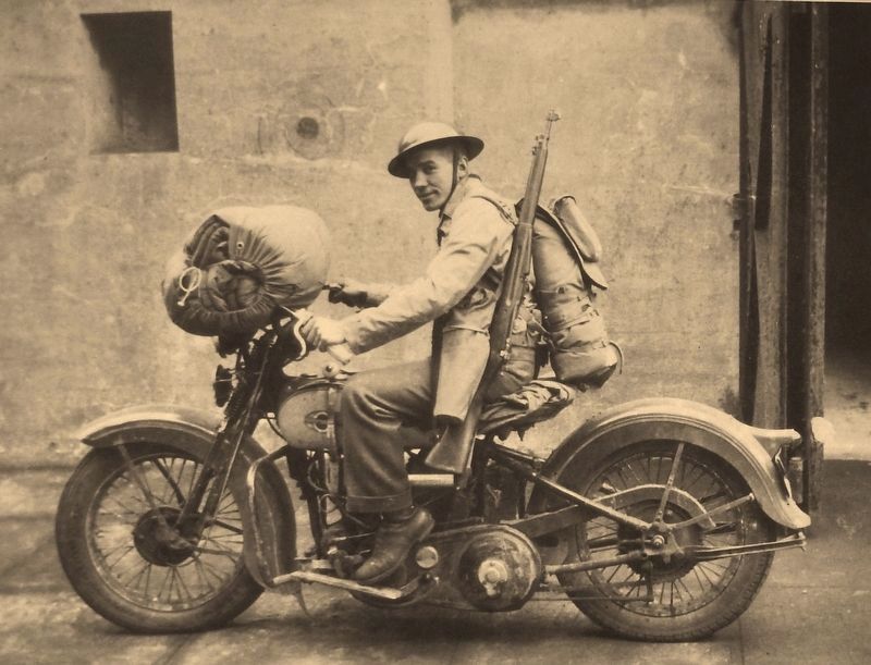
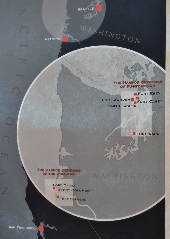
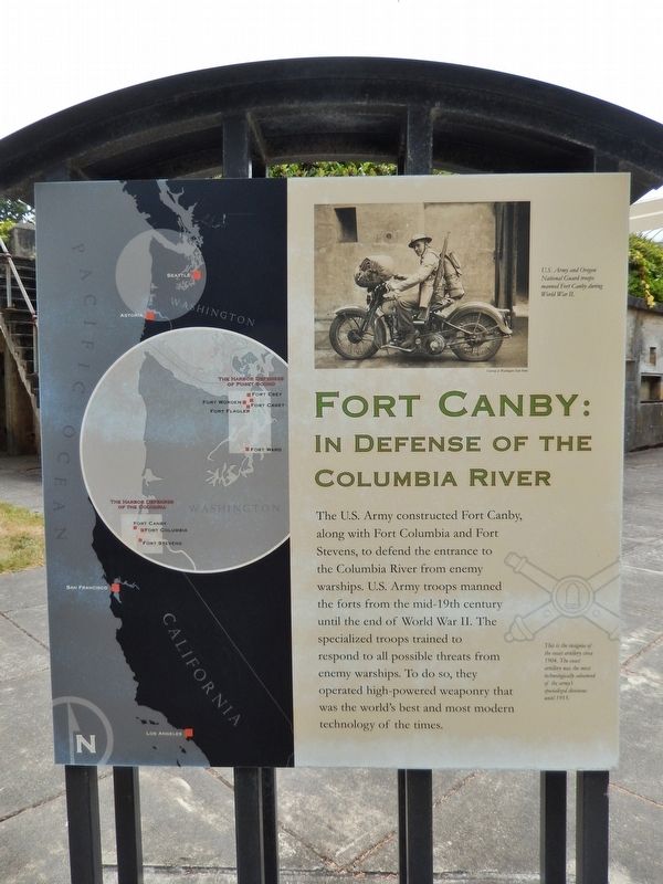
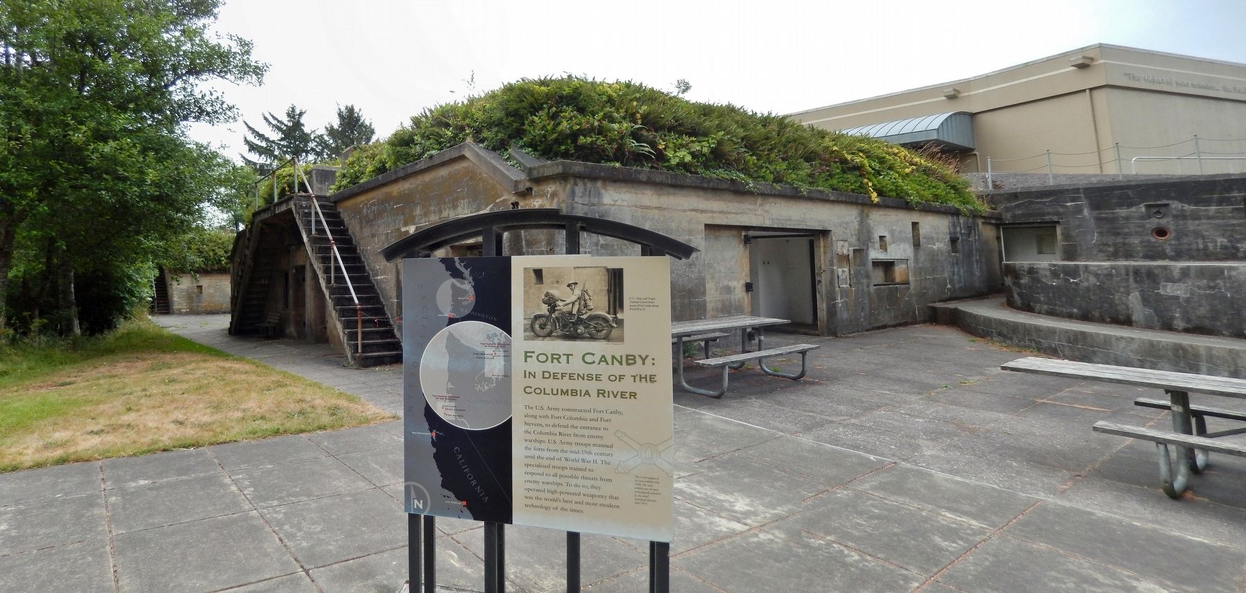
The U.S. Army constructed Fort Canby, along with Fort Columbia and Fort Stevens, to defend the entrance to the Columbia River from enemy warships. U.S. Army troops manned the forts from the mid-19th century until the end of World War II. The specialized troops trained to respond to all possible threats from enemy warships. To do so, they operated high-powered weaponry that was the world's best and most modern technology of the times.
Topics. This historical marker is listed in these topic lists: Forts and Castles • Waterways & Vessels.
Location. 46° 16.691′ N, 124° 3.214′ W. Marker is in Ilwaco, Washington, in Pacific County. Marker can be reached from Cape Disappointment Road, 0.4 miles south of Coast Guard Road when traveling south. This marker is located at the Cape Disappointment Lewis and Clark Interpretive Center. The marker is on the back (north) side of the Interpretive Center, near the parking lot. Touch for map. Marker is in this post office area: Ilwaco WA 98624, United States of America. Touch for directions.
Other nearby markers. At least 8 other markers are within 7 miles of this marker, measured as the crow flies. Keeping Pace with Technology (here, next to this marker); Lewis and Clark Trail (within shouting distance of this marker); Cape Disappointment Lighthouse (approx. 0.2 miles away); Life of a Lighthouse Keeper (approx. 1.8 miles away); Clamshell Railroad Driving Tour (approx. 2.1 miles away); An Evolving Playground (approx. 2.2 miles away); A Disastrous Year (approx. 2.3 miles away); Battery Pratt (approx. 6.4 miles away in Oregon). Touch for a list and map of all markers in Ilwaco.
More about this marker. This is a large, kiosk-style marker.
Also see . . .
1. Fort Canby. Fortwiki website entry:
Part of the Harbor Defense of the Columbia. Two other forts, Fort Stevens on the Oregon side and Fort Columbia on the Washington side of the Columbia River completed the Harbor Defense System. Between 1896 and 1908, after a long period of neglect during which the fort and its armament had become obsolete, the Army completely renovated them. New barracks and other buildings were constructed, and two batteries (Battery Harvey Allen and Battery O'Flyng) with a total of five rifled guns in concrete emplacements were installed. (Submitted on April 20, 2018, by Cosmos Mariner of Cape Canaveral, Florida.)
2. Cape Disappointment State Park. Wikipedia entry:
In 1862, during the American Civil War, a camp called Post at Cape Disappointment was established and fortifications existed here from that date to protect the northern approaches to the mouth of the Columbia River from possible attacks by Confederate raiders or foreign fleets. In 1863, its mate Fort Stevens was established on the south bank of the Columbia River. In 1864, the post was renamed Fort Cape Disappointment. Some Civil War-era fortifications still exist. They were called the Tower (or Right) Battery, Left Battery, and Center Battery. Fort Cape Disappointment was expanded and renamed Fort Canby in 1875. (Submitted on April 20, 2018, by Cosmos Mariner of Cape Canaveral, Florida.)
3. History 101: Fort Canby (Photo Diary). Daily Kos website entry:
(This link presents a comprehensive set of Fort Canby photographs) The fort’s original fortifications consisted of three earthwork batteries—Lighthouse, Left, and Center—which were armed with smoothbore canons aimed at the mount of the Columbia River. The three batteries were meant to house 22 guns, ranging from an 8-inch bore to a 15-inch bore. (Submitted on April 20, 2018, by Cosmos Mariner of Cape Canaveral, Florida.)
Credits. This page was last revised on February 5, 2023. It was originally submitted on April 19, 2018, by Cosmos Mariner of Cape Canaveral, Florida. This page has been viewed 351 times since then and 47 times this year. Photos: 1, 2, 3, 4, 5. submitted on April 20, 2018, by Cosmos Mariner of Cape Canaveral, Florida. • Andrew Ruppenstein was the editor who published this page.
