Union in Monroe County, West Virginia — The American South (Appalachia)
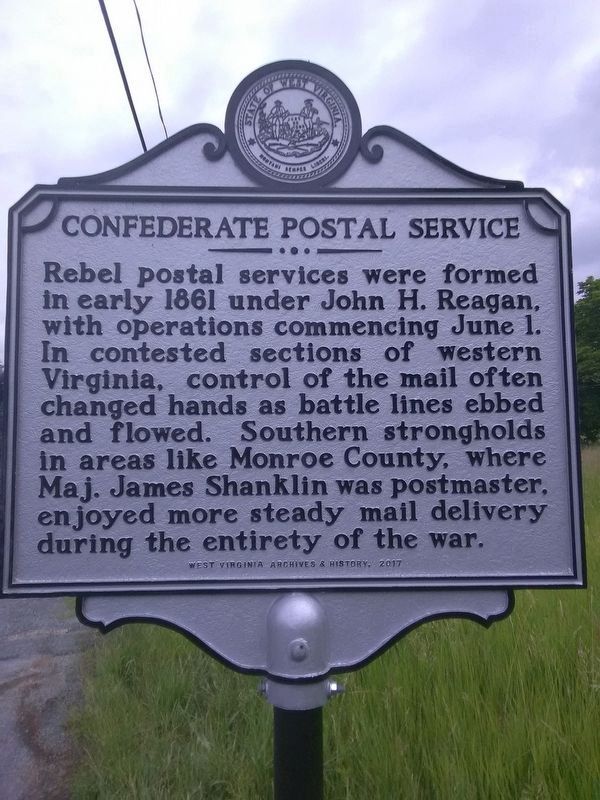
Confederate Postal Service
Erected 2017 by West Virginia Archives & History.
Topics and series. This historical marker is listed in these topic lists: Communications • War, US Civil. In addition, it is included in the Postal Mail and Philately, and the West Virginia Archives and History series lists. A significant historical date for this entry is June 1, 1861.
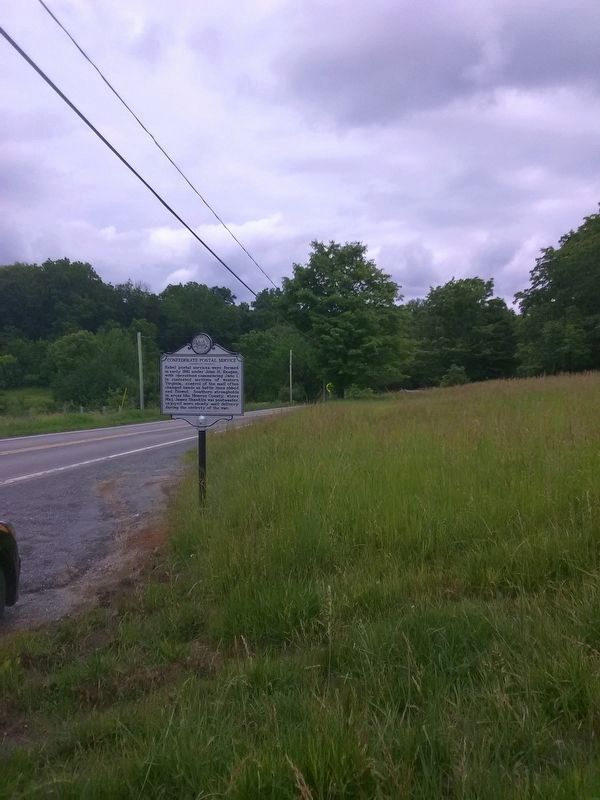
Location. 37° 36.009′ N, 80° 32.422′ W. Marker is in Union, West Virginia, in Monroe County. Marker is on Seneca Trail (U.S. 219) 0.1 miles south of Walnut Grove Lane, on the right when traveling north. Touch for map. Marker is in this post office area: Union WV 24983, United States of America. Touch for directions.
Other nearby markers. At least 8 other markers are within walking distance of this marker. Union, Western Virginia (approx. 0.3 miles away); Civil War Monument (approx. 0.4 miles away); Allen T. Caperton (approx. 0.4 miles away); Union Presbyterian Church (approx. 0.4 miles away); Gen. John Echols House (approx. half a mile away); Bishop Matthew W. Clair, Sr. (approx. 0.6 miles away); a different marker also named Union (approx. 0.6 miles away); General John Echols (approx. 0.6 miles away). Touch for a list and map of all markers in Union.
Credits. This page was last revised on June 12, 2018. It was originally submitted on June 11, 2018, by Roger Miller of Pulaski, Virginia. This page has been viewed 376 times since then and 123 times this year. Photos: 1, 2. submitted on June 11, 2018, by Roger Miller of Pulaski, Virginia. • Bernard Fisher was the editor who published this page.

