Harding in Morris County, New Jersey — The American Northeast (Mid-Atlantic)
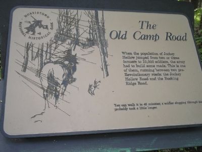
The Old Camp Road
Morristown National Historical Park
You can walk it in 45 minutes; a soldier slogging through snow probably took a little longer.
Erected by Morristown National Historical Park.
Topics. This historical marker is listed in these topic lists: Notable Places • Roads & Vehicles • War, US Revolutionary.
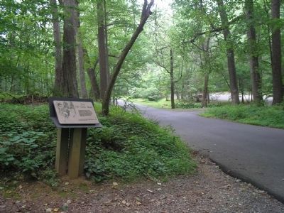
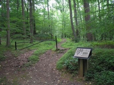
Location. 40° 46.071′ N, 74° 32.021′ W. Marker is in Harding, New Jersey, in Morris County. Marker is on Jockey Hollow Road, on the left when traveling south. Marker is located just before the Trail Center Parking Lot on Jockey Hollow Road in Morristown National Historical Park. Touch for map. Marker is in this post office area: Morristown NJ 07960, United States of America. Touch for directions.
Other nearby markers. At least 8 other markers are within walking distance of this marker. The First Maryland Brigade (within shouting distance of this marker); The Second Maryland Brigade (about 700 feet away, measured in a direct line); Guards (approx. 0.4 miles away); The Grand Parade (approx. 0.4 miles away); Inspections (approx. 0.4 miles away); The New York Brigade (approx. 0.4 miles away); Captain Adam Bettin (approx. half a mile away); A Revolutionary Winter (approx. half a mile away). Touch for a list and map of all markers in Harding.
More about this marker. The marker contains a picture of a soldier wrapped in a blanket riding a horse along the road in the snow.
Also see . . . Morristown National Historical Park. National Park Service website. (Submitted on September 28, 2008, by Bill Coughlin of Woodland Park, New Jersey.)
Credits. This page was last revised on June 16, 2016. It was originally submitted on September 28, 2008, by Bill Coughlin of Woodland Park, New Jersey. This page has been viewed 1,112 times since then and 27 times this year. Photos: 1, 2, 3. submitted on September 28, 2008, by Bill Coughlin of Woodland Park, New Jersey.


