South Haven in Van Buren County, Michigan — The American Midwest (Great Lakes)
Downtown's Rich History
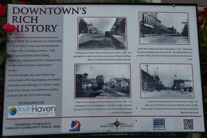
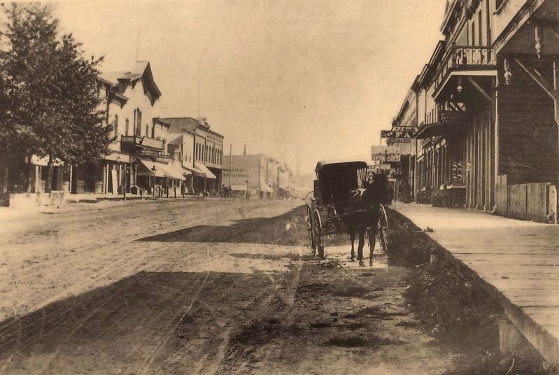
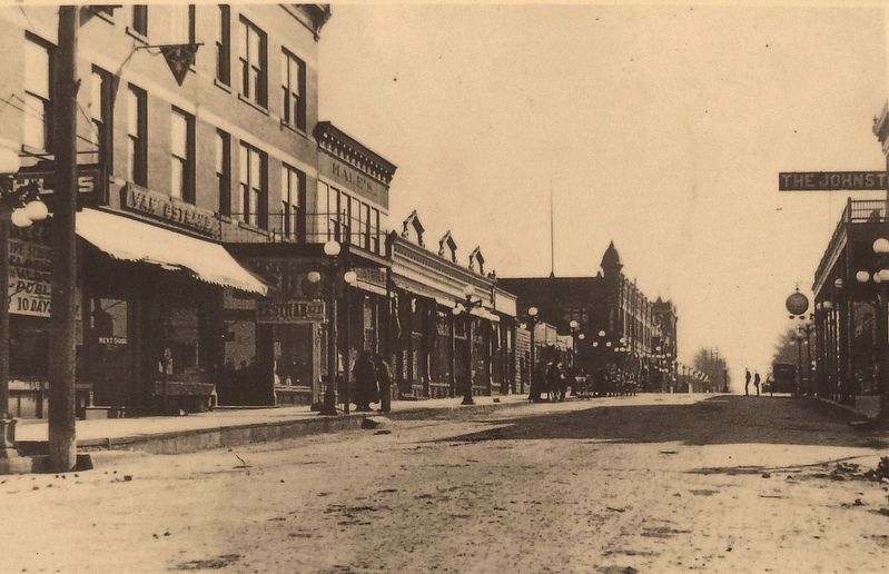
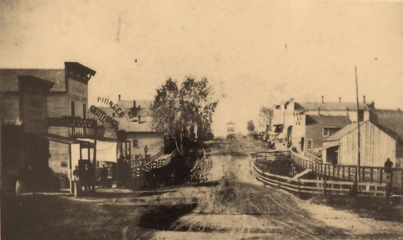
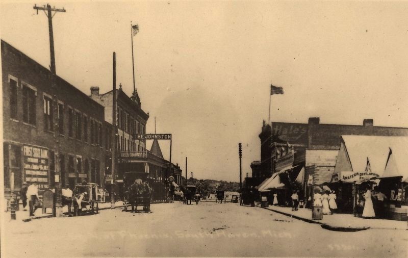
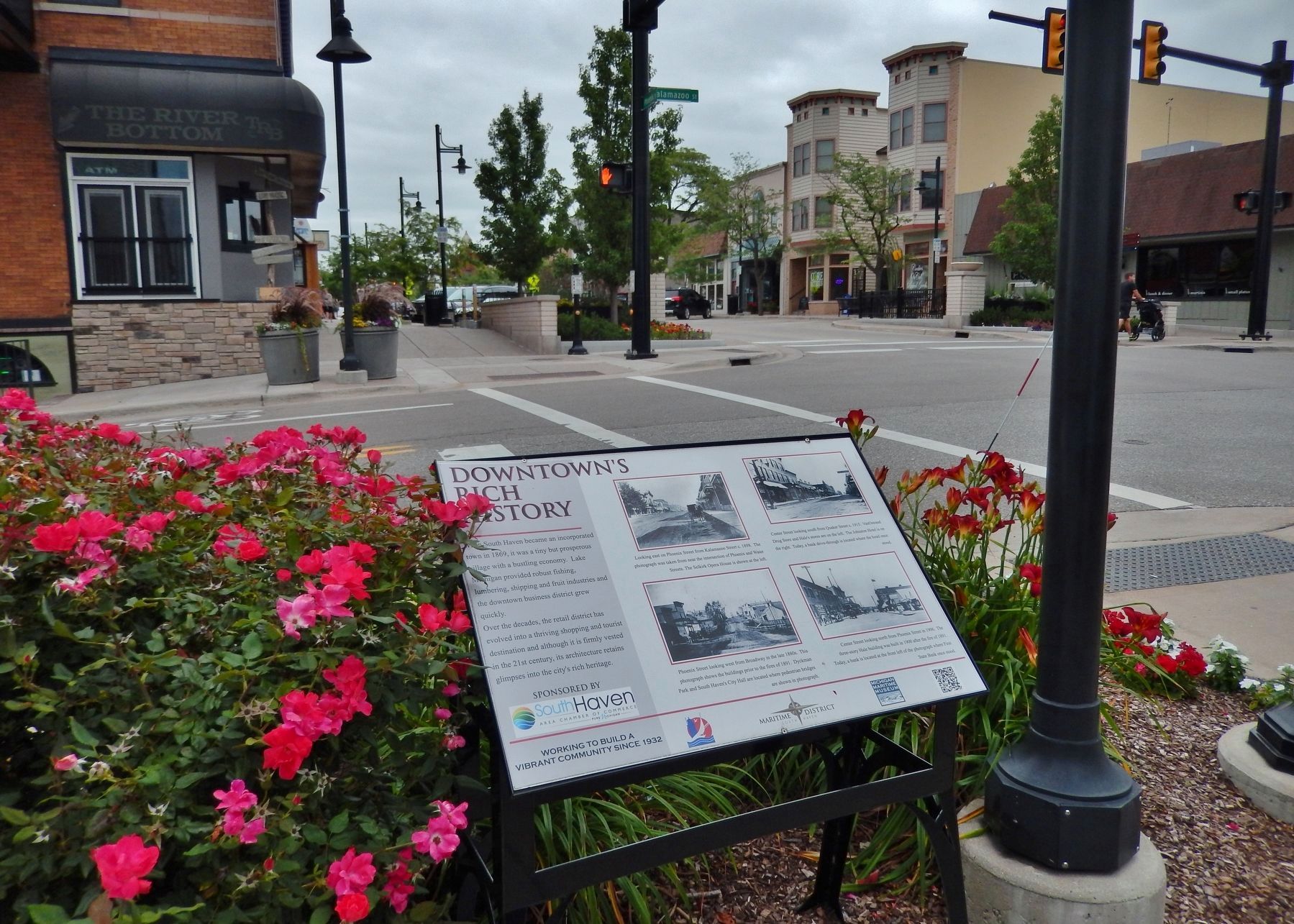
When South Haven became an incorporated town in 1869, it was a tiny but prosperous village with a bustling economy. Lake Michigan provided robust fishing, lumbering, shipping and fruit industries and the downtown business district grew quickly.
Over the decades, the retail district has evolved into a thriving shopping and tourist destination and although it is firmly vested in the 21st century, its architecture retains glimpses into the city's rich heritage.
Erected by South Haven Chamber of Commerce & Michigan Maritime Museum.
Topics. This historical marker is listed in these topic lists: Industry & Commerce • Notable Places • Settlements & Settlers • Waterways & Vessels. A significant historical year for this entry is 1869.
Location. 42° 24.197′ N, 86° 16.556′ W. Marker is in South Haven, Michigan, in Van Buren County. Marker is at the intersection of Kalamazoo Street and Phoenix Street, on the right when traveling south on Kalamazoo Street. Marker is located beside the sidewalk at the northwest corner of the intersection. Touch for map. Marker is at or near this postal address: 300 Kalamazoo Street, South Haven MI 49090, United States of America. Touch for directions.
Other nearby markers. At least 8 other markers are within walking distance of this marker. Commercial Shipping (about 300 feet away, measured in a direct line); Entertainment Around the Harbor (about 800 feet away); Shipbuilding (about 800 feet away); Algonquin Legends of South Haven (approx. 0.2 miles away); City of South Haven (approx. 0.2 miles away); A Peach of a Man (approx. 0.2 miles away); Captains of Industry (approx. 0.2 miles away); A Farming Heritage (approx. 0.2 miles away). Touch for a list and map of all markers in South Haven.
More about this marker. Marker is a large composite plaque, mounted horizontally on waist-high posts. Marker is part of South Haven's Harbor Walk series.
Related markers. Click here for a list of markers that are related to this marker. South Haven Harbor Walk
Also see . . .
1. South Haven History. City website entry:
In the 1850’s, with the construction of the first sawmill on the bank of the Black River, families first began to move to the area permanently. A school, hotel, homes, stores, and other buildings were built with lumber from the growing industry. The area exploded during the next forty years. The lumber industry cleared much of the land, shipping the lumber across the lake to Chicago and Milwaukee. Peach, apple, and blueberry growers began taking advantage of the cleared land, and a booming fruit industry ignited in the South Haven area. This was influential for other industries as well, bringing new factories and business to town such as canning factories and cider mills. (Submitted on June 25, 2018, by Cosmos Mariner of Cape Canaveral, Florida.)
2. South Haven Harbor Walk. This South Haven Harbor Walk map shows the location of this and other historical markers in South Haven. (Submitted on June 25, 2018, by Cosmos Mariner of Cape Canaveral, Florida.)
Credits. This page was last revised on March 27, 2022. It was originally submitted on June 25, 2018, by Cosmos Mariner of Cape Canaveral, Florida. This page has been viewed 313 times since then and 33 times this year. Photos: 1, 2, 3, 4, 5, 6. submitted on June 25, 2018, by Cosmos Mariner of Cape Canaveral, Florida. • Andrew Ruppenstein was the editor who published this page.
