Near Ore City in Upshur County, Texas — The American South (West South Central)
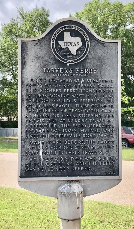
Tarver's Ferry
(Site 6/10 mile east)
Many years before, the Caddo Indians forded stream at this same point in their travels.
By 1867 a bridge was built at the crossing and the ferry was no longer needed.
Erected 1968 by State Historical Survey Committee. (Marker Number 11346.)
Topics. This historical marker is listed in this topic list: Waterways & Vessels. A significant historical year for this entry is 1867.
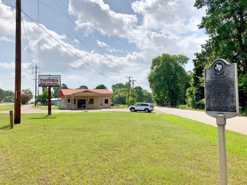
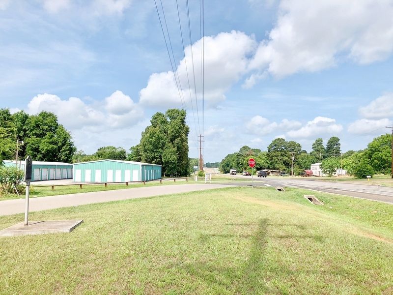
Location. 32° 50.724′ N, 94° 43.014′ W. Marker is near Ore City, Texas, in Upshur County. Marker is at the intersection of Upshur County Landing Road and Texas Route 155, on the right when traveling west on Upshur County Landing Road. Touch for map. Marker is at or near this postal address: 16420 TX-155, Ore City TX 75683, United States of America. Touch for directions.
Other nearby markers. At least 8 other markers are within 12 miles of this marker, measured as the crow flies. Old Coffeeville, C. S. A. (approx. 2.3 miles away); C.S.A. Camp Talley (approx. 2.3 miles away); Site of Old Spearman's Ferry (approx. 4.4 miles away); In Appreciation (approx. 5.1 miles away); Old Hughes Furnace (approx. 5.1 miles away); Riley Cemetery (approx. 5.4 miles away); Iron Bluff Cemetery (approx. 6˝ miles away); Pyland African American Cemetery (approx. 11.3 miles away).
Also see . . . Text of State of Texas act granting to James L. Tarver the privilege of constructing a ferry. (Submitted on June 25, 2018, by Mark Hilton of Montgomery, Alabama.)
Credits. This page was last revised on June 25, 2018. It was originally submitted on June 25, 2018, by Mark Hilton of Montgomery, Alabama. This page has been viewed 362 times since then and 23 times this year. Photos: 1, 2, 3. submitted on June 25, 2018, by Mark Hilton of Montgomery, Alabama.


