Lopeño in Zapata County, Texas — The American South (West South Central)
Old Lopeño
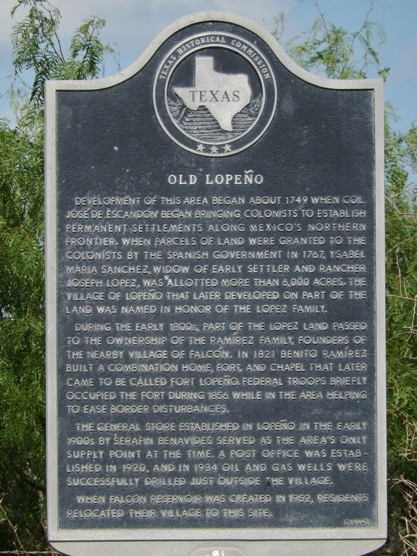
Development of this area began about 1749 when Col. José de Escandón began bringing colonists to establish permanent settlements along Mexico's northern frontier. When parcels of land were granted to the colonists by the Spanish government in 1767, Ysabel Maria Sanchez, widow of early settler and rancher Joseph Lopez, was allotted more than 6,000 acres. The village of Lopeño that later developed on part of the land was named in honor of the Lopez family.
During the early 1800s, part of the Lopez land passed to the ownership of the Ramirez family, founders of the nearby village of Falcon. In 1821 Benito Ramirez built a combination home, fort, and chapel that later came to be called Fort Lopeño. Federal troops briefly occupied the fort during 1856 while in the area helping to ease border disturbances.
The general store established in Lopeño in the early 1900s by Serafin Benavides served as the area's only supply point at the time. A post office was established in 1920, and in 1934 oil and gas wells were successfully drilled just outside the village. When Falcon Reservoir was created in 1952, residents relocated their village to this site.
Erected 1984 by Texas Historical Commission. (Marker Number 3759.)
Topics. This historical marker is listed in these topic lists: Hispanic Americans • Industry & Commerce • Settlements & Settlers. A significant historical year for this entry is 1749.
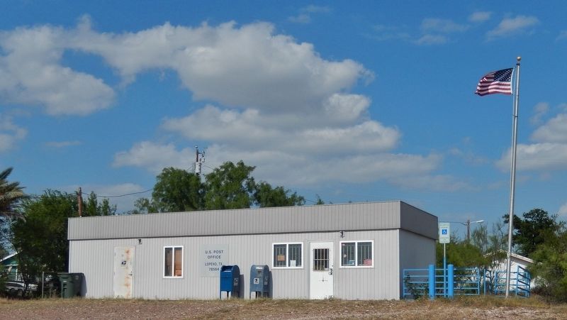
Location. 26° 42.519′ N, 99° 6.64′ W. Marker is in Lopeño, Texas, in Zapata County. Marker is on U.S. 83 south of Avenue E, on the right when traveling north. Marker is located in a pull-out on the east side of the highway, on the south edge of Lopeño. Touch for map. Marker is in this post office area: Lopeno TX 78564, United States of America. Touch for directions.
Other nearby markers. At least 2 other markers are within 17 miles of this marker, measured as the crow flies. Old Zapata (approx. 16.4 miles away); Mission Revilla a Visita (approx. 16½ miles away).
Also see . . .
1. Lopeño, Texas. Lopeño is on U.S. Highway 83 in southeastern Zapata County. It replaced old Lopeño and four other small farming and ranching communities-San Pedro, San José, Santa Fé and El Tigre-the residents of which were descendants of the settlers brought north in 1749 by Col. José de Escandón. When Falcon Dam was built in the early 1950s, the lake covered the old Lopeño site. The United States government had offered to move six communities to Zapata, which had pure water, sewage disposal, and new schools. But the community residents asked the government to build them separate communities near their farms and ranches. (Submitted on June 29, 2018, by Cosmos Mariner of Cape Canaveral, Florida.)
2. Lopeño, Texas History. The government had offered to move the towns to Zapata, but the locals wanted to be near the land they had been on for generations. After four days of rain in August 1953 - 450 families of Lopeño and Falcon were hurriedly evacuated from the flooded communities. When Old Lopeño was about to be moved, the International Boundary and Water Commission announced that all communities would have to move their cemeteries to a single location but the people insisted on separate cemeteries. (Submitted on June 29, 2018, by Cosmos Mariner of Cape Canaveral, Florida.)
3. Zapata County. Problems arose when the United States government proposed to relocate all of the individuals to a single site. Some residents chose to stay on their land. But when the Rio Grande flooded in August 1954, it filled the reservoir three years before the projected date and forced immediate evacuation. As a result, residents had to move to new towns that did not yet have water systems, schools, or much housing. There were also numerous problems with the compensation the government offered to those who were forced to move. Although residents were allowed to retain mineral rights for their original property, no mineral rights were granted on their new land. Consequently, residents filed
a lawsuit against the United States government for just compensation. Hearings lasted from 1954 until 1962, when the court ruled that the plaintiffs should be paid additional money for lost homes, land, and accrued interest. (Submitted on June 29, 2018, by Cosmos Mariner of Cape Canaveral, Florida.)
Credits. This page was last revised on July 4, 2018. It was originally submitted on June 29, 2018, by Cosmos Mariner of Cape Canaveral, Florida. This page has been viewed 503 times since then and 84 times this year. Photos: 1, 2, 3, 4. submitted on June 29, 2018, by Cosmos Mariner of Cape Canaveral, Florida. • Andrew Ruppenstein was the editor who published this page.


