Fort Lupton in Weld County, Colorado — The American Mountains (Southwest)
Fort Lupton
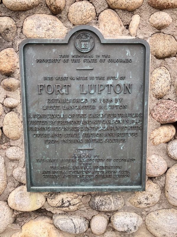
property of the State of Colorado
—
Due west ¼ mile is the site of
Fort Lupton
Established in 1836 by
Lieut. Lancaster P. Lupton
A rendezvous of the early fur trappers
visited by Fremont and Kit Carson in 1843
Farming begun here in the early forties
Overland Stage station and refuge
from Indians in the sixties
Erected 1929 by the State Historical Society of Colorado from the Mrs. J. N. Hall Foundation and by the Thursday Afternoon Club, citizens and pioneers of Fort Lupton.
Topics and series. This historical marker is listed in these topic lists: Forts and Castles • Native Americans. In addition, it is included in the Colorado - History Colorado series list. A significant historical year for this entry is 1836.
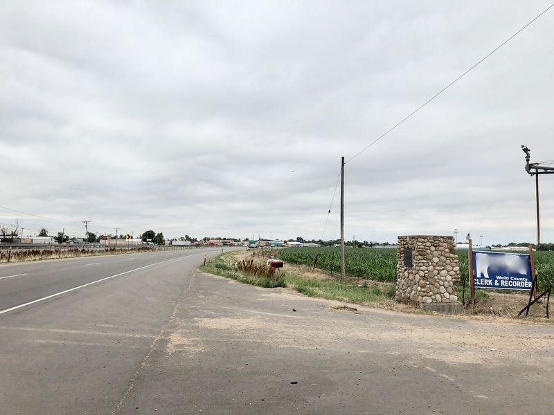
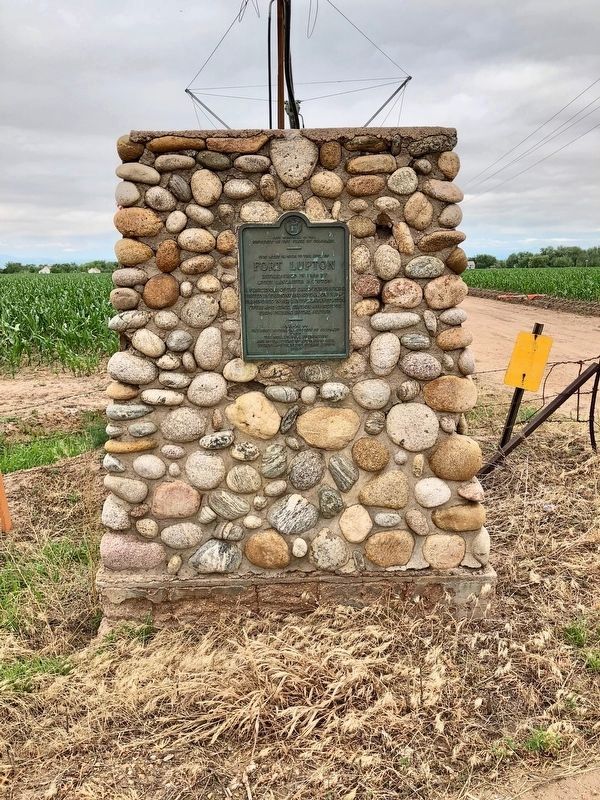
Location. 40° 5.911′ N, 104° 48.657′ W. Marker is in Fort Lupton, Colorado, in Weld County. Marker is on CanAm Highway (U.S. 85) 1.2 miles south of County Route 18, on the right when traveling south. Touch for map. Marker is at or near this postal address: CanAm Highway, Fort Lupton CO 80621, United States of America. Touch for directions.
Other nearby markers. At least 8 other markers are within 13 miles of this marker, measured as the crow flies. Fort Vasquez / Fort Vasquez Country (approx. 6.6 miles away); Fort Vasquez (approx. 6.7 miles away); a different marker also named Fort Vasquez (approx. 6.7 miles away); Fort Vasquez Trading Post (approx. 6.7 miles away); Historic City Hall (approx. 7.8 miles away); Dedicated to the Pioneer Spirit of our Early Settlers (approx. 7.9 miles away); Fort Junction (approx. 9.8 miles away); Columbine Mine / Coal Field Country (approx. 12.6 miles away).
Also see . . .
1. Fort Wiki on Fort Lupton (includes photos). (Submitted on June 30, 2018, by Mark Hilton of Montgomery, Alabama.)
2. Website about reconstructed fort (with video). (Submitted on July 24, 2020.)

Photographed By Duane and Tracy Marsteller, July 6, 2020
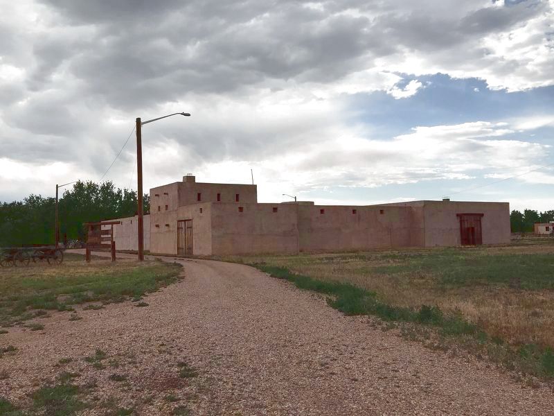
4. Replica Fort Lupton
This recreation is part of South Platte Historical Park about 1/4 mile west of marker.
While the original fort that Lancaster Lupton built has long been gone, a dedicated group of individuals began in 2003 to reconstruct this fort. The reconstructed Fort Lancaster, as it was known in its original period of operation, 1836-1844, was completed and dedicated in 2011.
While the original fort that Lancaster Lupton built has long been gone, a dedicated group of individuals began in 2003 to reconstruct this fort. The reconstructed Fort Lancaster, as it was known in its original period of operation, 1836-1844, was completed and dedicated in 2011.
Credits. This page was last revised on July 24, 2020. It was originally submitted on June 30, 2018, by Mark Hilton of Montgomery, Alabama. This page has been viewed 446 times since then and 26 times this year. Photos: 1, 2, 3. submitted on June 30, 2018, by Mark Hilton of Montgomery, Alabama. 4. submitted on July 17, 2020, by Duane and Tracy Marsteller of Murfreesboro, Tennessee.


