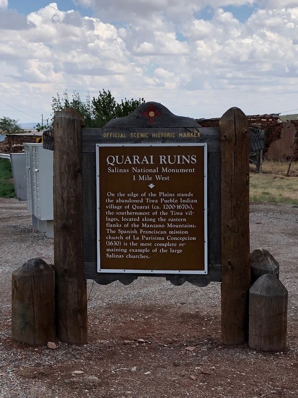
Near Mountainair in Torrance County, New Mexico — The American Mountains (Southwest)
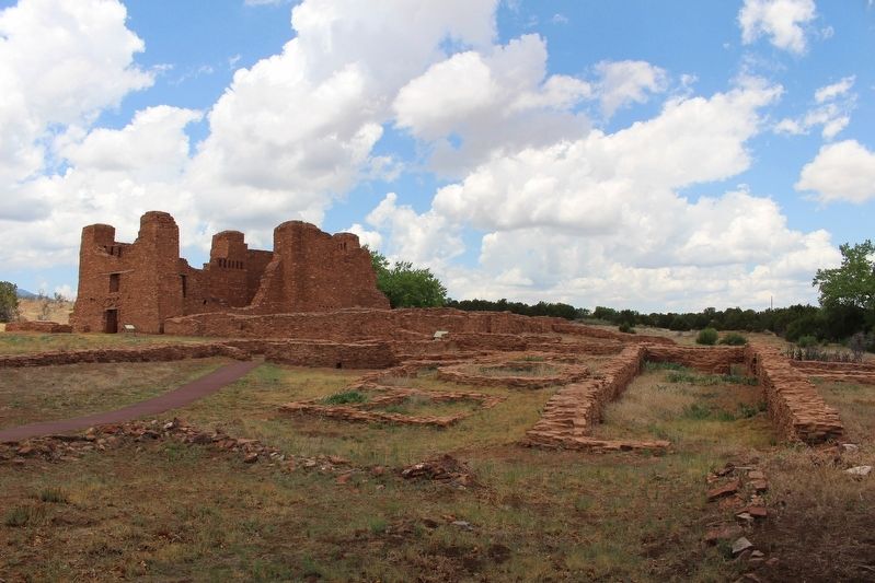
Quarai Ruins
Salinas National Monument
— 1 Mile West —
Erected by New Mexico Historic Preservation Division. (Marker Number 79.)
Topics. This historical marker is listed in these topic lists: Churches & Religion • Native Americans.
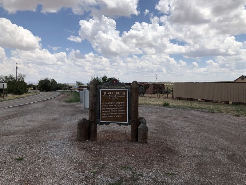
Location. 34° 36.014′ N, 106° 17.048′ W. Marker is near Mountainair, New Mexico, in Torrance County. Marker is at the intersection of Manzano Quarai Road (State Highway 55 at milepost 70) and County Road B076, on the left when traveling north on Manzano Quarai Road. Touch for map. Marker is at or near this postal address: 122 Manzano Quarai Road, Mountainair NM 87036, United States of America. Touch for directions.
Other nearby markers. At least 8 other markers are within 12 miles of this marker, measured as the crow flies. Willard Mercantile Company (approx. 6.1 miles away); Mountainair (approx. 6.1 miles away); Shaffer Hotel (approx. 6.1 miles away); Salt Mission Trail (approx. 6.2 miles away); a different marker also named Mountainair (approx. 6.2 miles away); Tajique (approx. 10.6 miles away); Mystery in Ruins/Ruinas misteriosas (approx. 11.6 miles away); Fred Sisneros' Grave/Don Federico (approx. 11.6 miles away). Touch for a list and map of all markers in Mountainair.
Credits. This page was last revised on July 6, 2018. It was originally submitted on July 5, 2018, by Brian Anderson of Humble, Texas. This page has been viewed 285 times since then and 19 times this year. Photos: 1, 2, 3. submitted on July 5, 2018, by Brian Anderson of Humble, Texas. • Syd Whittle was the editor who published this page.


