Dearborn in Wayne County, Michigan — The American Midwest (Great Lakes)
Wyoming Avenue
and the Changing Industrial Landscape
Wyoming Avenue has a vivid industrial history.
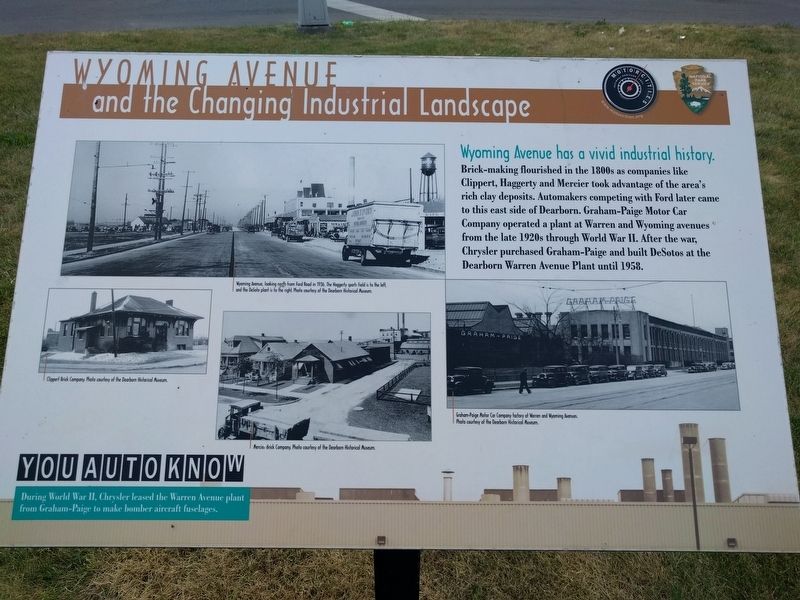
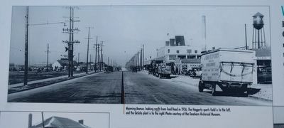
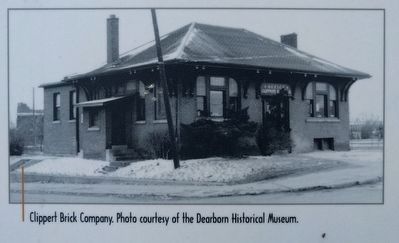
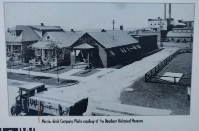
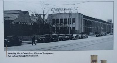
Brick-making flourished in the 1800s as companies like Clippert, Haggerty and Mercier took advantage of the area's rich clay deposits. Automakers competing with Ford later came to this east side of Dearborn. Graham-Paige Motor Car Company operated a plant at Warren and Wyoming avenues from the late 1920s through World War II. After the war, Chrysler purchased Graham-Paige and built DeSotos at the Dearborn Warren Avenue Plant until 1958.
You Auto Know
During World War II, Chrysler leased the Warren Avenue plant from Graham-Paige to make bomber aircraft fuselages.
Erected by MotorCities National Heritage Area, National Park Service.
Topics and series. This historical marker is listed in these topic lists: Industry & Commerce • Roads & Vehicles. In addition, it is included in the MotorCities National Heritage Area series list. A significant historical year for this entry is 1958.
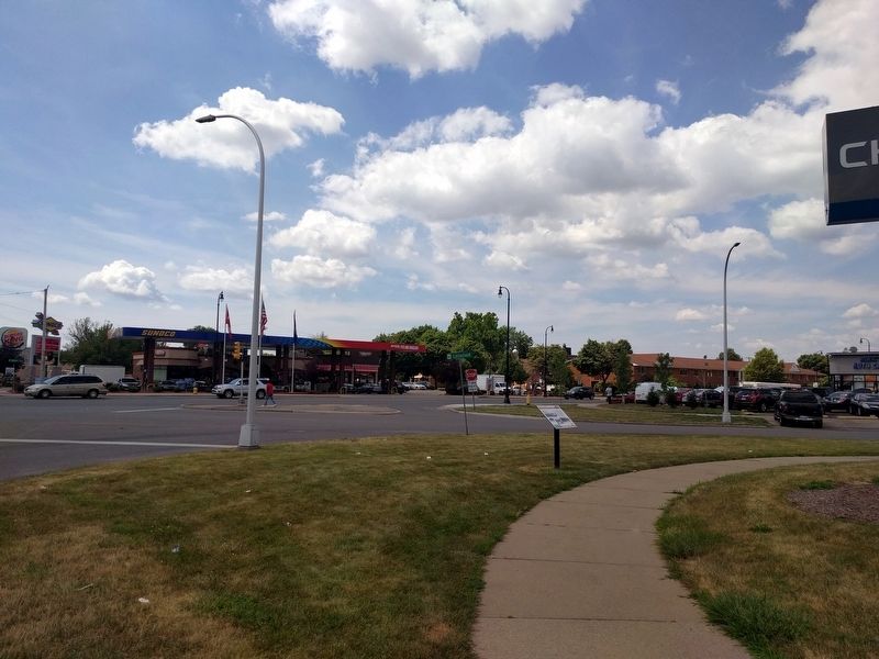
Location. 42° 20.694′ N, 83° 9.449′ W. Marker is in Dearborn, Michigan, in Wayne County. Marker is at the intersection of Wyoming Avenue and Littlefield Boulevard, on the left when traveling north on Wyoming Avenue. Touch for map. Marker is at or near this postal address: 7301 Wyoming Avenue, Dearborn MI 48126, United States of America. Touch for directions.
Other nearby markers. At least 8 other markers are within 2 miles of this marker, measured as the crow flies. Saint Alphonsus Parish / Saint Alphonsus Catholic Church Complex (approx. one mile away); Fordson High School (approx. 1˝ miles away); Dedicated to Christopher Columbus (approx. 1˝ miles away); The Schaefer Building (approx. 1.9 miles away); Dearborn City Hall (approx. 1.9 miles away); Dearborn Town Hall Complex / Orville L. Hubbard (approx. 1.9 miles away); Dearborn War Memorial (approx. 1.9 miles away); The Neighborhood (approx. 1.9 miles away). Touch for a list and map of all markers in Dearborn.
Also see . . .
1. Graham-Paige. (Submitted on July 20, 2018, by Joel Seewald of Madison Heights, Michigan.)
2. DeSoto (automobile). (Submitted on July 20, 2018, by Joel Seewald of Madison Heights, Michigan.)
3. The DeSoto-Warren Plant of Chrysler Corporation (and Graham-Paige). (Submitted on July 20, 2018, by Joel Seewald of Madison Heights, Michigan.)
Credits. This page was last revised on July 20, 2018. It was originally submitted on July 20, 2018, by Joel Seewald of Madison Heights, Michigan. This page has been viewed 293 times since then and 46 times this year. Photos: 1, 2, 3, 4, 5, 6, 7. submitted on July 20, 2018, by Joel Seewald of Madison Heights, Michigan.
