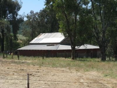
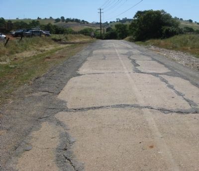
Near El Dorado Hills in El Dorado County, California — The American West (Pacific Coastal)
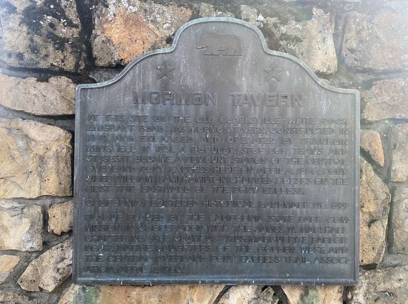
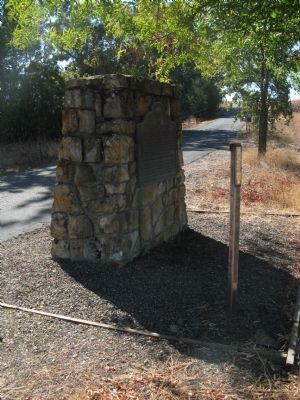
Mormon Tavern
Overland Pony Express Route - California
Erected 1950 by The California State Park Commission in cooperation with the James W. Marshall Chapter No.49 E Clampus Vitus, Marguerte Parlor No.12 Native Daughters of the Golden West and the Central Overland Pony Express Trail Organization April 2, 1950. (Marker Number 699.)
Topics and series. This historical marker is listed in these topic lists: Industry & Commerce • Landmarks • Roads & Vehicles • Settlements & Settlers. In addition, it is included in the California Historical Landmarks, the E Clampus Vitus, the Lincoln Highway, the Native Sons/Daughters of the Golden West, and the Pony Express National Historic Trail series lists. A significant historical month for this entry is April 1863.
Location. 38° 39.366′ N, 121° 3.585′ W. Marker is near El Dorado Hills, California, in El Dorado County. Marker is on PG&E-Clarksville Sub-Station Road, on the right when traveling west. From State Hwy 50 take Latrope Road South for 0.5 mi to White Rock Road. Then NE 0.9 mi, then go W 0.3 mi on PG&E Clarksville Substation Rd to plaque, 0.5 mi West of Clarksville town site. Touch for map. Marker is in this post office area: El Dorado Hills CA 95762, United States of America. Touch for directions.
Other nearby markers. At least 8 other markers are within 5 miles of this marker, measured as the crow flies. Pleasant Grove House (approx. 3.6 miles away); Sterlingshire (approx. 3.8 miles away); Prairie City Cemetery (approx. 3.9 miles away); Mormon Island Relocation Cemetery (approx. 4 miles away); Mormon Island, Negro Hill, Salmon Falls, and Condemned Bar (approx. 4.1 miles away); James Skinner Winery & Distillery (approx. 4.6 miles away); Folsom Dam Improvements (approx. 4.6 miles away); a different marker also named Mormon Island (approx. 4.7 miles away). Touch for a list and map of all markers in El Dorado Hills.
More about this marker. This site has been designated as California Registered Historical Landmark No.699
Related markers. Click here for a list of markers that are related to this marker. Follow the first Eastbound journey of the Pony Express through California to Genoa, Nevada....To better understand the relationship, study each marker in the order shown.
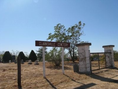
Also see . . . El Dorado Hills: Clarksville-Mormon Tavern. (Submitted on October 4, 2008.)
Additional commentary.
1. “Clarksville Days”
On May 9, 2009, the Clarksville Regional Historical Society hosted “Clarksville Days” at the site of Clarksville. The area, now on private property, was opened to the public. There were docents, interpretive signs, Pony Express re-enactments, Mormon Battalion cannon firings, and local historical society information booths. See Photos 7, 8,10,11,12 and 13.
— Submitted May 9, 2009, by Syd Whittle of Mesa, Arizona.
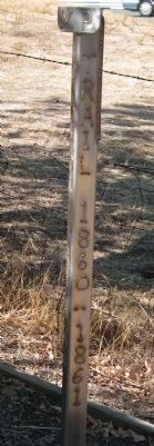
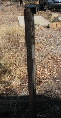
2. Pony Express trail stake is gone
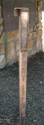
When this marker was visited in February 2022, the Pony Express marker (the "stake") in front of the main marker was gone.
— Submitted February 24, 2022, by Andrew Ruppenstein of Lamorinda, California.
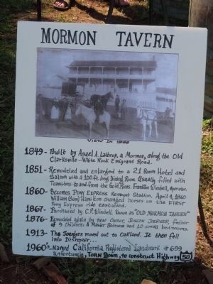
Photographed By Syd Whittle, May 9, 2009
7. Sign Displayed During "Clarksville Days"
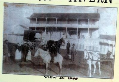
-1851- Remodeled and enlarged to a 21-room hotel and saloon with a 100 ft. long dining room. Usually filled with teamsters - to and from the gold mines. Franklin Winchell, Operator.
-1860- Becomes Pony Express Remount Station. April 4, 1860 William (Sam) Hamilton changed horses on the first Pony Express ride eastward.
-1867- Purchased by C.P. Winchell, Known as "Old Mormon Tavern".
-1876- Remodeled again by new owner, Joseph Joerger, father of 9 children: A master bedroom and 10 small bedrooms.
-1913- The Joergers moved out to Oakland. It fell into disrepair...
-1960s- Named California Registered Historical Landmark #699. Unfortunately, torn down, to construct Highway 50.
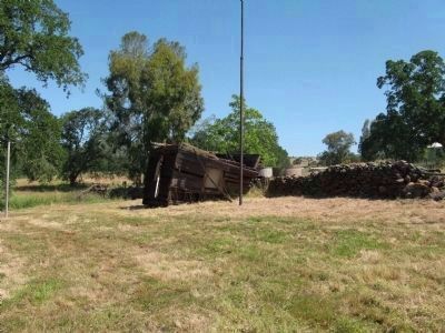
Photographed By Syd Whittle, May 9, 2009
10. United (Clarksville) School Site
On this site stood United School. The original flagpole is in the center of the photo next to what remains of the woodshed. At the far left of the photo is the pole used for the rope swing. After the school closed the building was moved about 100 yards up the road and converted to a barn.
The school was heated by a stove and water was supplied by bucket. The site had two outhouses – one for boys and one for girls.
The school was heated by a stove and water was supplied by bucket. The site had two outhouses – one for boys and one for girls.
Photographed By Syd Whittle, May 9, 2009
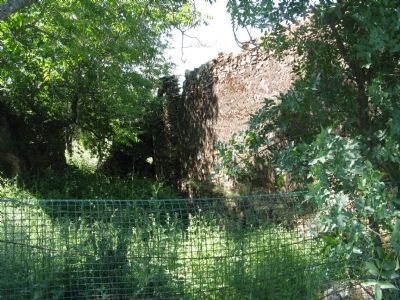
12. Wells Fargo Building
Wells Fargo & Co. operated in this stone building dating back to the 1850's. In 1860 the agent was J.Y. Gridley. After the railroad was built to Latrope, Clarksville's Wells Fargo shut down. The stage was discontinued and the bank business was sent to Folsom.
Credits. This page was last revised on March 5, 2023. It was originally submitted on October 4, 2008, by Syd Whittle of Mesa, Arizona. This page has been viewed 4,283 times since then and 106 times this year. Photos: 1. submitted on February 24, 2022. 2, 3, 4, 5, 6. submitted on October 12, 2008, by Syd Whittle of Mesa, Arizona. 7, 8. submitted on May 9, 2009, by Syd Whittle of Mesa, Arizona. 9. submitted on October 12, 2008, by Syd Whittle of Mesa, Arizona. 10, 11, 12, 13. submitted on May 9, 2009, by Syd Whittle of Mesa, Arizona.
