Crowley in Crowley County, Colorado — The American Mountains (Southwest)
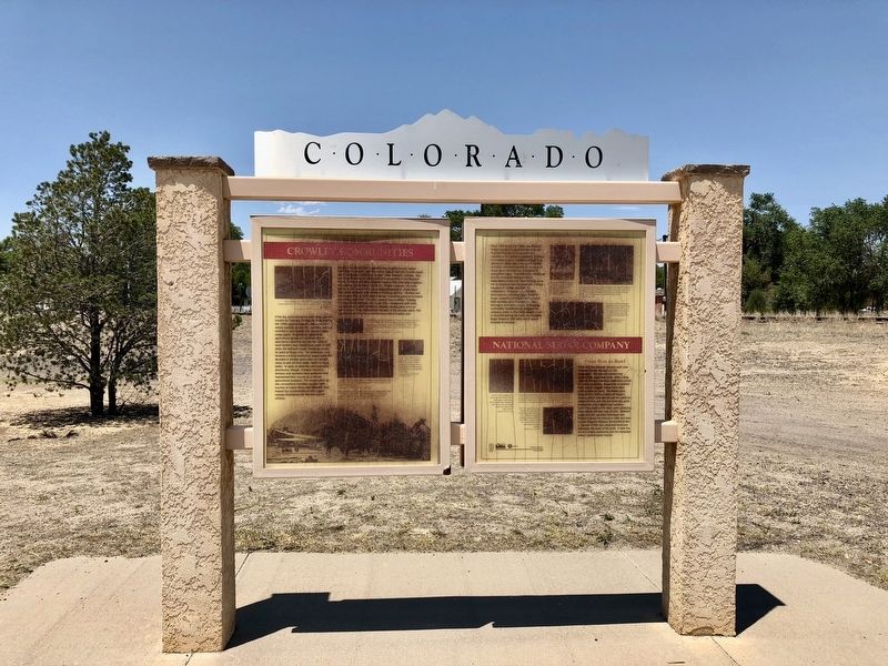
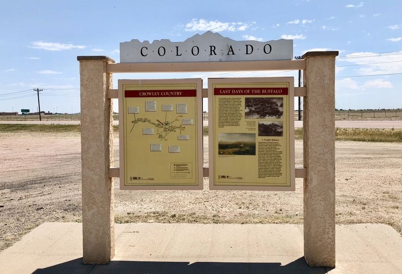
Crowley Communities / National Sugar Company / Last Days of the Buffalo / Crowley Country
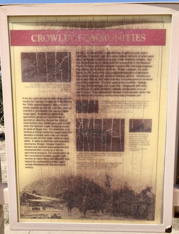
If the dry summers of the late 1920s spelled trouble for Crowley County, the Dust Bowl of the 1930s spelled disaster. Many farmers simply packed up and left, and their acreage reverted to grasslands and became cattle range again. Heightened demand for agricultural goods during World War II spurred an upswing, though the spirit of local farmers' was challenged again in 1987 when the National Sugar Company closed its plant at Sugar City. The shutdown cost farmers a critical market for sugar beets (for decades a reliable cash crop) and forced many to sell off their water rights to repay debts. In spite of adversity and economic downturns, though, Crowley County's farmers and ranchers have persisted and maintained their county as a vibrant agricultural producer. The construction of two correctional facilities coupled with tourism at Lakes Henry and Meredith also helped the communities of this region remake themselves for the twenty-first century.
Almost no settlers lived in present-day Crowley County before 1890, and no wonder, with its scarce rainfall and lack of other water sources the area could only sustain a few scattered ranches. But that all changed in the 1890s with the completion of the Missouri Pacific Railroad and the Colorado Canal (a fifty-mile-long irrigation channel led by the Arkansas River). Within a decade, the once-barren region had turned into an agrarian paradise of abundant land, plentiful water, and excellent shipping access. Hamlets and towns sprouted up, and more than fifty leading communities—Ordway, Crowley, Olney Springs, and Sugar City—burgeoned with mills, canning plants, grain elevators, schools, newspapers, even an opera house. They represented the best of the pioneer spirit—the transformation of a harsh environment into a liveable one.
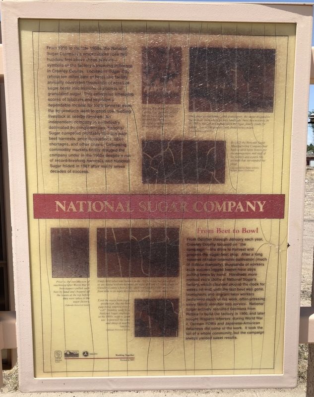
From 1900 to the late 1960s, the National Sugar Company's smokestacks rose two hundred feet above these prairies—symbols of the factory's towering influence in Crowley County. Located in Sugar City (about ten miles east of here) the facility annually converted thousands of acres of sugar beets into millions of pounds of granulated sugar. This enterprise employed scores of laborers and provided a dependable income for local farmers; even the by-products went to good use, feeding livestock at nearby ranches. An independent company in an industry dominated by conglomerates. National Sugar competed profitably through poor beet harvests, price fluctuations, labor shortages, and other crises. Collapsing commodity markets finally dragged the company under in the 1960s despite a run of record-breaking harvests, and National Sugar folded in 1967 after nearly seven decades of success.
From October through January each year, Crowley County focused on “the campaign”—the drive to harvest and process the sugar-beet crop. After a long summer of labor-intensive cultivation (much of it done manually), thousands of workers each autumn logged twelve-hour days pulling beets by hand. Hundreds more worked extra shifts at National Sugar's factory, which churned around the clock for weeks on end, until the last beet was gone. Immigrants and migrant farm workers performed much of the work, often pressing every family member into service. National Sugar actively recruited Germans from Russia to build the factory in 1900, and later sought Hispano laborers; during World War II, German POWs and Japanese-American detainees did some of the work. It took the toil of a whole community, but the campaign always yielded sweet results.
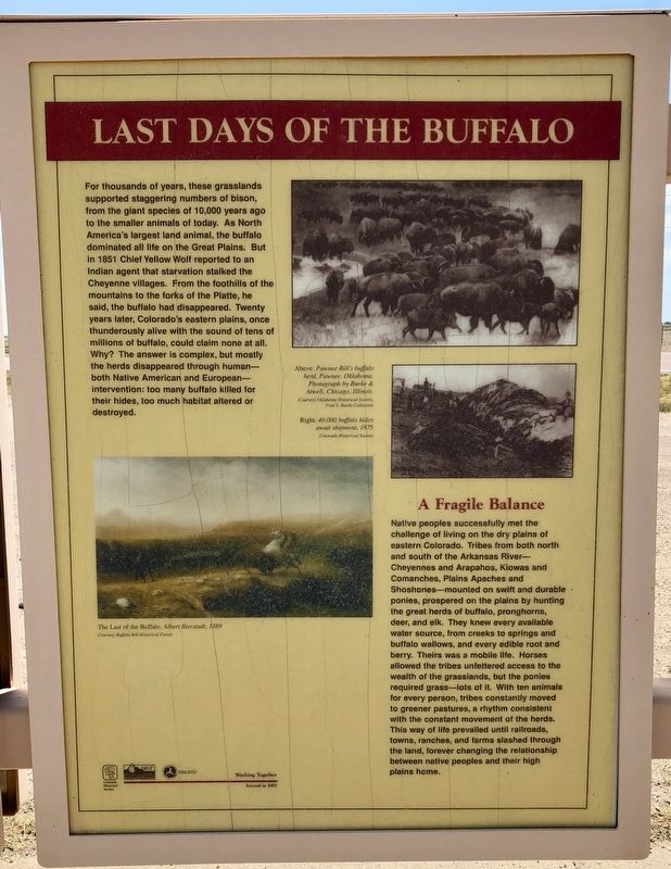
For thousands of years, these grasslands supported staggering numbers of bison, from the giant species of 10,000 years ago to the smaller animals of today. As North America's largest land animal, the buffalo dominated all life on the Great Plains. But in 1851 Chief Yellow Wolf reported to an Indian agent that starvation stalked the Cheyenne villages. From the foothills of the mountains to the forks of the Platte, he said, the buffalo had disappeared. Twenty years later, Colorado's eastern plains, once thunderously alive with the sound of tens of millions of buffalo, could claim none at all. Why? The answer is complex, but mostly the herds disappeared through human—both Native American and European—intervention: too many buffalo killed for their hides, too much habitat altered or destroyed.
Native peoples successfully met the challenge of living on the dry plains of eastern Colorado. Tribes from both north and south of the Arkansas River—Cheyennes and Arapahos, Kiowas and Comanches, Plains Apaches and Shoshones-mounted on swift and durable ponies, prospered on the plains by hunting the great herds of buffalo, pronghorns, deer, and elk. They knew every available water source, from creeks to springs and buffalo wallows, and every edible root and berry. Theirs was a mobile life. Horses allowed the tribes unfettered access to the wealth of the grasslands, but the ponies required grass—lots of it. With ten animals for every person, tribes constantly moved to greener pastures, a rhythm consistent with the constant movement of the herds. This way of life prevailed until railroads, towns, ranches, and farms slashed through the land, forever changing the relationship between native peoples and their high plains home.
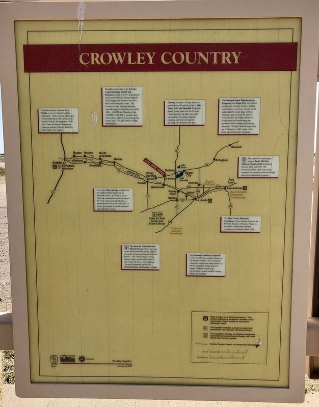
{Area map of historical & geographical highlights}
Erected 2002 by the Colorado Historical Society, Colorado Department of Transportation.
Topics. This historical marker is listed in these topic lists: Agriculture • Animals • Industry & Commerce • Settlements & Settlers. A significant historical year for this entry is 1987.
Location. 38° 11.52′ N, 103° 51.413′ W. Marker is in Crowley, Colorado, in Crowley County. Marker is at the intersection of Colorado Route 96 and Broadway, on the right when traveling west on State Route 96. Touch for map. Marker is in this post office area: Crowley CO 81033, United States of America. Touch for directions.
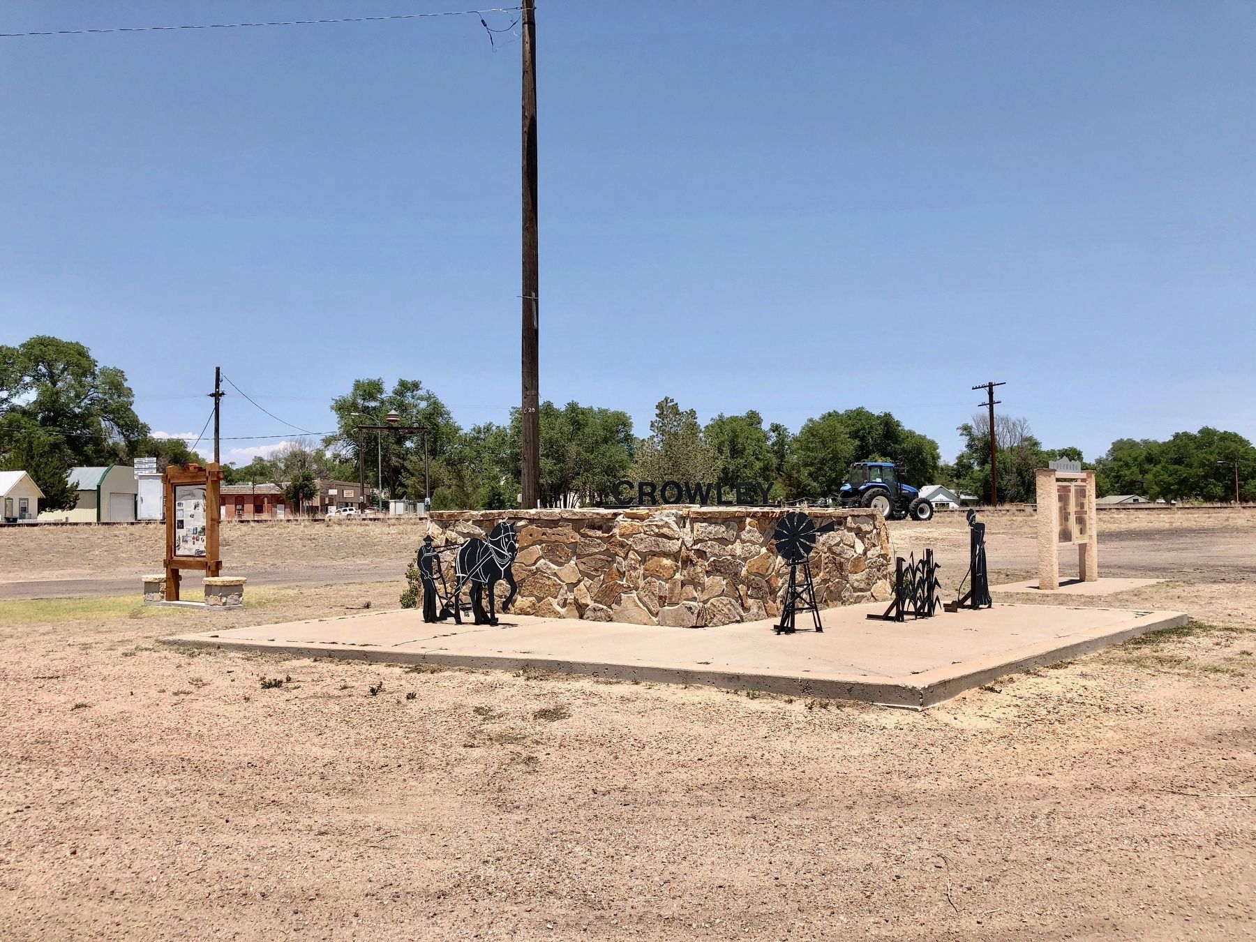
Other nearby markers. At least 2 other markers are within 12 miles of this marker, measured as the crow flies. Crowley (a few steps from this marker); George Washington Swink (approx. 12 miles away).
Also see . . . Crowley County, Colorado. Wikipedia entry (Submitted on May 29, 2022, by Larry Gertner of New York, New York.)
Additional commentary.
1. Portions of marker have discolored
Due to weathering and fungus, portions of the marker are barely readable or unreadable.
— Submitted July 24, 2018, by Mark Hilton of Montgomery, Alabama.
Credits. This page was last revised on May 29, 2022. It was originally submitted on July 24, 2018, by Mark Hilton of Montgomery, Alabama. This page has been viewed 440 times since then and 57 times this year. Photos: 1, 2, 3, 4, 5, 6, 7. submitted on July 24, 2018, by Mark Hilton of Montgomery, Alabama.
