Harding in Morris County, New Jersey — The American Northeast (Mid-Atlantic)
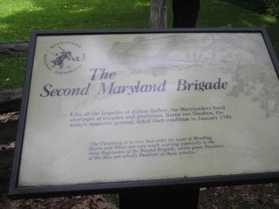
The Second Maryland Brigade
Morristown National Historical Park
“The Cloathing is in very bad order for want of Mending. Shirts and Shoes are very much wanting especially in the three Regiments of the Second Brigade; where great Numbers of the Men are wholly Destitude of those articles.”
Erected by Morristown National Historical Park, National Park Service.
Topics. This historical marker is listed in these topic lists: Notable Events • Notable Places • War, US Revolutionary. A significant historical month for this entry is January 1780.
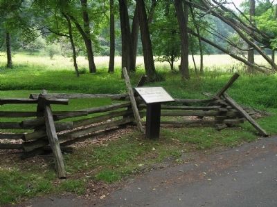
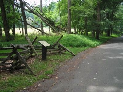
Location. 40° 45.983′ N, 74° 32.123′ W. Marker is in Harding, New Jersey, in Morris County. Marker is on Jockey Hollow Road, on the left when traveling south. Marker is in the Jockey Hollow Unit of Morristown National Historical Park. Touch for map. Marker is in this post office area: Morristown NJ 07960, United States of America. Touch for directions.
Other nearby markers. At least 8 other markers are within walking distance of this marker. The First Maryland Brigade (about 600 feet away, measured in a direct line); The Old Camp Road (about 700 feet away); Captain Adam Bettin (approx. 0.3 miles away); Hand’s Brigade (approx. 0.4 miles away); The Wick Farm (approx. 0.4 miles away); a different marker also named The Wick Farm (approx. 0.4 miles away); The Aqueduct Trail (approx. 0.4 miles away); Wick Farm Garden (approx. 0.4 miles away). Touch for a list and map of all markers in Harding.
More about this marker. The upper right corner of the marker features a picture of soldier huts in Jockey Hollow.
Also see . . . Morristown National Historical Park. National Park Service website. (Submitted on October 5, 2008, by Bill Coughlin of Woodland Park, New Jersey.)
Credits. This page was last revised on June 16, 2016. It was originally submitted on October 5, 2008, by Bill Coughlin of Woodland Park, New Jersey. This page has been viewed 950 times since then and 19 times this year. Photos: 1, 2, 3, 4. submitted on October 5, 2008, by Bill Coughlin of Woodland Park, New Jersey.


