Murfreesboro in Pike County, Arkansas — The American South (West South Central)
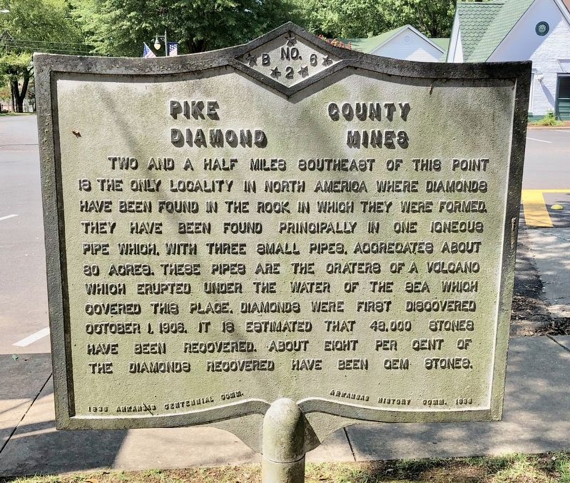
Pike County Diamond Mines
Erected 1936 by 1836 Arkansas Centennial Comm. - Arkansas History Comm. 1936. (Marker Number B-26.)
Topics and series. This historical marker is listed in these topic lists: Natural Features • Natural Resources • Notable Places. In addition, it is included in the Arkansas Centennial Commission series list. A significant historical date for this entry is October 1, 1906.
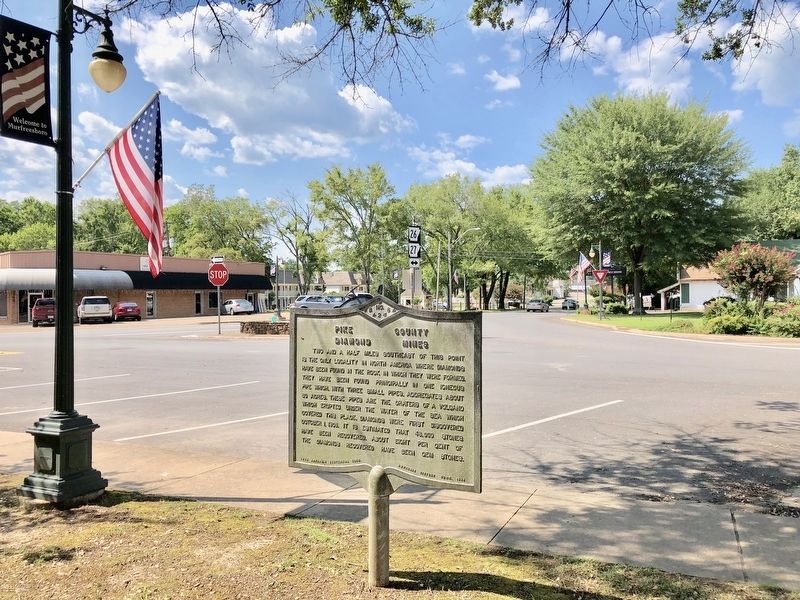
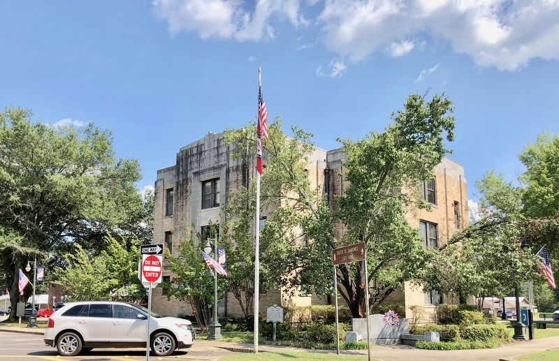
Location. 34° 3.74′ N, 93° 41.395′ W. Marker is in Murfreesboro, Arkansas, in Pike County. Marker is at the intersection of Courthouse Square and North Washington Avenue, on the left when traveling west on Courthouse Square. Located on the northeast corner of the Pike County Courthouse lawn. Touch for map. Marker is at or near this postal address: 1 Courthouse Square, Murfreesboro AR 71958, United States of America. Touch for directions.
Other nearby markers. At least 3 other markers are within 9 miles of this marker, measured as the crow flies. Pike County Court House (a few steps from this marker); Henry Merrell / Royston Factory Mill (within shouting distance of this marker); Glen Travis Campbell (approx. 8.6 miles away).
Also see . . .
1. Wikipedia article on the Crater of Diamond State Park. (Submitted on August 7, 2018, by Mark Hilton of Montgomery, Alabama.)
2. History of the Diamond Mine. (Submitted on August 7, 2018, by Mark Hilton of Montgomery, Alabama.)
Credits. This page was last revised on August 7, 2018. It was originally submitted on August 7, 2018, by Mark Hilton of Montgomery, Alabama. This page has been viewed 297 times since then and 28 times this year. Photos: 1, 2, 3. submitted on August 7, 2018, by Mark Hilton of Montgomery, Alabama.


