Near New Edinburg in Cleveland County, Arkansas — The American South (West South Central)
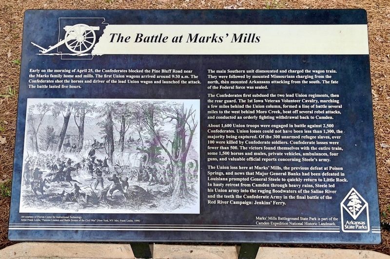
The Battle at Marks' Mill
The main Southern unit dismounted and charged the wagon train. They were followed by mounted Missourians charging from the north, then mounted Arkansans attacking from the south. The fate of the Federal force was sealed.
The Confederates first subdued the two lead Union regiments, then the rear guard. The 1st Iowa Veteran Volunteer Cavalry, marching a few miles behind the Union column, formed a line of battle several miles to the west behind Moro Creek, beat off several rebel attacks, and conducted an orderly fighting withdrawal back to Camden.
About 1,600 Union troops were engaged in battle against 2,500 Confederates. Union losses could not have been less than 1,300, the majority being captured. Of the 300 unarmed refugee slaves, over 100 were killed by Confederate soldiers. Confederate losses were fewer than 500. The victors found themselves with the entire train, some 1,500 horses and mules, private vehicles, ambulances, four guns, and valuable official reports concerning Steele's army.
The Union loss here at Marks' Mills, the previous defeat at Poison Springs, and news that Major General Banks had been defeated in Louisiana prompted General Steele to quickly return to Little Rock. In hasty retreat from Camden through heavy rains, Steele led his Union army into the raging floodwaters of the Saline River and the teeth the Confederate Army in the final battle of the Red River Campaign: Jenkins' Ferry.
Erected by the State of Arkansas.
Topics. This historical marker is listed in this topic list: War, US Civil. A significant day of the year for for this entry is April 25.
Location. 33° 46.878′ N, 92° 15.409′ W. Marker is near New Edinburg, Arkansas, in Cleveland County. Marker is at the intersection of Arkansas Route 97 and Arkansas Route 8, on the left when traveling north on State Route 97. Located at the Marks' Mill Battleground State Park. Touch for map. Marker is in this post office area: New Edinburg AR 71660, United States of America. Touch for directions.
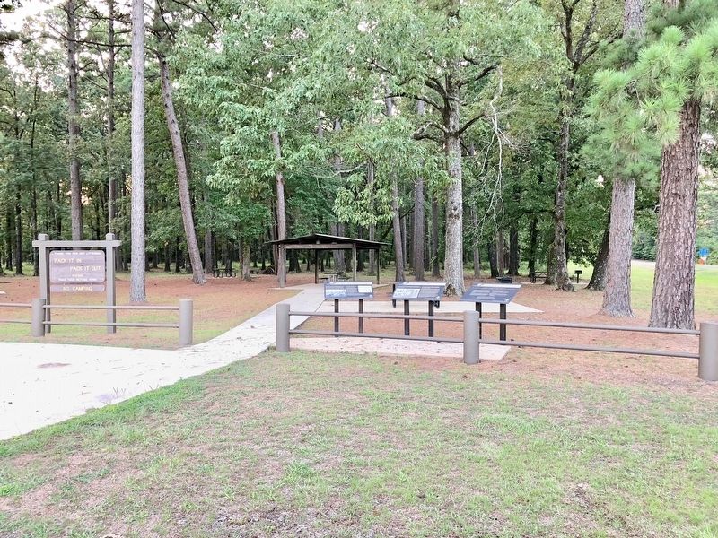
Other nearby markers. At least 8 other markers are within 2 miles of this marker, measured as the crow flies. The Union Wagon Train Leaves Camden (here, next to this marker); Witnesses to War (here, next to this marker); The Battle of Marks' Mill (within shouting distance of this marker); The Battle Had Begun! (approx. 0.6 miles away); Cleveland County Battle of Mark's Mill (approx. 0.7 miles away); Shelby's Approach
(approx. 0.7 miles away); Battle of Marks' Mills / Marks Family Experience (approx. 0.8 miles away); New Edinburg Commercial Historic District (approx. 1.9 miles away). Touch for a list and map of all markers in New Edinburg.
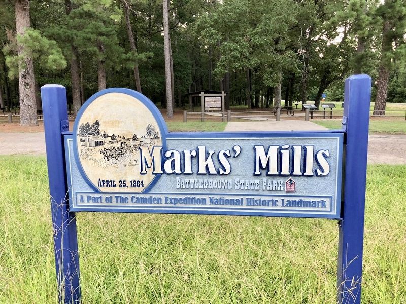
Regarding The Battle at Marks' Mill. Marks' Mills Battlefield is part of the Camden Expedition National Historic Landmark. Camden Expedition Sites consist of nine nationally significant historic places in southwest Arkansas where events of the Union army's disastrous Camden Expedition of 1864 occurred during the Civil War.
Credits. This page was last revised on August 8, 2018. It was originally submitted on August 8, 2018, by Mark Hilton of Montgomery, Alabama. This page has been viewed 403 times since then and 54 times this year. Photos: 1, 2, 3. submitted on August 8, 2018, by Mark Hilton of Montgomery, Alabama.


