Henderson in Henderson County, Kentucky — The American South (East South Central)
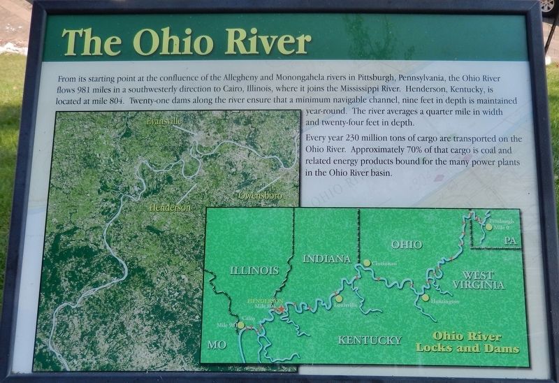
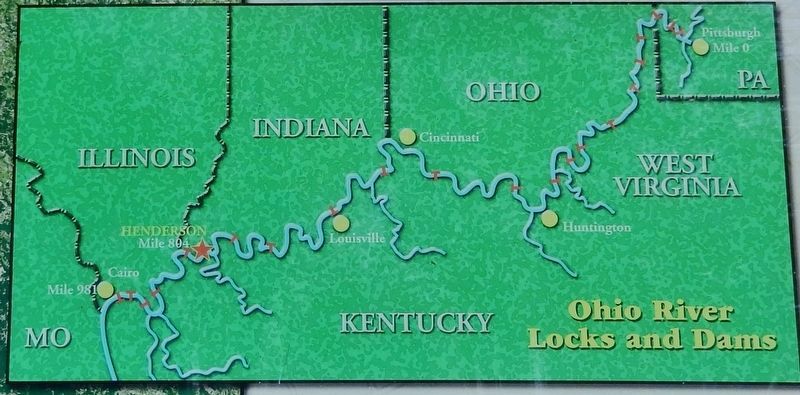
The Ohio River
Every year 230 million tons of cargo are transported on the Ohio River. Approximately 70% of that cargo is coal and related energy products bound for the many power plants in the Ohio River basin.
Topics. This historical marker is listed in these topic lists: Industry & Commerce • Waterways & Vessels.
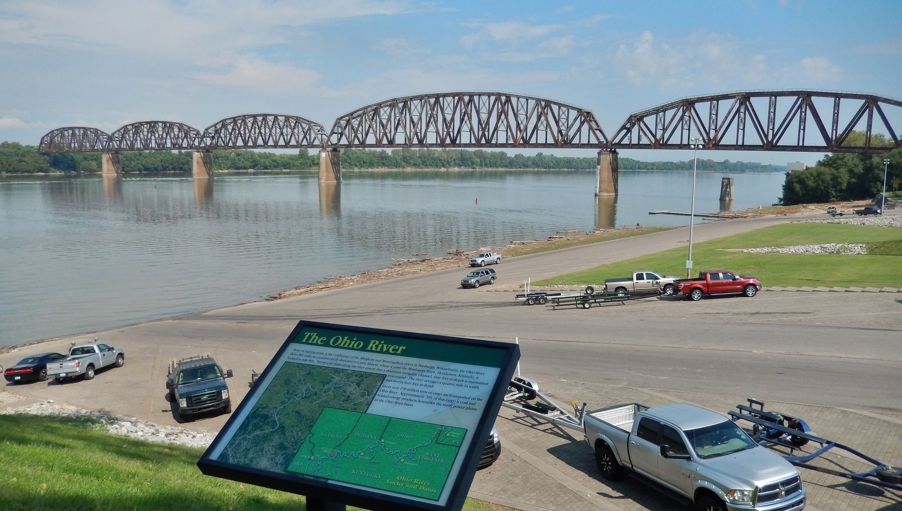
Location. 37° 50.48′ N, 87° 35.634′ W. Marker is in Henderson, Kentucky, in Henderson County. Marker can be reached from North Water Street south of 2nd Street, on the left when traveling north. Marker is located along the pedestrian walkway in Audubon Mill Park, near the north end of the park, overlooking the boat launch ramp and the Ohio River. Touch for map. Marker is at or near this postal address: 101 North Water Street, Henderson KY 42420, United States of America. Touch for directions.
Other nearby markers. At least 8 other markers are within walking distance of this marker. Audubon's Mill (a few steps from this marker); The 1937 Flood (a few steps from this marker); Good Government League (a few steps from this marker); Steamboats (within shouting distance of this marker); General "Stovepipe" Johnson (within shouting distance of this marker); Audubon Saw and Grist Mill (within shouting distance of this marker); John James Audubon in Henderson (within shouting distance of this marker); Husband Edward Kimmel (within shouting distance of this marker). Touch for a list and map of all markers in Henderson.
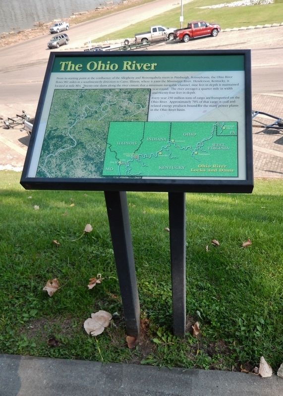
More about this marker. Marker is a large composite plaque, mounted horizontally on waist-high posts.
Also see . . . Ohio River History. in 1878, the U.S. Army Corps of Engineers began the first federally built lock and dam on the Ohio at Davis Island about five miles below the Point in Pittsburgh. This lock and dam was completed in 1885. The lock was 110 feet wide and 600 feet long and was the largest lock in the world at that time. The dam was composed of wooden bulkheads hinged on the river bottom which could be lowered when the river flow was high. Boats could then pass without using the lock. When the level of the river began to fall, however, the wooden wickets were raised to catch the water and create a pool behind the dam to maintain the level of the river for boats. These wicket dams were eventually built for the entire length of the Ohio River from Pittsburgh to Cairo, Illinois. The last one, Dam 53 at Cairo, was installed in 1929. It and Dam 52 are the only wicket dams remaining on the Ohio River. (Submitted on August 15, 2018, by Cosmos Mariner of Cape Canaveral, Florida.)
Credits. This page was last revised on October 30, 2020. It was originally submitted on August 14, 2018, by Cosmos Mariner of Cape Canaveral, Florida. This page has been viewed 382 times since then and 33 times this year. Photos: 1, 2, 3, 4. submitted on August 15, 2018, by Cosmos Mariner of Cape Canaveral, Florida. • Andrew Ruppenstein was the editor who published this page.


