Mimbres in Grant County, New Mexico — The American Mountains (Southwest)
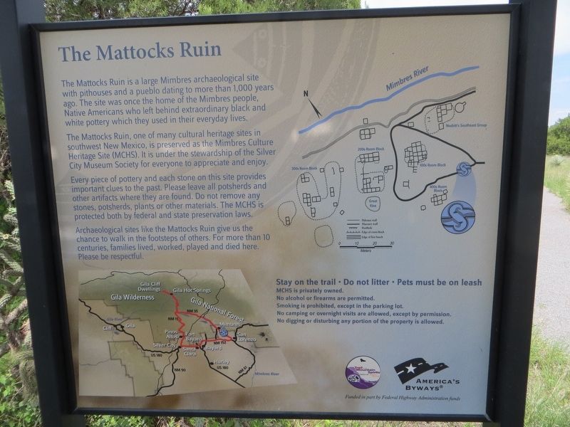
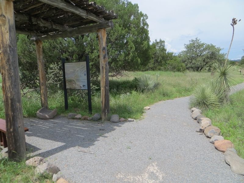
The Mattocks Ruin
The Mattocks Ruin, one of many cultural heritage sites in southwest New Mexico, is preserved as the Mimbres Culture Heritage Site (MCHS). It is under the stewardship of the Silver City Museum Society for everyone to appreciate and enjoy.
Every piece of pottery and each stone on this site provides important clues to the past. Please leave all potsherds and other artifacts where they are found. Do not remove any stones, potsherds, plants or other materials. The MCHS is protected both by federal and state preservation laws.
Archaeological sites like the Mattocks Ruin give us the chance to walk in the footsteps of others. For more than 10 centuries, families lived, worked, played and died here. Please be respectful.
Topics. This historical marker is listed in this topic list: Native Americans.
Location. 32° 50.562′ N, 107° 57.82′ W. Marker is in Mimbres, New Mexico, in Grant County. Marker is on Sage Drive, on the right when traveling north. Touch for map . Marker is in this post office area: Mimbres NM 88049, United States of America. Touch for directions.
Other nearby markers. At least 8 other markers are within 7 miles of this marker, measured as the crow flies. Mimbres Valley (approx. 3.4 miles away); The Discovery (approx. 6.8 miles away); The Early Mining Years (approx. 6.8 miles away); Open Pit Mining (approx. 6.8 miles away); Santa Rita Copper Mine (approx. 6.8 miles away); The Companies & People (approx. 6.8 miles away); Modern Mining & Processing (approx. 6.8 miles away); Reclaiming the Land (approx. 6.8 miles away).
Credits. This page was last revised on August 17, 2018. It was originally submitted on August 17, 2018, by Bill Kirchner of Tucson, Arizona. This page has been viewed 581 times since then and 107 times this year. Photos: 1, 2, 3. submitted on August 17, 2018, by Bill Kirchner of Tucson, Arizona.


