West Point in Hardin County, Kentucky — The American South (East South Central)
Founding of West Point/ James Young
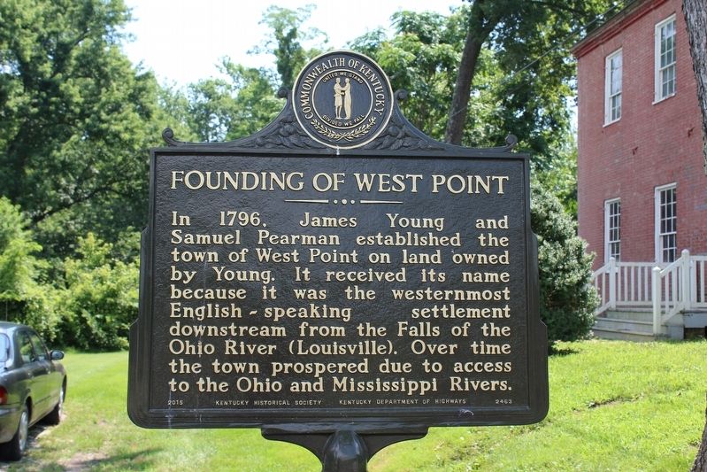
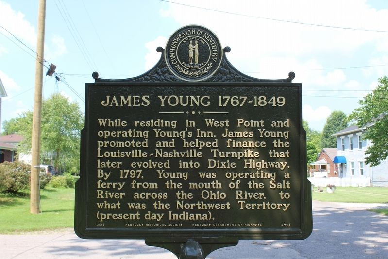
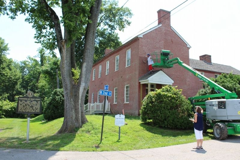
In 1796, James Young and Samuel Pearman established the town of West Point on land owned by Young. It received its name because it was the westernmost English-speaking settlement downstream from the Falls of the Ohio River (Louisville). Over time the town prospered due to access to the Ohio and Mississippi Rivers. (Reverse) James Young (1767-1849)- While residing in West Point and operating Young’s Inn, James Young promoted and helped finance the Louisville-Nashville Turnpike that later evolved into Dixie Highway. By 1797, Young was operating a ferry from the mouth of the Salt River across the Ohio River, to what was the Northwest Territory (present day Indiana).
Erected 2015 by Kentucky Historical Society & Kentucky Department of Highways. (Marker Number 2463.)
Topics and series. This historical marker is listed in these topic lists: Industry & Commerce • Roads & Vehicles • Settlements & Settlers. In addition, it is included in the Kentucky Historical Society series list. A significant historical year for this entry is 1796.
Location. 38° 0.041′ N, 85° 56.692′ W. Marker is in West Point, Kentucky, in Hardin County. Marker is at the intersection of Elm Street and North 2nd Street, on the right when traveling east on Elm Street. Touch for map. Marker is in this post office area: West Point KY 40177, United States of America. Touch for directions.
Other nearby markers. At least 8 other markers are within walking distance of this marker. James Young House (here, next to this marker); Young's Inn (a few steps from this marker); Sears and Roebuck (a few steps from this marker); Lewis and Clark in Kentucky / John Shields (1769-1809) (within shouting distance of this marker); Pioneer Cemetery (within shouting distance of this marker); Pearman's Settlement (within shouting distance of this marker); The Salt Warehouse (about 300 feet away, measured in a direct line); Fort Duffield (about 400 feet away). Touch for a list and map of all markers in West Point.
Also see . . .
1. History. City website entry (Submitted on August 19, 2018, by Tom Bosse of Jefferson City, Tennessee.)
2. The History of Hardin County. Hardin County History Museum website entry (Submitted on August 19, 2018, by Tom Bosse of Jefferson City, Tennessee.)
Credits. This page was last revised on February 24, 2024. It was originally submitted on August 19, 2018, by Tom Bosse of Jefferson City, Tennessee. This page has been viewed 588 times since then and 48 times this year. Photos: 1, 2, 3. submitted on August 19, 2018, by Tom Bosse of Jefferson City, Tennessee. • Andrew Ruppenstein was the editor who published this page.


