Near Rogers City in Presque Isle County, Michigan — The American Midwest (Great Lakes)
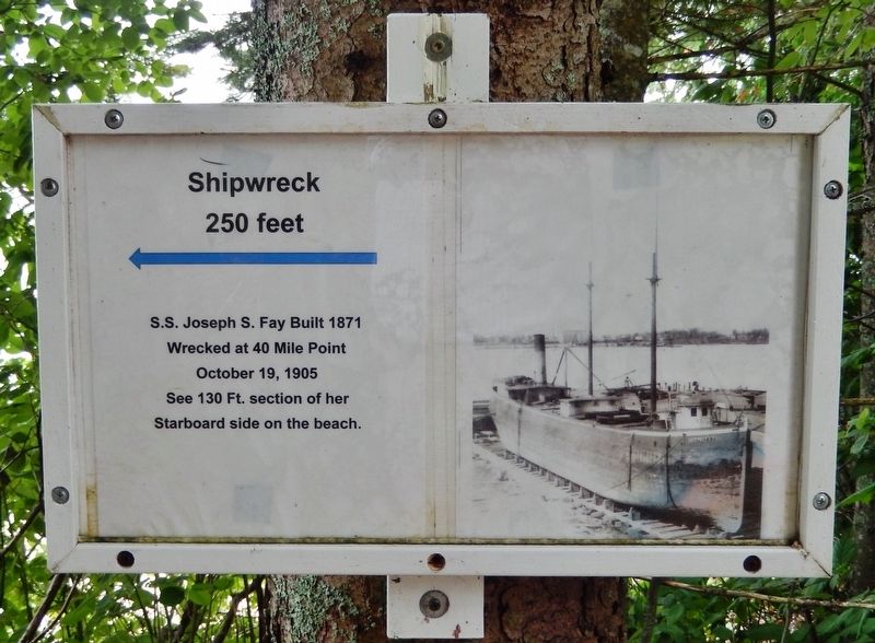
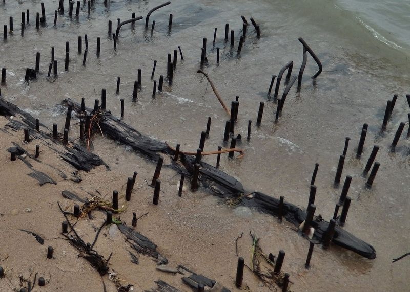
S.S. Joseph S. Fay Shipwreck
S.S. Joseph S. Fay Built 1871
Wrecked at 40 Mile Point
October 19, 1905
See 130 Ft. section of her
Starboard side on the beach.
Topics. This historical marker is listed in these topic lists: Disasters • Waterways & Vessels. A significant historical date for this entry is October 19, 1905.
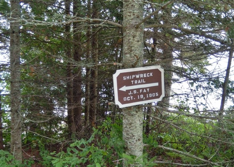
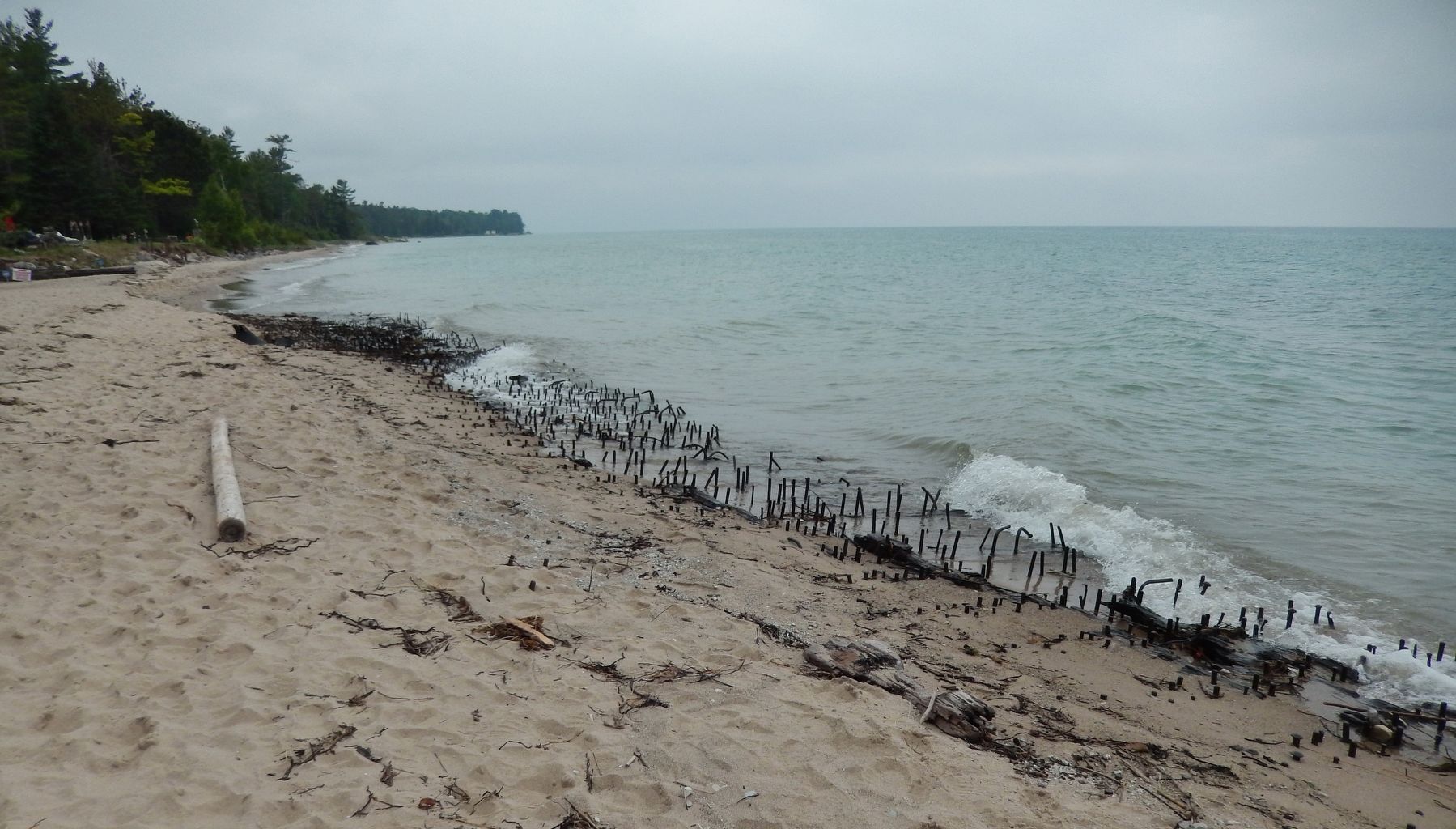
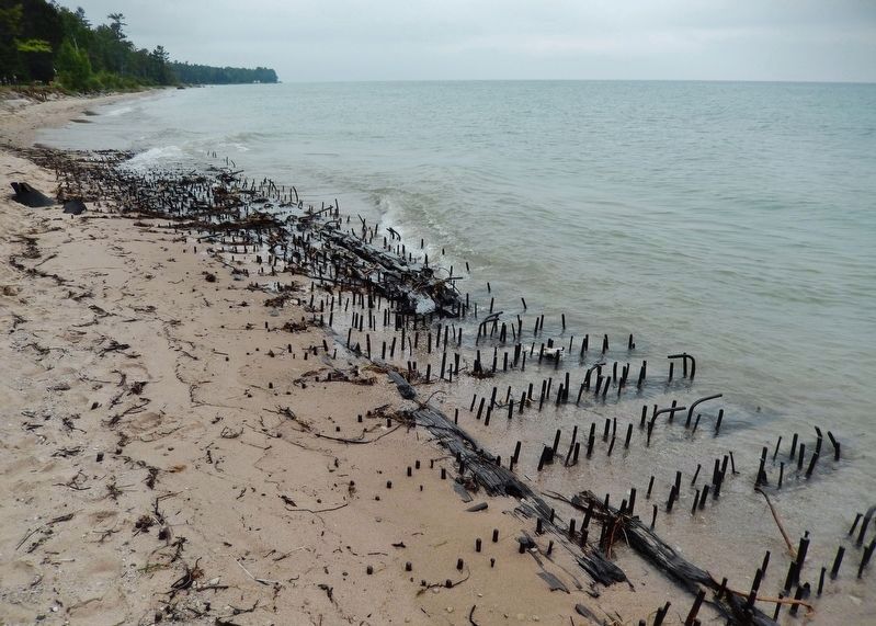
Location. 45° 29.191′ N, 83° 54.81′ W. Marker is near Rogers City, Michigan, in Presque Isle County. Marker can be reached from County Park Road, 0.2 miles north of U.S. 23 when traveling north. Marker is within Presque Isle County Lighthouse Park, near the cliff overlooking the beach. It is mounted at eye-level, on a tree, at the trailhead for short trail which leads down to the shipwreck ruins still visible (113 years later) on the beach. Touch for map. Marker is at or near this postal address: 7323 US Highway 23, Rogers City MI 49779, United States of America. Touch for directions.
Other nearby markers. At least 8 other markers are within 7 miles of this marker, measured as the crow flies. 40 Mile Point Lighthouse (within shouting distance of this marker); The Bunkhouse (within shouting distance of this marker); Forty Mile Point Lighthouse / Lake Huron Graveyard of Ships (within shouting distance of this marker); SS Calcite (about 300 feet away, measured in a direct line); International Shipmaster's Association (about 300 feet away); The Glawe School (about 800 feet away); Site of Frederick Denny Larke Home (approx. 6.4 miles away); Frederick Denny Larke General Store (approx. 6˝ miles away). Touch for a list and map of all markers in Rogers City.
Also see . . . S.S. Joseph S. Fay Shipwreck. On October 19, 1905, the wooden steamer Joseph S. Fay was downbound on Lake Huron with the schooner-barge D.P. Rhodes in tow. Both vessels were loaded with iron ore and were bucking heavy seas. When the ships rolled in opposite directions, the strain on the towline became too great, and the Rhodes broke free, taking a portion of the Fay’s stern with her. The captain of the Fay quickly turned the steamer landward, hoping to reach shore before sinking. When the Fay struck a sandbar, the forward portion of the vessel tore free and washed ashore with the captain and ten crewmen safely inside. The following account of the shipwreck was recorded in the keeper’s log at Forty Mile Point Lighthouse: “At 8:30 p.m. last night the steamer, J.S. Fay, came ashore here in a sinking condition. She soon broke up. Most of the crew came ashore on the Pilot House. Three men swam
ashore, the mate was drowned.” (Submitted on August 23, 2018, by Cosmos Mariner of Cape Canaveral, Florida.)
Additional keywords. S.S. Joseph S. Fay Shipwreck
Credits. This page was last revised on August 25, 2018. It was originally submitted on August 20, 2018, by Cosmos Mariner of Cape Canaveral, Florida. This page has been viewed 248 times since then and 31 times this year. Photos: 1. submitted on August 23, 2018, by Cosmos Mariner of Cape Canaveral, Florida. 2, 3, 4, 5. submitted on August 24, 2018, by Cosmos Mariner of Cape Canaveral, Florida. • Andrew Ruppenstein was the editor who published this page.
