Near Tevfikiye in Çanakkale Merkez, Çanakkale, Turkey — West Asia or Southeast Europe
The Northern Bastion
English Text:
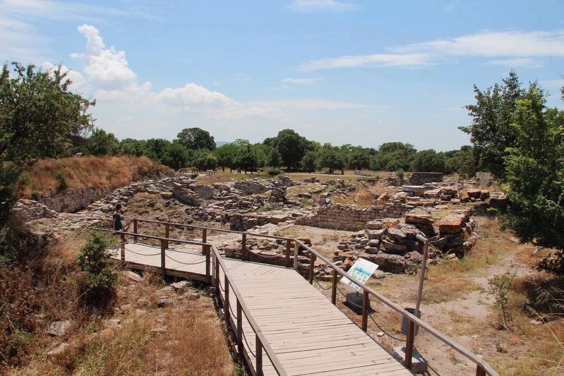
You are now standing on the remains of the foundations of an altar which belonged to the Greek and Roman temple of Athena (see Information-Sign 4). The remains of this temple had already been removed by stone-robbers when Schliemann began his excavations in 1871. Other limestone foundations were discovered at the same level. These derive from statues, altars and other small architectural features in the courtyard of the temple precinct, and some of their marble fittings have been found.
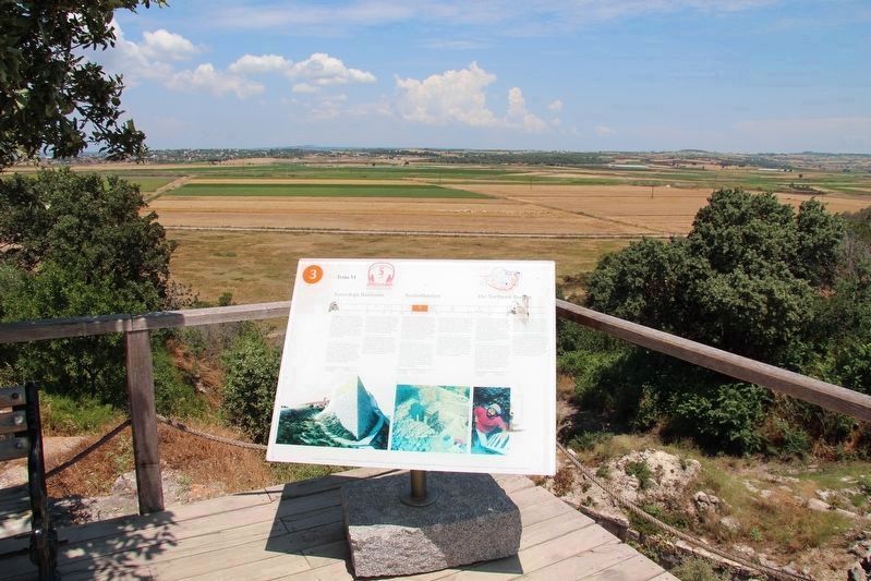
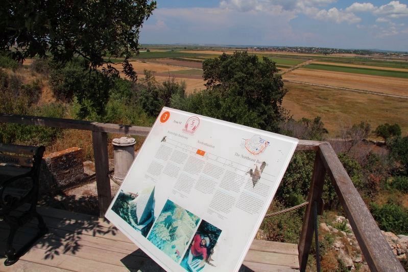
The Northeast Bastion (Toria VI)
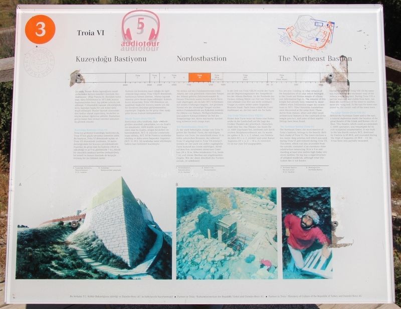
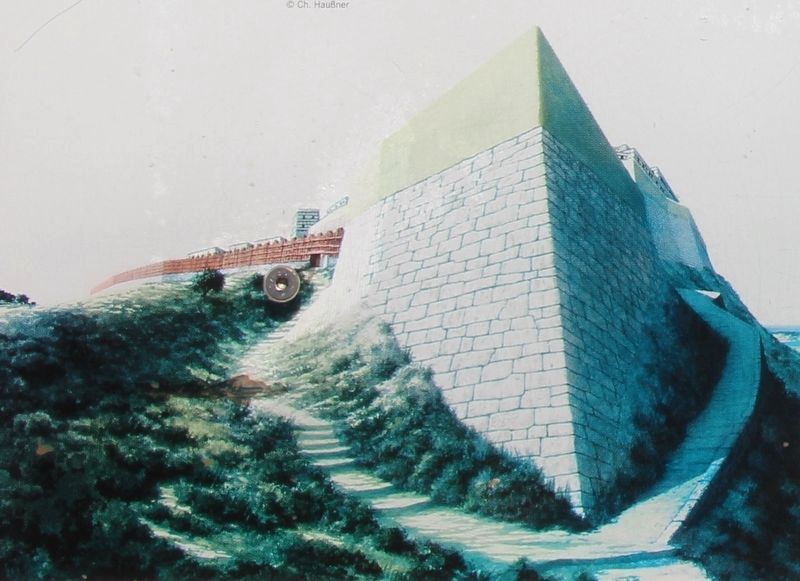
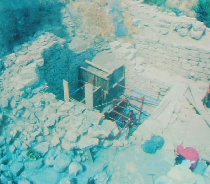
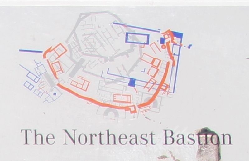
The Northeast Tower, the most massive of Toria's bastions, belongs to the heavily-fortified citadel of Toria VI. The tower encloses a ten-metre-deep artesian well which was sunk during Toria VI and restored during Toria VII. This tower, which was also accessible from the outside, consisted of an enormous stone substructure measuring 18 metres x 8 metres and standing at least nine metres high (today only seven metres). On top was a superstructure of unbaked mudbrick, although what this looked like is not known.
During the period of Troia VIII-IX the tower was built over by the enclosure-wall of the Athena temple precinct. During Troia VIII a narrow staircase, not visible from here, ran down the north face of the tower to another, more low-lying well. To the east the tower was joined by the circuit-wall of the lower town.
The Large Theatre (Troia VIII-IX)
Behind the Northeast Tower and to the east, a natural depression marks the location of the great theatre of the Greek and Roman city of Ilion. This theatre, which could accommodate c. 6000 spectators, was remarkable for its rich sculptural ornamentation. It was built in the late fourth century BCE, destroyed by Fimbria in 85 BCE, and renovated during the reign of Augustus (31 BCE-CE 14). It has been only partially excavated.
Erected by The Ministry of Culture of the Republik of Turkey, and the Daimler-Benz AG. (Marker Number 3.)
Topics. This historical marker is listed in these topic lists: Forts and Castles • Parks & Recreational Areas • Settlements & Settlers.
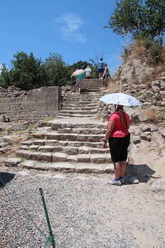
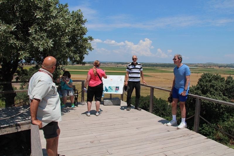
Location. 39° 57.471′ N, 26° 14.355′ E. Marker is near Tevfikiye, Çanakkale, in Çanakkale Merkez. Marker can be reached from Tevfikiye Yolu just west of Izmir Çanakkale Yolu (Highway E87) when traveling west. This marker is located on the grounds of a world famous Archaeological Park, along the tour route through the archaeological ruins. Touch for map. Marker is in this post office area: Tevfikiye, Çanakkale 17100, Turkey. Touch for directions.
Other nearby markers. At least 4 other markers are within walking distance of this
marker. The Temple of Athena (within shouting distance of this marker); Citadel Wall (within shouting distance of this marker); The East Wall (about 90 meters away, measured in a direct line); The Pithos Garden (about 120 meters away).
More about this marker. The present day Archaeological Site of Troy, where this marker is located, has been recognized as a UNESCO World Heritage Centre site.
The timeline at the top of this marker indicates that the information discussed in this marker's text features site ruins from the period of Troia (Troy) VI, which spanned 1700-1250 BC.
Also see . . .
1. Archaeological Site of Troy - UNESCO World Heritage Centre. This is a link to additional on-line information regarding this site. (Submitted on September 13, 2018, by Dale K. Benington of Toledo, Ohio.)
2. Troy - Wikipedia. This is a link to additional on-line information regarding this site. (Submitted on September 13, 2018, by Dale K. Benington of Toledo, Ohio.)
3. Archaeological Site of Troy, Unesco | Go Turkey Tourism. This is a link to additional on-line information regarding this site. (Submitted on September 13, 2018, by Dale K. Benington of Toledo, Ohio.)
4. Troy | Turkish Archaeological News. This is a link to additional on-line information regarding this site. (Submitted on September 13, 2018, by Dale K. Benington of Toledo, Ohio.)
Credits. This page was last revised on February 1, 2022. It was originally submitted on September 12, 2018, by Dale K. Benington of Toledo, Ohio. This page has been viewed 152 times since then and 7 times this year. Photos: 1, 2, 3, 4, 5, 6, 7, 8, 9. submitted on September 13, 2018, by Dale K. Benington of Toledo, Ohio.
