Sula in Ravalli County, Montana — The American West (Mountains)
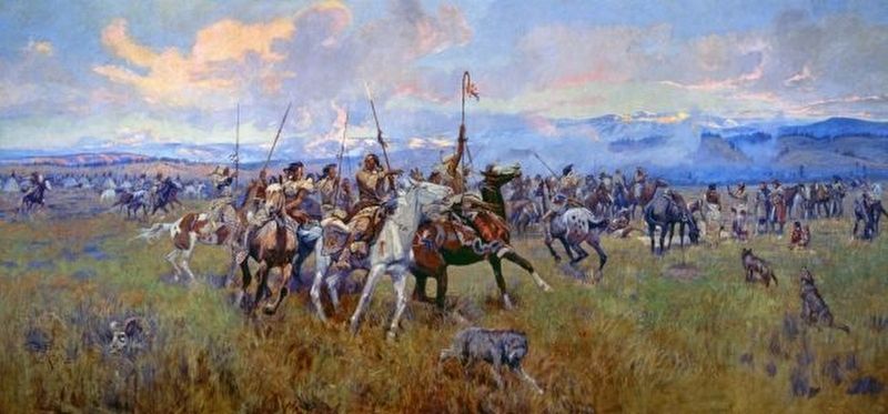
Lewis and Clark at Ross' Hole
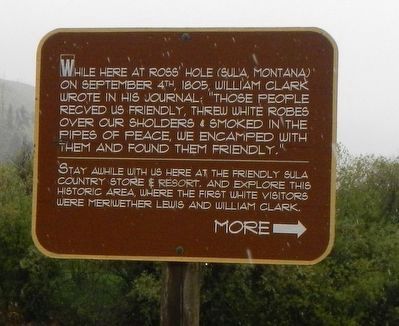
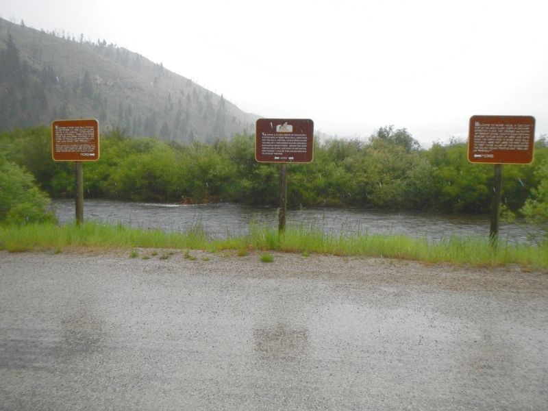
While here at Ross' Hole, (Sula, Montana) on September 4th, 1805, William Clark wrote in his journal: "Those people recved us friendly, threw white robes over our sholders & smoked in the pipes of peace, we encamped with them and found them friendly."
Stay awhile with use here at the friendly Sula Country Store & Resort, and explore this historic area, where the first white visitors were Meriwether Lewis and William Clark.
MORE --->
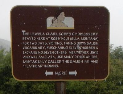
The Lewis & Clark Corps of Discovery stayed here at Ross' Hole (Sula, Montana) for two days, visiting, taking down Salish vocabulary, purchasing eleven horses & exchanging seven others. Meriwether Lewis and William Clark, like many other whites, mistakenly called the Salish Indians "Flathead" Indians.
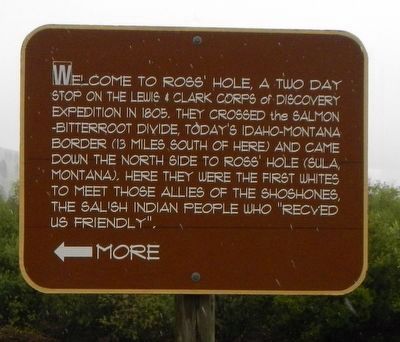
Welcome to Ross' Hole, a two-day stop of the Lewis & Clark Corps of Discovery Expedition in 1805. They crossed the Salmon-Bitterroot divide, today's Idaho-Montana border (13 miles south of here) and came down the north side to Ross' Hole (Sula, Montana). Here they were the first whites to meet those allies of the Shoshones, the Salish Indian people who "recved us friendly".
<--- MORE
Topics and series. This historical marker is listed in these topic lists: Exploration • Native Americans. In addition, it is included in the Lewis & Clark Expedition series list. A significant historical date for this entry is September 4, 1805.
Location. 45° 50.172′ N, 113° 58.86′ W. Marker is in Sula, Montana, in Ravalli County. Marker is on U.S. 93 near East Fork Road (State Highway 472), on the left when traveling south. Touch for map. Marker is at or near this postal address: 7002 US Highway 93, Sula MT 59871, United States of America. Touch for directions.
Other nearby markers. At least 8 other markers are within 10 miles of this marker, measured as the crow flies. Ross' Hole (a few steps from this marker); First Impressions (about 300 feet away, measured in a direct line); Survival (about 300 feet away); Mountains on the Move (about 300 feet away); The Great Clearing (about 400 feet away); Join the Voyage of Discovery (about 400 feet away); Big Horn Sheep Conservation (approx. 2.3 miles away); Salmon River Scenic Byway (approx. 10 miles away). Touch for a list and map of all markers in Sula.
Also see . . . Meeting the Salish at Ross Hole -- Discovering Lewis and Clark. Toward evening they arrived at a small, flat, grassy valley ringed by mountains—a rond or "hole," as trappers would call it—and encountered there a large encampment of Salish Indians. Sergeant Ordway noted in his journal that there were about 400 people, 40 lodges, and four or five hundred horses. (Submitted on September 21, 2018, by Barry Swackhamer of Brentwood, California.)
Credits. This page was last revised on September 21, 2018. It was originally submitted on September 21, 2018, by Barry Swackhamer of Brentwood, California. This page has been viewed 603 times since then and 46 times this year. Photos: 1, 2, 3, 4, 5. submitted on September 21, 2018, by Barry Swackhamer of Brentwood, California.
