Tintagel in Cornwall, England, United Kingdom — Northwestern Europe (the British Isles)
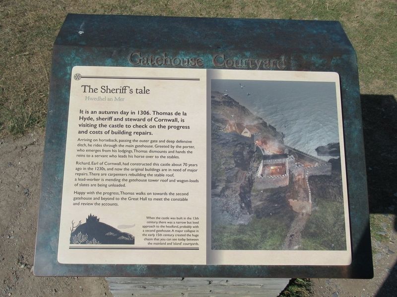
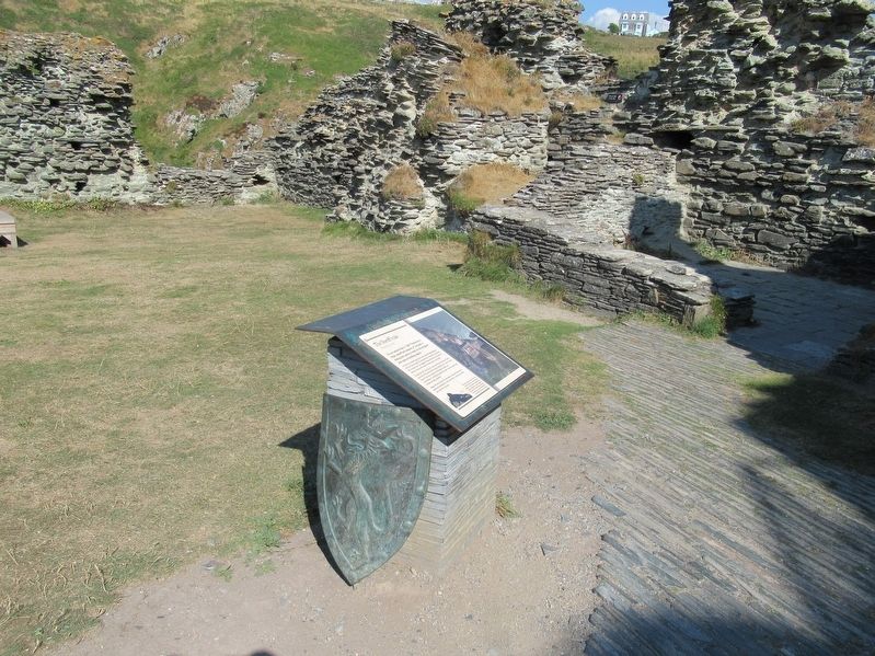
The Sheriff’s Tale
Hwedhel an Mer
It is an autumn day in 1306. Thomas de la Hyde, sheriff and steward of Cornwall, is visiting the castle to check on the progress and costs of building repairs.
Arriving on horseback, passing the outer gate and deep defensive ditch, he rides through the main gatehouse. Greeted by the porter, who emerges from his lodgings, Thomas dismounts and hands the reins to a servant who leads his horse over to the stables.
Richard, Earl of Cornwall, had constructed this castle about 70 years ago in the 1230s, and now the original buildings are in need of major repairs. There are carpenters rebuilding the stable roof, a lead-worker is mending the gatehouse tower roof and wagon-loads of slates are being unloaded.
Happy with the progress, Thomas walks on towards the second gatehouse and beyond to the Great Hall to meet the constable and review the accounts.
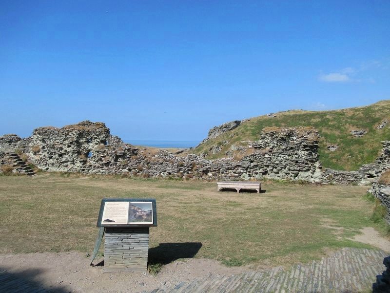
When the castle was built in the 13th century, there was a narrow but level approach to the headland, probably with a second gatehouse. A major collapse in the early 15th century created the huge chasm that you can see today between the mainland and 'island' courtyards.
Topics. This historical marker is listed in this topic list: Forts and Castles.
Location. 50° 40.041′ N, 4° 45.506′ W. Marker is in Tintagel, England, in Cornwall. Marker can be reached from Castle Road, 0.6 kilometers west of Atlantic Road, on the right when traveling west. Located at Tintagel Castle. Touch for map. Marker is in this post office area: Tintagel, England PL34 0HE, United Kingdom. Touch for directions.
Other nearby markers. At least 8 other markers are within walking distance of this marker. Upper Courtyard (a few steps from this marker); Where history meets legend (about 120 meters away, measured in a direct line); Florence’s shelter (about 120 meters away); The Haven (about 120 meters away); Prince Dafydd’s tale (about 120 meters away); A complicated ruin (about 150 meters away); Excavations and discoveries (about 150 meters away); The Trader’s tale (about 180 meters away). Touch for a list and map of all markers in Tintagel.
Also see . . .
1. English Heritage - Tintagel Castle. (Submitted on October 1, 2018, by Michael Herrick of Southbury, Connecticut.)
2. Tintagel Castle on Wikipedia. (Submitted on October 1, 2018, by Michael Herrick of Southbury, Connecticut.)
Credits. This page was last revised on January 27, 2022. It was originally submitted on October 1, 2018, by Michael Herrick of Southbury, Connecticut. This page has been viewed 195 times since then and 28 times this year. Photos: 1, 2, 3. submitted on October 1, 2018, by Michael Herrick of Southbury, Connecticut.


