Oxford in Oxfordshire, England, United Kingdom — Northwestern Europe (the British Isles)
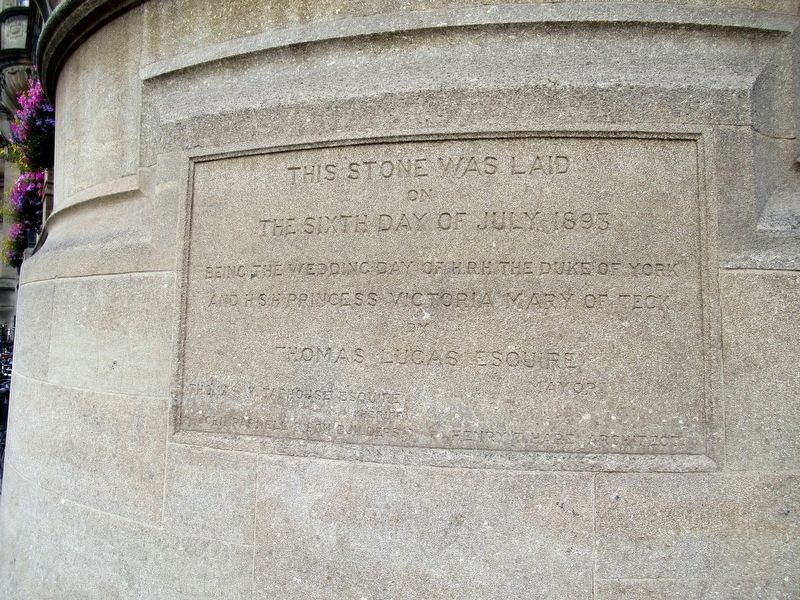
This Stone
on
The Sixth Day of July 1895
Being the Wedding Day of HRH The Duke of York
And HSH Prince Victoria Mary of Teck
by
Thomas Lucas Esquire Mayor
Thomas M. Taphouse Esquire Sheriff
John Paprell & Son Builders
Henry T. Hare Architect
Erected 1895.
Topics. This historical marker is listed in this topic list: Notable Events. A significant historical date for this entry is July 6, 1895.
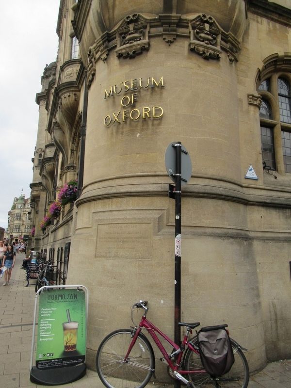
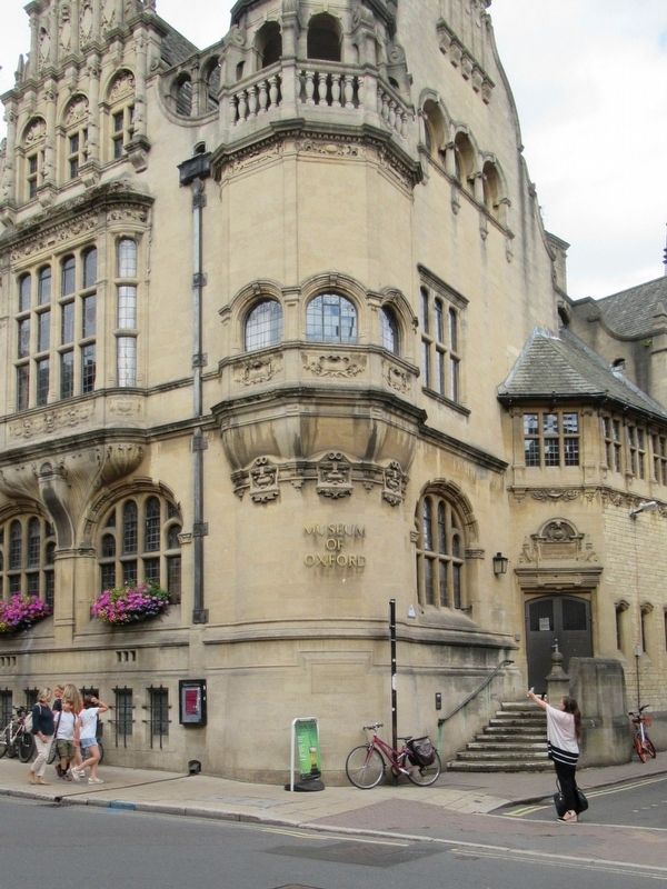
Location. 51° 45.076′ N, 1° 15.428′ W. Marker is in Oxford, England, in Oxfordshire. Marker is at the intersection of St Aldate's (England Route A420) and Blue Boar Street, on the right when traveling north on St Aldate's. Located on Oxford Town Hall, home to the Museum of Oxford. Touch for map. Marker is in this post office area: Oxford, England OX1 1BX, United Kingdom. Touch for directions.
Other nearby markers. At least 8 other markers are within walking distance of this marker. Great Jewry (here, next to this marker); Reredos Memorial (about 120 meters away, measured in a direct line); The Crown (about 150 meters away); George Claridge Druce (about 150 meters away); Cornmarket & Market St (about 180 meters away); The High Street (about 210 meters away); Tirah War Memorial (about 210 meters away); Christ Church & Its Meadow (approx. 0.2 kilometers away). Touch for a list and map of all markers in Oxford.
Credits. This page was last revised on January 27, 2022. It was originally submitted on October 8, 2018, by Michael Herrick of Southbury, Connecticut. This page has been viewed 112 times since then and 3 times this year. Photos: 1, 2, 3. submitted on October 8, 2018, by Michael Herrick of Southbury, Connecticut.


