Climax in Decatur County, Georgia — The American South (South Atlantic)
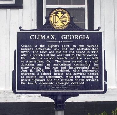
Climax, Georgia
Climax is the highest point on the railroad between Savannah, Ga., and the Chattahoochee River. The town was laid out and named in 1883 after a branch rail line was built to Chattahoochee, Fla. Later, a second branch rail line was built to Amsterdam, Ga. The town served as a rail junction and an agricultural community for many years, but was not incorporated until Aug. 11, 1905. It flourished, with businesses, churches, a school, hotels, and services needed to sustain the community. With the coming of paved highways and the cutback of rail services, the town's economic strength declined.
Erected 1986 by The Historic Chattahoochee Commission, The City of Climax and the Decatur County Commission.
Topics. This historical marker is listed in these topic lists: Agriculture • Railroads & Streetcars. A significant historical date for this entry is August 11, 1863.
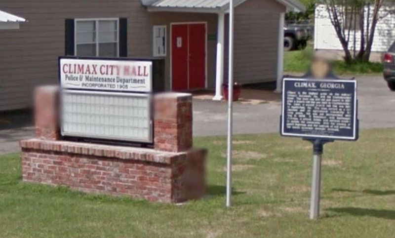
Location. 30° 52.571′ N, 84° 25.969′ W. Marker is in Climax, Georgia, in Decatur County. Marker is at the intersection of W Broad Street and Drane St, on the right when traveling east on W Broad Street. Marker is located at the Climax, GA, City Hall. Touch for map. Marker is in this post office area: Climax GA 39834, United States of America. Touch for directions.
Other nearby markers. At least 8 other markers are within 9 miles of this marker, measured as the crow flies. First Flint River Baptist Normal Institute / Union Normal School (approx. 7.8 miles away); Hutto School (approx. 7.9 miles away); Battle of 1702 (approx. 8.3 miles away); The Tonge Factory (approx. 8.4 miles away); a different marker also named Battle of 1702 (approx. 8.4 miles away); Camp Recovery (approx. 8.7 miles away); In Memory of Revolutionary Soldiers (approx. 8.7 miles away); El Camino Real (approx. 8.7 miles away).
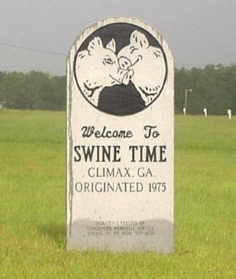
Regarding Climax, Georgia. The "kissing pigs", logo for Swine Time, are well known throughout Decatur County.
Credits. This page was last revised on June 6, 2020. It was originally submitted on July 26, 2008, by David Seibert of Sandy Springs, Georgia. This page has been viewed 3,488 times since then and 86 times this year. Last updated on October 14, 2018, by Ray King of Jacksonville, Florida. Photos: 1. submitted on July 26, 2008, by David Seibert of Sandy Springs, Georgia. 2. submitted on October 14, 2018, by Ray King of Jacksonville, Florida. 3, 4. submitted on July 26, 2008, by David Seibert of Sandy Springs, Georgia. • Bill Pfingsten was the editor who published this page.


