Milford in Oakland County, Michigan — The American Midwest (Great Lakes)
A Ford Village Industry
Along Pettibone Creek
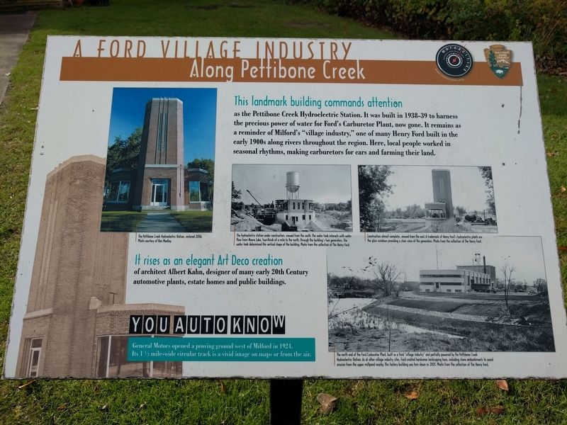
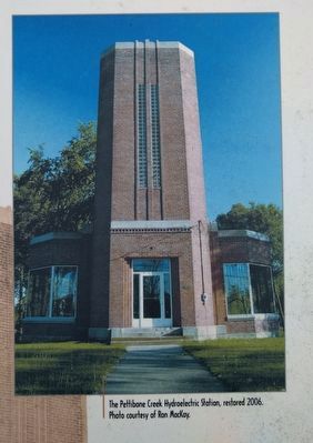
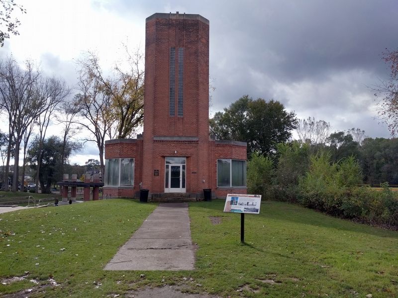
This landmark building commands attention
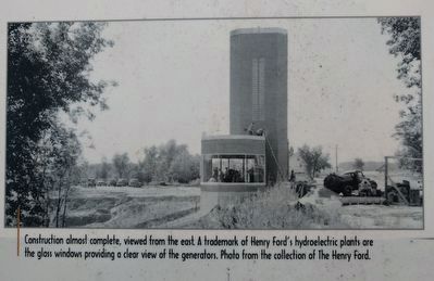
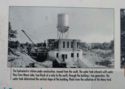
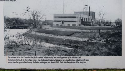
as the Pettibone Creek Hydroelectric Station. It was built in 1938-39 to harness the precious power of water for Ford's Carburetor Plant, now gone. It remains as a reminder of Milford's "village industry," one of many Henry Ford built in the early 1900s along rivers throughout the region. Here, local people worked in seasonal rhythms, making carburetors for cars and farming their land.
It rises as an elegant Art Deco creation
of architect Albert Kahn, designer of many early 20th Century automotive plants, estate homes and public buildings.
You Auto Know
General Motors opened a proving ground west of Milford in 1924. Its 1 ½ mile-wide circular track is a vivid image on maps or from the air.
Erected by MotorCities National Heritage Area, National Park Service.
Topics and series. This historical marker is listed in these topic lists: Architecture • Industry & Commerce. In addition, it is included in the Art Deco, and the MotorCities National Heritage Area series lists. A significant historical year for this entry is 1924.
Location. 42° 35.359′ N, 83° 36.158′ W. Marker is in Milford, Michigan, in Oakland County. Marker is on West Liberty Street, 0.1 miles east of Cabinet Street, on the right when traveling east. Marker is at the north end of Central Park. Touch for map. Marker is in this post office area: Milford MI 48381, United States of America. Touch for directions.
Other nearby markers. At least 8 other markers are within walking distance of this marker. Pettibone Creek Hydroelectric Station (a few steps from this marker); Phelps Saw Mill and Distillery (a few steps from this marker); Milford's Water Works Building (about 700 feet away, measured in a direct line); Motley Lights (about 800 feet away); Arthur's Park (approx. 0.2 miles away); Wells Brothers Foundry (approx. 0.2 miles away); Milford Rural Agricultural School (approx. 0.2 miles away); Wood-Hubbell House (approx. ¼ mile away). Touch for a list and map of all markers in Milford.
Also see . . . Pettybone Creek Hydroelectric Station. Website devoted to the restoration of the hydroelectric station as well as to the history of both the hydroelectric station and carburetor factory in Milford. (Submitted on October 23, 2018, by Joel Seewald of Madison Heights, Michigan.)
Photographed By Joel Seewald, October 20, 2018
3. Middle Image
The hydroelectric station under construction, viewed from the south. The water tank interacts with water flow from Moore Lake, two-thirds of a mile to the north, through the building's two generators. The water tank determined the vertical shape of the building. Photo from the collection of The Henry Ford.
Photographed By Joel Seewald, October 20, 2018
5. Lower Right Image
The north end of the Ford Carburetor Plant, built as a Ford "village industry" and partially powered by the Pettibone Creek Hydroelectric Station. As at other village industry sites, Ford created handsome landscaping here, including stone embankments to avoid erosion from the upper millpond nearby. This factory building was torn down in 2001. Photo from the collection of The Henry Ford.
Credits. This page was last revised on February 12, 2023. It was originally submitted on October 23, 2018, by Joel Seewald of Madison Heights, Michigan. This page has been viewed 296 times since then and 23 times this year. Photos: 1, 2, 3, 4, 5, 6. submitted on October 23, 2018, by Joel Seewald of Madison Heights, Michigan.
