Marker Logo HMdb.org THE HISTORICAL
MARKER DATABASE
“Bite-Size Bits of Local, National, and Global History”
South Montebello in Bell Gardens in Los Angeles County, California — The American West (Pacific Coastal)
 

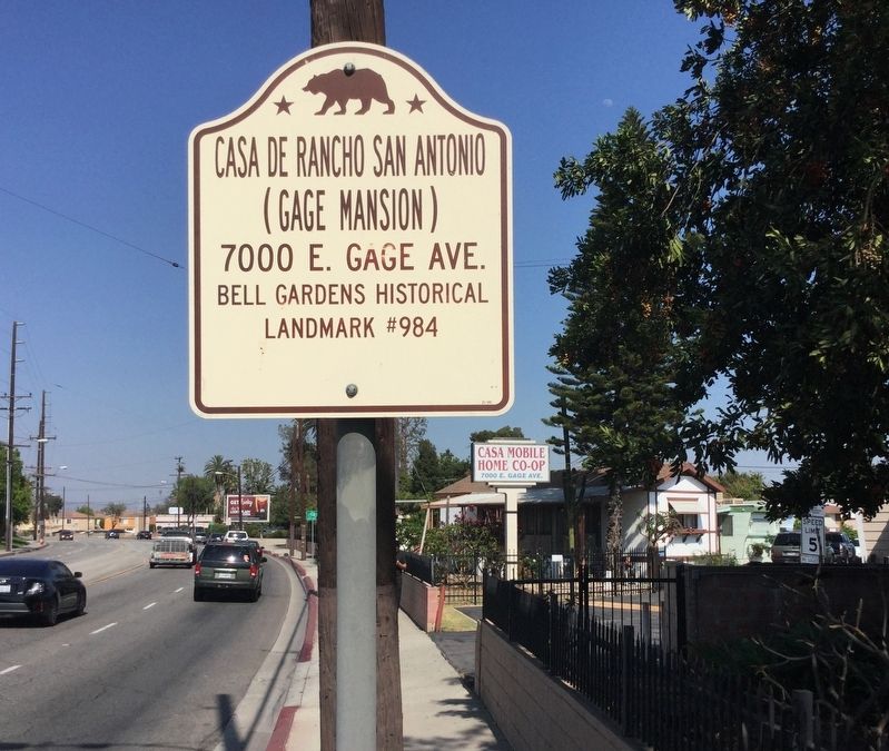
Casa de Rancho San Antonio

Henry Gage Mansion


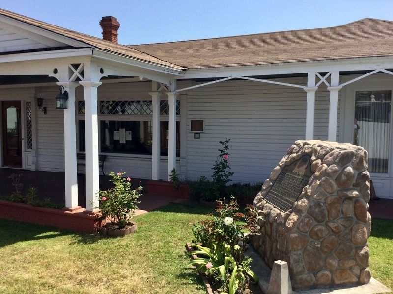
Casa de Rancho San Antonio Marker image. Click for full size.
Photographed By Craig Baker, June 21, 2018
1. Casa de Rancho San Antonio Marker
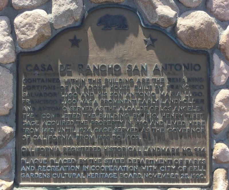
Inscription. Contained within this building are the remaining portions of an adobe house built by Francisco Salvador Lugo and his son Antonio María Lugo. Francisco Lugo was a prominent early landholder and Antonio served as the Alcalde of Los Angeles. They completed the building by 1810. Henry Tifft Gage acquired the property in 1880 and lived here from 1883 until 1924. Gage served as the Governor of California from 1899 to 1903.
 
Erected 1990 by California State Parks, and City of Bell Gardens. (Marker Number 984.)
 
Topics and series. This historical marker is listed in these topic lists: ArchitectureHispanic AmericansSettlements & Settlers. In addition, it is included in the California Historical Landmarks, and the Native Sons/Daughters of the Golden West series lists.
 
Location. 33° 58.321′ N, 118° 8.07′ W. Marker is in Bell Gardens, California, in Los Angeles County. It is in South Montebello. Marker can be reached from East Gage Avenue, 0.7 miles west of U.S. 5. Located inside Casa Mobile Home park. Touch for map. Marker is at or near this postal address: 7000 E Gage Ave, Bell Gardens CA 90201, United States of America. Touch for directions.
 
Other nearby markers. At least 8 other markers are within 5 miles of this marker, measured as the crow flies. Bob’s Big Boy (approx. 1.8 miles away);
Paid Advertisement
Click on the ad for more information.
Please report objectionable advertising to the Editor.
Click or scan to see
this page online
First Baptist Church of Rivera (approx. 1.9 miles away); Battle of the Rio San Gabriel (approx. 1.9 miles away); The Speedee McDonald's Store (approx. 2 miles away); Apollo Boilerplate 12 (approx. 3.6 miles away); Casa de Governor Pío Pico (approx. 4 miles away); Hathaway Ranch (approx. 4 miles away); Juan Matias Sanchez Adobe (approx. 4.6 miles away).
 
Regarding Casa de Rancho San Antonio. The original parts of the house were built in 1795 making it the oldest residence in Los Angeles County.
 
Casa de Rancho San Antonio Marker image. Click for full size.
Photographed By Craig Baker, June 21, 2018
2. Casa de Rancho San Antonio Marker
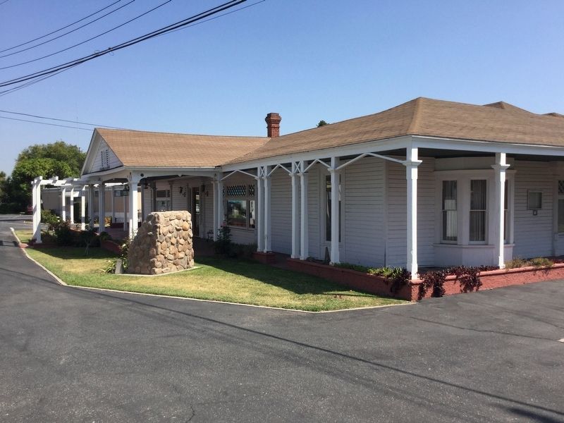
Casa de Rancho San Antonio image. Click for full size.
Photographed By Craig Baker, June 21, 2018
3. Casa de Rancho San Antonio
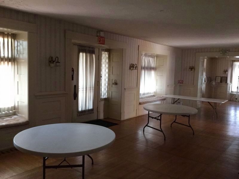
Inside the Adobe image. Click for full size.
Photographed By Craig Baker, June 21, 2018
4. Inside the Adobe
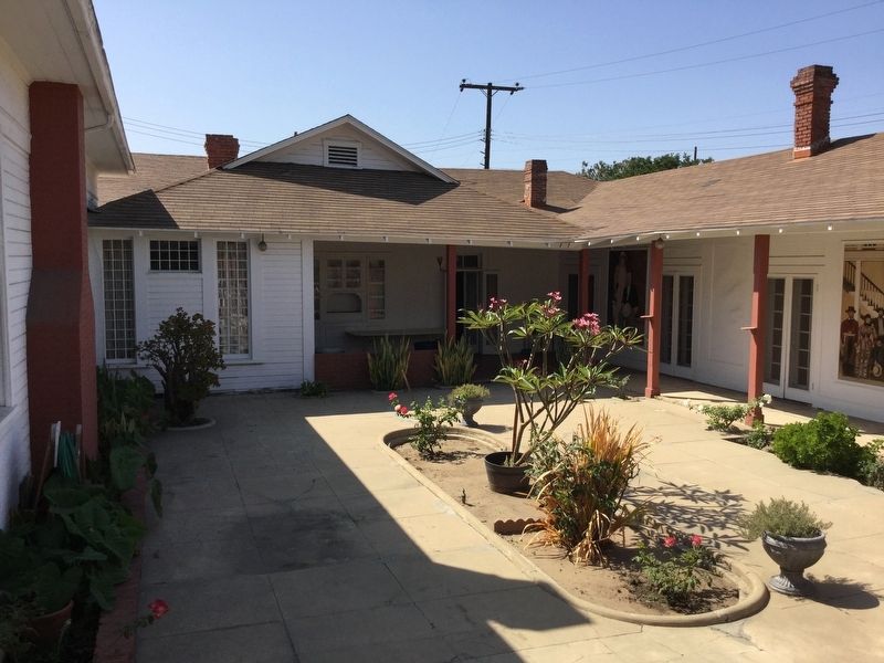
Courtyard image. Click for full size.
Photographed By Craig Baker, June 21, 2018
5. Courtyard
Casa Mobile Home Park Entrance image. Click for full size.
Photographed By Craig Baker, June 21, 2018
6. Casa Mobile Home Park Entrance
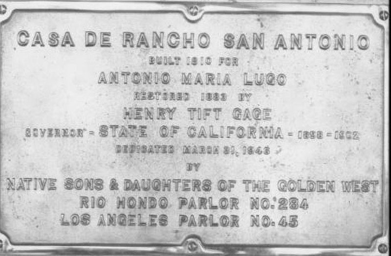
Additional Casa de Rancho San Antonio Marker from 1946 by NDGW/NSGW image. Click for full size.
Courtesy University of Southern California Libraries and California Historical Society
7. Additional Casa de Rancho San Antonio Marker from 1946 by NDGW/NSGW
 
 
Credits. This page was last revised on February 27, 2023. It was originally submitted on June 23, 2018, by Craig Baker of Sylmar, California. This page has been viewed 832 times since then and 58 times this year. Last updated on October 28, 2018, by Craig Baker of Sylmar, California. Photos:   1, 2, 3, 4, 5, 6. submitted on June 23, 2018, by Craig Baker of Sylmar, California.   7. submitted on June 26, 2018. • Andrew Ruppenstein was the editor who published this page.
Share this page.  
Share on Tumblr
m=125567

CeraNet Cloud Computing sponsors the Historical Marker Database.
This website earns income from purchases you make after using our links to Amazon.com. We appreciate your support.
Paid Advertisement
Apr. 25, 2024