Victor in Ontario County, New York — The American Northeast (Mid-Atlantic)
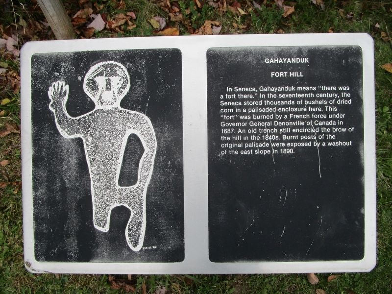
Gahayanduk Fort Hill
Fort Hill
In Seneca, Gahayanduk means "there was a fort there." In the seventeenth century, the Seneca stored thousands of bushels of dried corn in a palisaded enclosure here. This "fort" was burned by a French force under Governor General Denonville of Canada in 1687. An old trench still encircled the brow of the hill in the 1840s. Burnt posts of the original palisade were exposed by a washout of the east slope in 1890.
Topics. This historical marker is listed in these topic lists: Forts and Castles • Native Americans. A significant historical year for this entry is 1687.
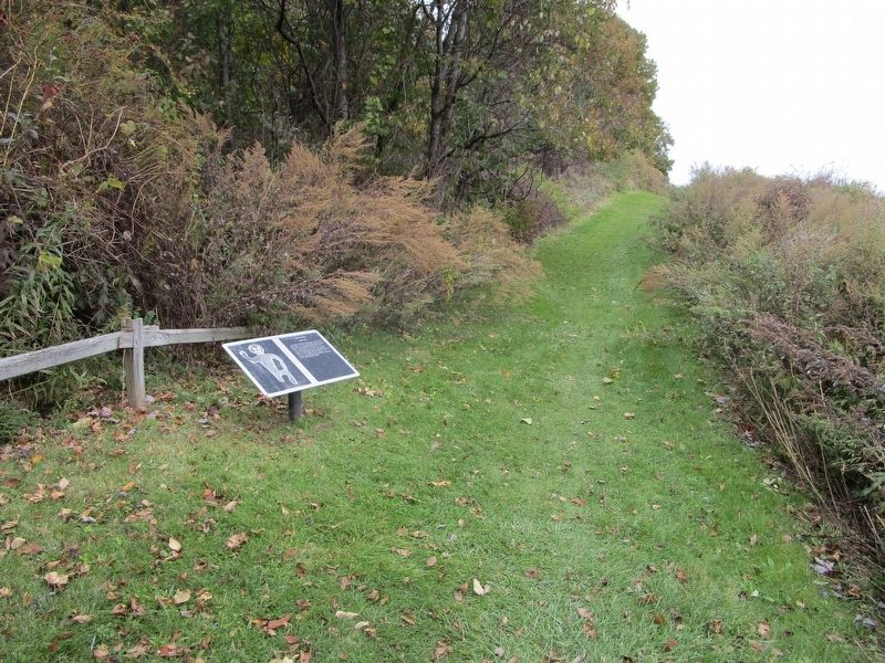
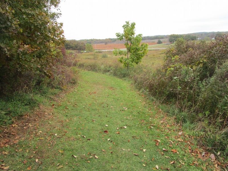
Location. 42° 57.734′ N, 77° 25.961′ W. Marker is in Victor, New York, in Ontario County. Marker can be reached from the intersection of Boughton Hill Road (County Route 41) and Murray Lane. From the parking area, the marker is by the junction of the service road (Sr) and the Granary Trail (GR) where the latter ascends the hill. Touch for map. Marker is in this post office area: Victor NY 14564, United States of America. Touch for directions.
Other nearby markers. At least 8 other markers are within walking distance of this marker. Gannagaro (about 300 feet away, measured in a direct line); Onondowahgah (about 400 feet away); Gannongarae (about 400 feet away); Nundawahonoga (about 700 feet away); Gahayanduk (about 800 feet away); Gannondata (about 800 feet away); The War on Corn (approx. 0.2 miles away); Totiakton (approx. 0.2 miles away). Touch for a list and map of all markers in Victor.
Also see . . . Ganondagan State Historic Site. New York State Parks, Recreation and Historic Preservation website entry (Submitted on July 15, 2023, by Larry Gertner of New York, New York.)
Credits. This page was last revised on July 15, 2023. It was originally submitted on October 28, 2018, by Anton Schwarzmueller of Wilson, New York. This page has been viewed 266 times since then and 39 times this year. Photos: 1, 2, 3. submitted on October 28, 2018, by Anton Schwarzmueller of Wilson, New York.


