Victor in Ontario County, New York — The American Northeast (Mid-Atlantic)
Nundawahonoga
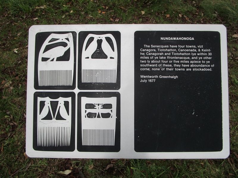
The Senecques have four towns, vizt Canagora, Tiotohatton, Canoenada, & Keint-he; Canagorah and Tiotohattan lye within 30 mile of the lake ffontenacque, and ye other two ly about four or five mile apiece to ye southward of these, they have aboundance of corne; none of their towns are stockadoed.
Wentworth Greenhalgh
July 1677
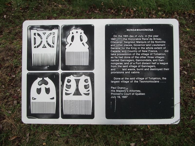
On the 19th day of July, in the year 1687...the Honorable Rene de Brisay, Chevalier, Seigneur Marquis of De Nonville and other places, Governor and Lieutenant General for the King in the whole extent of Canada, and Country of New France, ...did take possession of the village of Totiakton, as he had done of the other three villages named Gannagaro, Gannondata, and Gannongarae, and of a Fort distant half a league from the said village of Gannagaro, and ...laid waste, burnt and destroyed their provisions and cabins....
Done at the said village of Totiakton, the largest village of the Tsonnontouans….
Paul Dupuy,
His Majesty's Attorney,
Provost's Court of Quebec
July 19, 1687
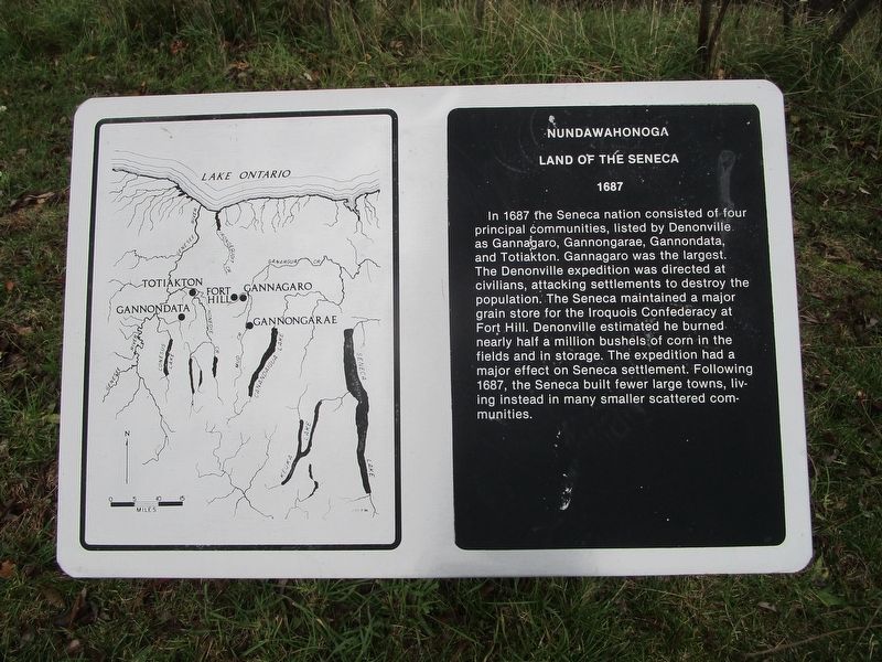
Land of the Seneca
1687
In 1687 the Seneca nation consisted of four principal communities, listed by Denonville as Gannagaro, Gannongarae, Gannondata, and Totiakton. Gannongarae was the largest. The Denonville expedition was directed at civilians, attacking settlements to destroy the population. The Seneca maintained a major grain store for the Iroquois Confederacy at Fort Hill. Denonville estimated he burned nearly half a million bushels of corn in the fields and in storage. The expedition had a major effect on Seneca settlement. Following 1687, the Seneca built fewer large towns, living instead in many smaller scattered communities.
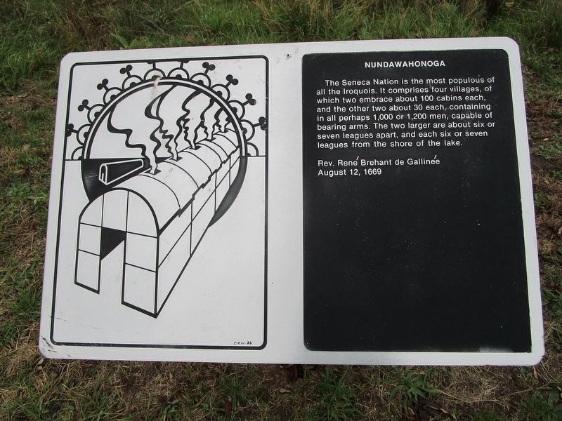
The Seneca Nation is the most populous of all the Iroquois. It comprises four villages, of which two embrace about 100 cabins each, and the other two about 30 each, containing in all perhaps 1,000 or 2,000 men, capable of bearing arms. The two larger are about six or seven leagues apart, and each six or seven leagues from the shore of the lake.
Rev. Rene Brehant de Gallinee
August 12, 1669
Topics. This historical marker is listed in this topic list: Native Americans. A significant historical month for this entry is July 1677.
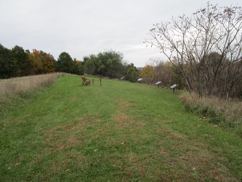
Location. 42° 57.799′ N, 77° 26.082′ W. Marker is in Victor, New York, in Ontario County. Marker can be reached from the intersection of Boughton Hill Road (County Route 41) and Murray Lane. This series of markers, with others, is on Fort Hill in the Ganondagan New York State Historic Site. From the parking area at the intersection, hike west on the service road which ascends the west side of the hill. Touch for map. Marker is in this post office area: Victor NY 14564, United States of America. Touch for directions.
Other nearby markers. At least 8 other markers are within walking distance of this marker. Gannondata (within shouting distance of this marker); Gannongarae (within shouting distance of this marker); Onondowahgah (about 300 feet away, measured in a direct line); Totiakton (about 300 feet away); The War on Corn (about 300 feet away); Gannagaro (about 300 feet away); Gahayanduk (about 400 feet away); Gahayanduk Fort Hill (about 700 feet away). Touch for a list and map of all markers in Victor.
Also see . . . Ganondagan State Historic Site. New York State Parks, Recreation and Historic Preservation website entry (Submitted on July 15, 2023, by Larry Gertner of New York, New York.)
Credits. This page was last revised on July 15, 2023. It was originally submitted on October 28, 2018, by Anton Schwarzmueller of Wilson, New York. This page has been viewed 341 times since then and 56 times this year. Photos: 1, 2, 3, 4, 5. submitted on October 28, 2018, by Anton Schwarzmueller of Wilson, New York.
