Near Midville in Burke County, Georgia — The American South (South Atlantic)
The Savannah Road
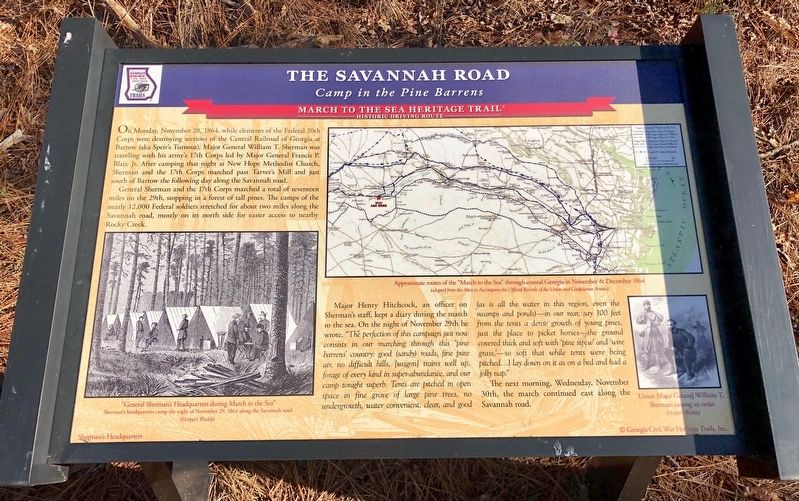
Camp in the Pine Barrens
— March to the Sea Heritage Trail —
General Sherman and the 17th Corps marched a total of seventeen miles on the 29th, stopping in a forest of tall pines. The camps of the nearly 12,000 Federal soldiers stretched for about two miles along the Savannah road, mostly on its north side for easier access to nearby Rocky Creek.
Major Henry Hitchcock, an officer on Sherman's staff, kept a diary during the march to the sea. On the night of November 29th he wrote, "The perfection of this campaign just now consists in our marching through this 'pine barrens' country: good (sandy) roads, fine pure air, no difficult hills, [wagon] trains well up, forage of every kind in super-abundance, and our camp tonight superb. Tents are pitched in open space in fine grove of large pine trees, no undergrowth, water convenient, clear, and good (as is all the water in this region, even the swamps and ponds)-in our rear, say 100 feet from the tents a dense growth of young pines, just the place to picket horses the ground covered thick and soft with pine stew' and 'wire grass,--so soft that while tents were being pitched...I lay down on it as on a bed and had a jolly nap."
The next morning, Wednesday, November 30th, the march continued east along the Savannah road.
[Photo captions]
Background: Sherman's Headquarters
Left bottom: "General Sherman's during March to the Sea" Sherman's headquarters camp the night of November 29, 1864 along the Savannah road
Right top: Approximate routes of the "March to the Sea" through coastal Georgia in November & December 1864
Right bottom: Union Major General William T. Sherman issuing an order
Erected 2018 by Georgia Civil War Heritage Trails, Inc. (Marker Number R17.)
Topics and series. This historical marker is listed in this topic list: War, US Civil. In addition, it is included in the Georgia Civil War Trails, and the Sherman’s March to the Sea series lists. A significant historical date for this entry is November 28, 1864.
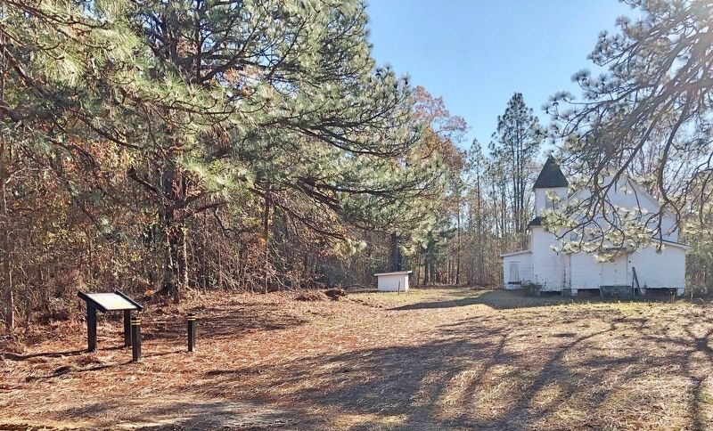
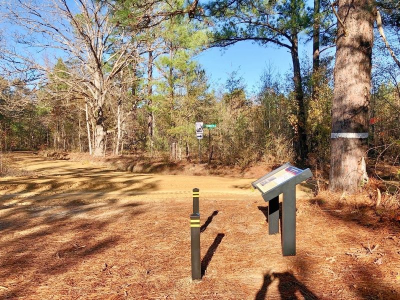
Location. 32° 47.848′ N, 82° 19.952′ W. Marker is near Midville, Georgia, in Burke County. Marker is at the intersection of Old Savannah Road and Noah Ark Circle, on the right when traveling south on Old Savannah Road. Located at Noah Ark Church. Touch for map. Marker is at or near this postal address: Old Savannah Road, Midville GA 30441, United States of America. Touch for directions.
Other nearby markers. At least 8 other markers are within 10 miles of this marker, measured as the crow flies. Pine Barren Crossroads (approx. 5.2 miles away); Summerville (approx. 5.2 miles away); Sherman at Midville (approx. 5.9 miles away); The 20th Corps (approx. 6.4 miles away); Old Town Plantation (approx. 8.2 miles away); General Wood's Fort (approx. 8.6 miles away); Bark Camp Church (approx. 9.4 miles away); Old Savannah Road (approx. 9.6 miles away). Touch for a list and map of all markers in Midville.
Credits. This page was last revised on December 7, 2018. It was originally submitted on December 7, 2018, by Mark Hilton of Montgomery, Alabama. This page has been viewed 344 times since then and 20 times this year. Photos: 1, 2, 3. submitted on December 7, 2018, by Mark Hilton of Montgomery, Alabama.


