Farmington in Hartford County, Connecticut — The American Northeast (New England)
Unionville Feeder Canal
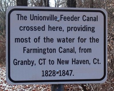
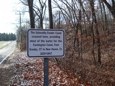
The Unionville Feeder Canal crossed here, providing most of the water for the Farmington Canal, from Granby, CT to New Haven, CT 1828-1847.
Erected by Farmington Public Works.
Topics. This historical marker is listed in this topic list: Waterways & Vessels. A significant historical year for this entry is 1828.
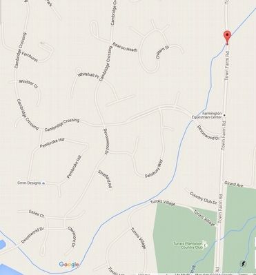
Location. Marker is missing. It was located near 41° 45.183′ N, 72° 49.667′ W. Marker was in Farmington, Connecticut, in Hartford County. Marker was on Town Farm Road, on the right when traveling south. Touch for map. Marker was at or near this postal address: 162 Town Farm Road, Farmington CT 06032, United States of America. Touch for directions.
Other nearby markers. At least 8 other markers are within 2 miles of this location, measured as the crow flies. Canal Junction (approx. 0.3 miles away); The Farmington Aqueduct (approx. 0.4 miles away); The Farmington Canal (approx. half a mile away); Canal Aqueduct (approx. half a mile away); Farmington (approx. 1.3 miles away); Birthplace of Wilford Woodruff (approx. 1.4 miles away); Lest We Forget (approx. 1.9 miles away); Farmington Veterans Memorial (approx. 2.1 miles away). Touch for a list and map of all markers in Farmington.
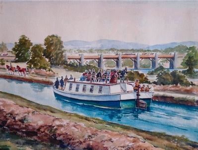
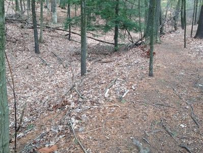
Regarding Unionville Feeder Canal. This 3 mile long canal began at a dam across the Farmington River located downstream from the center of Unionville, near the Farmington Town Hall. It was built to the same dimensions as the Farmington Canal which enabled Unionville to import raw materials and export finished goods from the seaport of New Haven to the Connecticut River in central Massachusetts. Unionville also had water power. The combination of modern transportation and energy made Unionville grow into the industrial center of Farmington.
Also see . . . Farmington Feeder Canal Dam Rediscovered. YouTube video (Submitted on January 10, 2016, by Alan M. Perrie of Unionville, Connecticut.)
Photographed By Alan M. Perrie, January 8, 2016
5. Farmington Canal (New Haven and Northampton Canal)
National Register of Historic Places Nomination
1.5 miles of the Feeder Canal can still be found today - look where the thin blue line crosses a road.
Click for more information.
1.5 miles of the Feeder Canal can still be found today - look where the thin blue line crosses a road.
Click for more information.
Credits. This page was last revised on January 16, 2022. It was originally submitted on January 10, 2016, by Alan M. Perrie of Unionville, Connecticut. This page has been viewed 799 times since then and 41 times this year. Last updated on December 15, 2018, by Alan M. Perrie of Unionville, Connecticut. Photos: 1, 2, 3, 4, 5. submitted on January 10, 2016, by Alan M. Perrie of Unionville, Connecticut. • Andrew Ruppenstein was the editor who published this page.
