Monroe in Monroe County, Michigan — The American Midwest (Great Lakes)
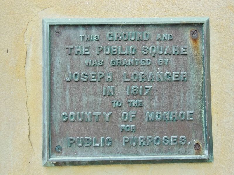
Joseph Loranger 1817
This ground and the Public Square was granted by Joseph Loranger in 1817 to the County of Monroe for public purposes
Topics. This historical marker is listed in these topic lists: Charity & Public Work • Notable Places. A significant historical year for this entry is 1817.
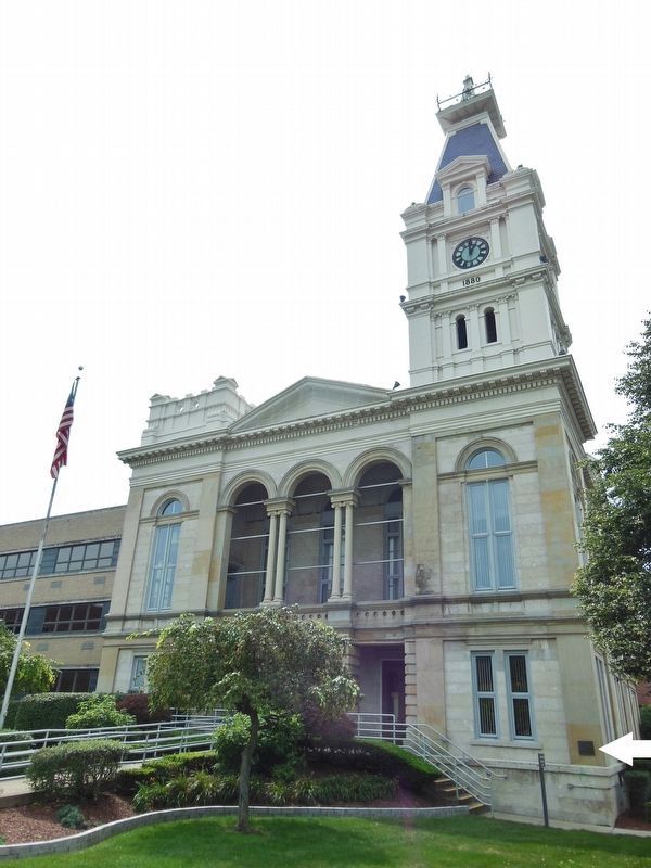
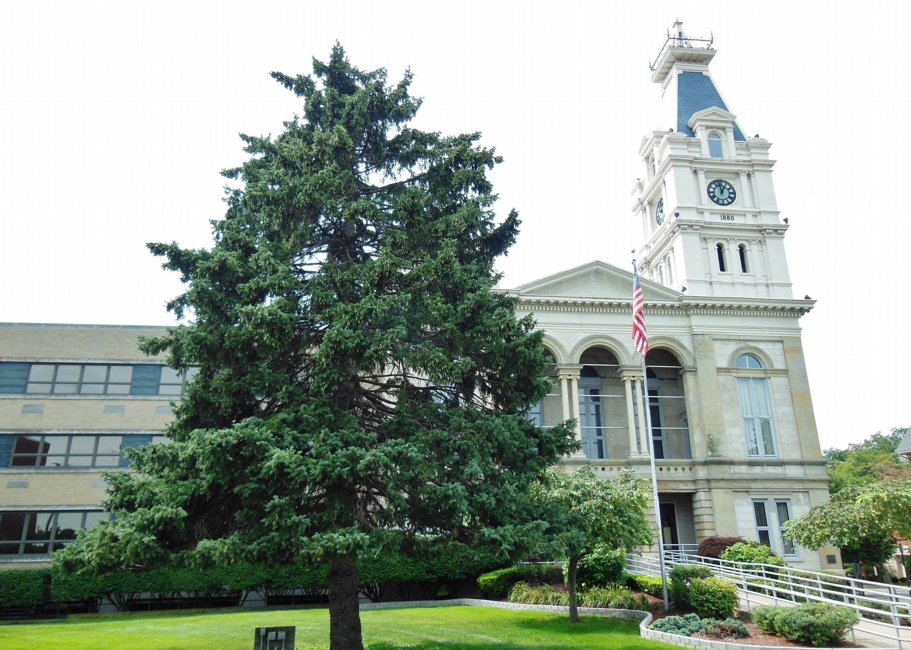
Location. 41° 54.884′ N, 83° 23.823′ W. Marker is in Monroe, Michigan, in Monroe County. Marker is at the intersection of East 1st Street and Washington Street, on the right when traveling east on East 1st Street. Marker is a large metal plaque, mounted at eye-level, directly on the Monroe County Courthouse building, near the northwest corner, facing East 1st Street. Touch for map. Marker is at or near this postal address: 106 East 1st Street, Monroe MI 48161, United States of America. Touch for directions.
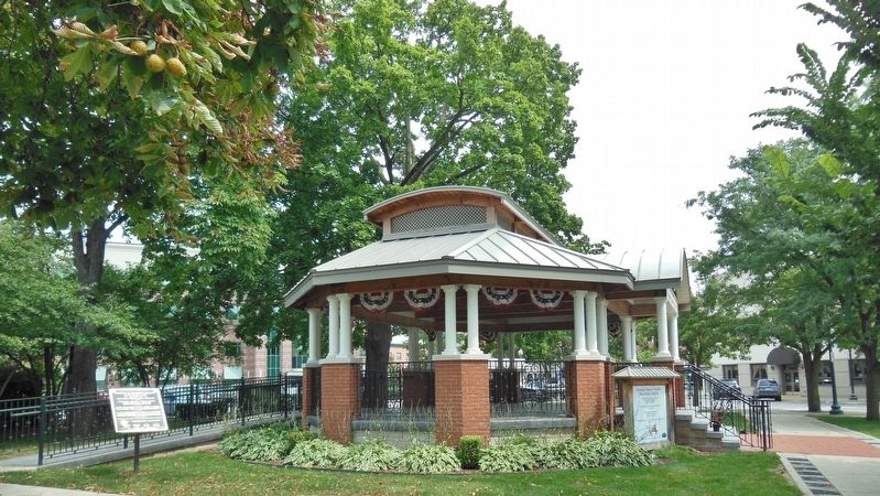
Other nearby markers. At least 8 other markers are within walking distance of this marker. The County of Monroe (here, next to this marker); Veterans Memorial (within shouting distance of this marker); Relic of the Battle of the Raisin (within shouting distance of this marker); Monroe County Since 1817 (within shouting distance of this marker); First Presbyterian Church (within shouting distance of this marker); City of Monroe (within shouting distance of this marker); Old Whipping Post (within shouting distance of this marker); Doctor Eduard Dorsch (within shouting distance of this marker). Touch for a list and map of all markers in Monroe.
Also see . . .
1. Old Village Historic District, Monroe, Michigan. The area is commonly referred to as the downtown area and is the oldest settled area in Monroe, dating back to 1817 when the area was first platted. The first roads were drawn out on a piece of land given by local landowner Joseph Loranger for the establishment of the village for the newly organized Monroe County. The current county courthouse was built in 1880, although the plot of land it is located on has housed the seat of the county government since 1817. (Submitted on January 1, 2019, by Cosmos Mariner of Cape Canaveral, Florida.)
2. The Old Village Plat. In 1817, Joseph Loranger offered a portion of his farm south of the River Raisin, as a location for the village. At the same time, Territorial Governor Lewis Cass created the district of Monroe County, named in honor of an expected visit from President James Monroe. Loranger’s offer of deeded public lands, streets and alleys was officially established in the incorporated village of Monroe. The Old Village Plat was then laid out by Henry Disbrow who adapted the conventional
gridiron approach to platting, with a public square one block east of the main street. In this square, the original courthouse was built on the site of the present Presbyterian Church. (Submitted on January 1, 2019, by Cosmos Mariner of Cape Canaveral, Florida.)
Credits. This page was last revised on September 25, 2022. It was originally submitted on December 31, 2018, by Cosmos Mariner of Cape Canaveral, Florida. This page has been viewed 304 times since then and 36 times this year. Photos: 1, 2, 3, 4, 5. submitted on January 1, 2019, by Cosmos Mariner of Cape Canaveral, Florida. • Andrew Ruppenstein was the editor who published this page.
