Clarkston in Asotin County, Washington — The American West (Northwest)
Lewis and Clark Enter Washington
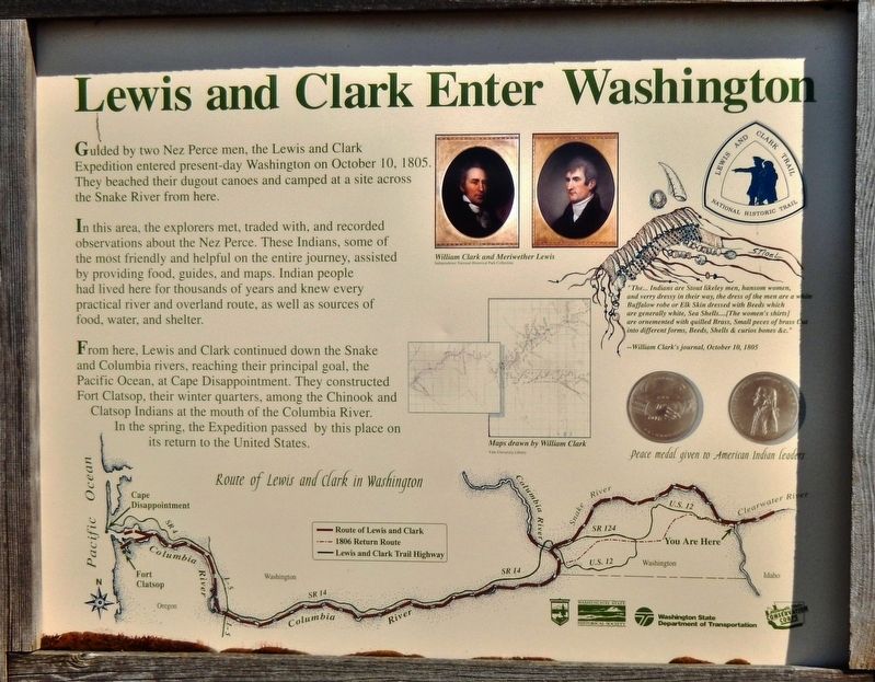
In this area, the explorers met, traded with, and recorded observations about the Nez Perce. These Indians, some of the most friendly and helpful on the entire journey, assisted by providing food, guides, and maps. Indian people had lived here for thousands of years and knew every practical river and overland route, as well as sources of food, water, and shelter.
From here, Lewis and Clark continued down the Snake and Columbia rivers, reaching their principal goal, the Pacific Ocean, at Cape Disappointment. They constructed Fort Clatsop, their winter quarters, among the Chinook and Clatsop Indians at the mouth of the Columbia River. In the spring, the Expedition passed by this place on its return to the United States.
”The… Indians are Stout likeley men, handsom women, and verry dressey in their way, the dress of the men are a white Buffalow robe or Elk Skin dressed with Beeds which are generally white, Sea Shells… [The women’s shirts] are ornemented with quilled Brass, Small peces of Brass Cut into different forms, Beeds, Shells & curios bones &c.”
-- William Clark’s journal, October 10, 1805
Erected by Washington State Parks, Washington State Historical Society, and Washington State Department of Transportation. (Marker Number 36.)
Topics and series. This historical marker is listed in these topic lists: Exploration • Native Americans. In addition, it is included in the Lewis & Clark Expedition series list. A significant historical date for this entry is October 10, 1805.
Location. 46° 25.048′ N, 117° 4.967′ W. Marker is in Clarkston, Washington, in Asotin County. Marker is on Inland Empire Highway / Bridge Street (U.S. 12) ¼ mile east of Elm Street, on the right when traveling east. Marker is located in a pull-out on the south side of the highway. Touch for map. Marker is at or near this postal address: 1676 Elm Street, Clarkston WA 99403, United States of America. Touch for directions.
Other nearby markers. At least 8 other markers are within 3 miles of this marker, measured as the crow flies. Lewis and Clark (approx. 1.7 miles away); Granite Lake Park (approx. 1.7 miles away); Lewis & Clark Almost Slept Here (approx. 1.7 miles away); Nimiipuu Homelands (approx. 2.1 miles away); A Man and His Island Dream (approx. 2.4 miles away in Idaho); A Confluence of Rivers & Steam (approx. 2.4 miles away in Idaho); a different marker also named Lewis and Clark (approx. 2.4 miles away in Idaho); Writings on the River (approx. 2.4 miles away in Idaho). Touch for a list and map of all markers in Clarkston.
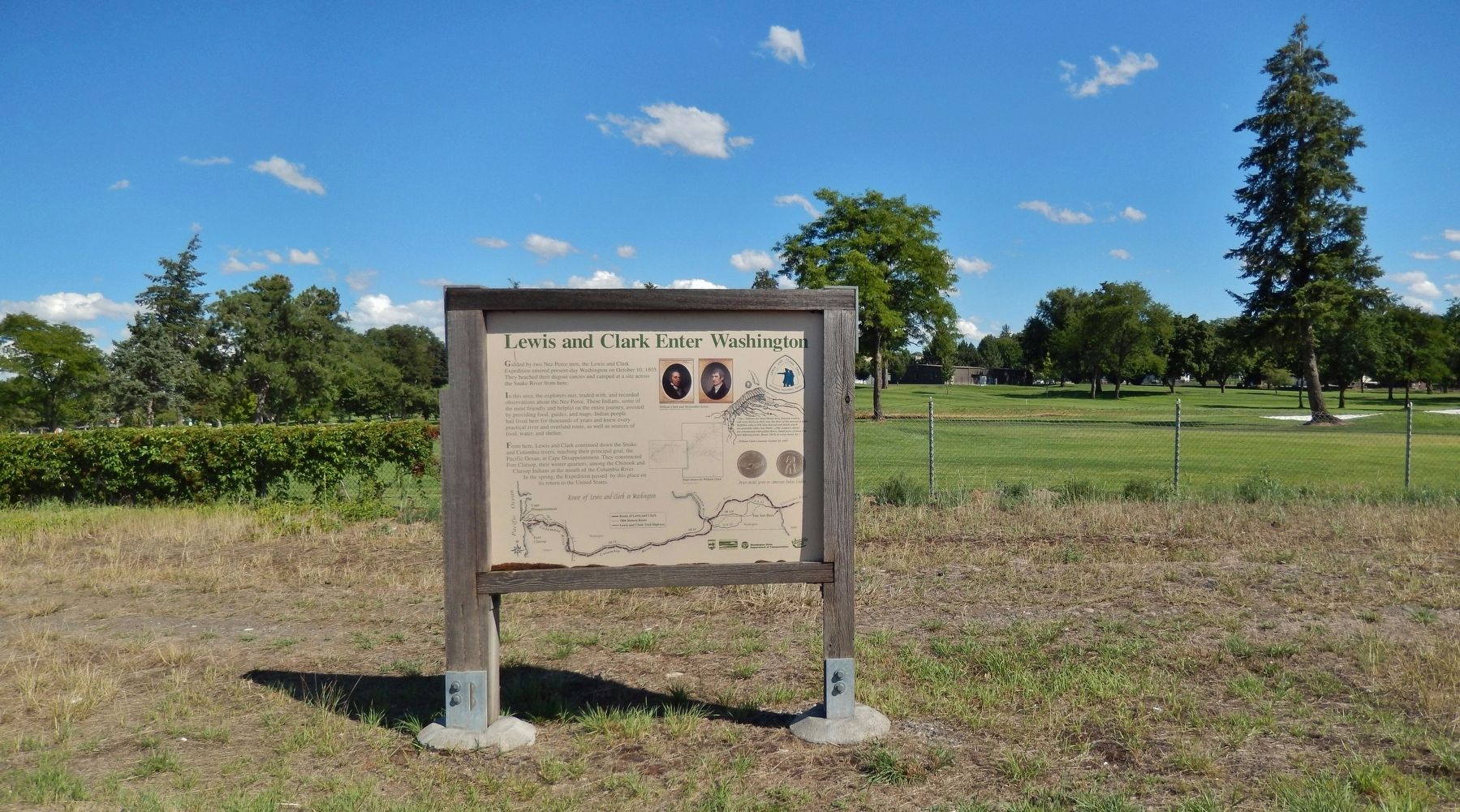
More about this marker. This is a large, painted metal "billboard-style" marker, mounted vertically in a six-foot tall, heavy-duty wooden frame.
Also see . . .
1. Nez Perce Tribe. The Nez Perce were not frightened of the white men and treated them to a filling meal of buffalo, dried salmon, and camas bread. The Indians told Clark about the route ahead. Among those offering guidance was Twisted Hair, a chief that Clark described as “a Cheerful man with apparant siencerity.” The Corps remained among the Nez Perce for several days preparing for the rest of their journey. Twisted Hair and two of his sons helped Clark find good timber for making canoes, and the captains traded goods for horses, which they temporarily left in the Indians care. On the Corps’ return journey in May 1806, they returned to the lodges of the Nez Perce to reclaim their horses and prepare to cross the mountains. (Submitted on January 24, 2019, by Cosmos Mariner of Cape Canaveral, Florida.)
2. Journals of the Lewis & Clark Expedition: October 10, 1805. (Submitted on January 24, 2019, by Cosmos Mariner of Cape Canaveral, Florida.)
Credits. This page was last revised on July 14, 2022. It was originally submitted on January 24, 2019, by Cosmos Mariner of Cape Canaveral, Florida. This page has been viewed 308 times since then and 32 times this year. Photos: 1, 2. submitted on January 24, 2019, by Cosmos Mariner of Cape Canaveral, Florida. • Andrew Ruppenstein was the editor who published this page.

