Nanjemoy in Charles County, Maryland — The American Northeast (Mid-Atlantic)
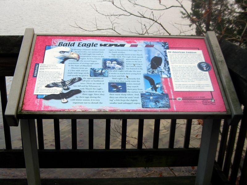
Bald Eagle
Following a dramatic decline caused by pesticides, our national bird, the bald eagle, has made a tremendous return in the region. In fact, Charles County has the second largest population of nesting eagle pairs in the State of Maryland.
Massive nests are 4—5 feet wide and made of large sticks and usually located in the upper portions of tall pine or hardwood trees. Nest are made in late fall and by February or early March the eagles lay a clutch of one to three eggs. Since they lay their eggs during the cold winter season, it very important not to disturb the eagles as they protect their eggs from the harsh weather.
Eggs typically hatch in late March to early April. The eagle chick spends approximately 12 weeks in the nest before learning to fly. Once a chick has learned to fly, the adult eagles will take the next 6 weeks to teach their young how to hunt and fish.
Bald eagles are primarily fish eaters, but they rarely enter the water, instead they snatch their prey from the surface with their razor sharp talons. And, they can often be seen "stealing" a fish from the slightly smaller (and unhappy) osprey.
Features
Height: up to 3 feet tall
Wingspan: 6 to 7-1/2 feet
Voice: Squeaking cackling with thin squeals.
Color: All-over dark plumage is characteristic in the first year eagle. In the second and third years, a molted plumage and a white belly are evident. At four years, the eagle begins to molt into the first adult plumage. In the first three stages, there is a white line on the underwing that is not present in the adult eagle. It take four years before the bald eagle reaches maturity and displays their signature white head and tail.
(Image of the Great Seal of the United States.)
An American Emblem
On June 20, 1782 the bald eagle was selected as the emblem for the United States of America. Folklore tells us that the bald eagle was chosen because at one of the first early morning battles of the Revolution the eagles awake and flew from their nests. During the course of the battle they circled overhead screeching while the patriots fought on.
The Great Seal of the United States shows a wide-spread eagle, faced front, having on his breast a shield with thirteen perpendicular red and white stripes, surmounted by a blue field with the same number of stars. In his right talon the eagle hold an olive branch, in his left a bundle of thirteen arrows, and in his beach he carries a scroll inscribed with the Latin motto: "E Pluribus Unum." Translated to English, "Out of many, one," is a reference to the original thirteen colonies united into one nation.
The eagle appears on the seals of many of States, on most of our gold and silver coinage, ans is used in a great deal for decorative patriotic purposes.
(Logos for Friendship Farm Park and Southern Maryland Heritage Area Consortium.)
Charles County Office of Tourism www.ExploreCharlesCoMd.com
For more information the Charles County Office of Tourism at 800 766-3388 or 800 SO MD Fun. Funding provided by the National Park Service.
Bald eagle photos courtesy of U.S. Fish & Wildlife Service.
Erected by Charles County Office of Tourism, Southern Maryland Heritage Area Consortium, and the National Park Service.
Topics. This historical marker is listed in these topic lists: Environment • Patriots & Patriotism. A significant historical date for this entry is June 20, 1782.
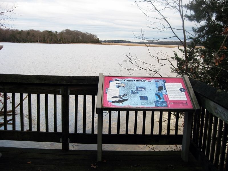
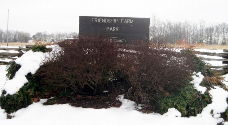
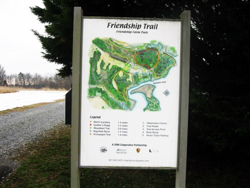
Location. 38° 27.45′ N, 77° 8.683′ W. Marker is in Nanjemoy, Maryland, in Charles County. Marker can be reached from Friendship Landing Road, 1.3 miles Ironsides Rd (County Route 425). Follow Friendship Landing Road for 1.3 miles. After entering Friendship Farm Park, go to the Dent's Landing Trailhead. Follow the trail down and along the Nanjemoy Creek for half a mile. The marker is at an overlook for Nanjemoy Creek. Touch for map. Marker is at or near this postal address: 4705 Friendship Landing Road, Nanjemoy MD 20662, United States of America. Touch for directions.
Other nearby markers. At least 8 other markers are within 6 miles of this marker, measured
as the crow flies. Friendship House...one of Charles County's Oldest (approx. 0.4 miles away); Durham Parish (approx. 2.4 miles away); "Efton Hills" (approx. 3.3 miles away); Nanjemoy Baptist Church (approx. 3˝ miles away); Washington's Farm (approx. 3.9 miles away); "Brentland" (approx. 4.7 miles away); General Daniel E. Sickles, U.S.A. (approx. 5 miles away); Memories of Douglas Point (approx. 6 miles away). Touch for a list and map of all markers in Nanjemoy.
Credits. This page was last revised on July 14, 2022. It was originally submitted on January 28, 2019. This page has been viewed 189 times since then and 13 times this year. Photos: 1, 2, 3, 4. submitted on January 28, 2019. • Bill Pfingsten was the editor who published this page.


