Tampa in Hillsborough County, Florida — The American South (South Atlantic)
Picnic Island
Inscription.
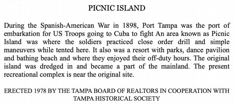
During the Spanish-American War in 1898, Port Tampa was the port of embarkation for U.S. Troops going to Cuba to fight An area known as Picnic Island was where the soldiers practiced close order drill and simple maneuvers while tented here. It also was a resort with parks, dance pavilion and bathing beach and where they enjoyed their off-duty hours. The original island was dredged in and became a part of the mainland. The present recreational complex is near the original site.
Erected 1978 by The Tampa Board of Realtors in cooperation with Tampa Historical Society.
Topics. This historical marker is listed in these topic lists: Parks & Recreational Areas • War, Spanish-American. A significant historical year for this entry is 1898.
Location. Marker has been reported missing. It was located near 27° 51.488′ N, 82° 33.002′ W. Marker was in Tampa, Florida, in Hillsborough County. Marker was on Picnic Island Boulevard, 0.4 miles west of Port Tampa Drive, in the median. Marker was located at the entrance to the park. Touch for map. Marker was at or near this postal address: 7409 Picnic Island Boulevard, Tampa FL 33616, United States of America. Touch for directions.
Other nearby markers. At least 8 other markers are within 5 miles of this location, measured as the crow flies. The Rough Riders Embark the S.S. Yucatan (approx. ¼ mile away); Liberty Tree Memorial (approx. 1½ miles away); Tampa as Port of Embarkation for Spanish American War (approx. 1½ miles away); Palonis Park (approx. 2½ miles away); Port Tampa Cemetery (approx. 2.7 miles away); Battlefield (approx. 4.6 miles away); The Bayshore Boulevard of Dreams (approx. 4.6 miles away); Bayflite 3 Crew (approx. 4.7 miles away). Touch for a list and map of all markers in Tampa.
Credits. This page was last revised on February 28, 2019. It was originally submitted on February 27, 2019, by Tim Fillmon of Webster, Florida. This page has been viewed 565 times since then and 61 times this year. Photo 1. submitted on February 27, 2019, by Tim Fillmon of Webster, Florida. • Andrew Ruppenstein was the editor who published this page.
