Butterfly Peak Natural Area near Tucson in Pima County, Arizona — The American Mountains (Southwest)
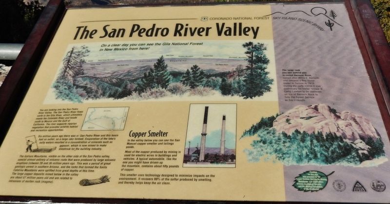
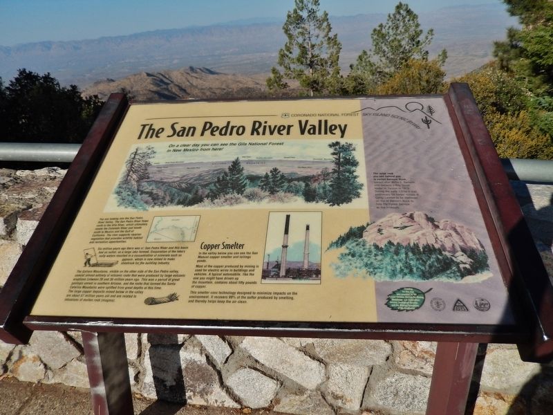
The San Pedro River Valley
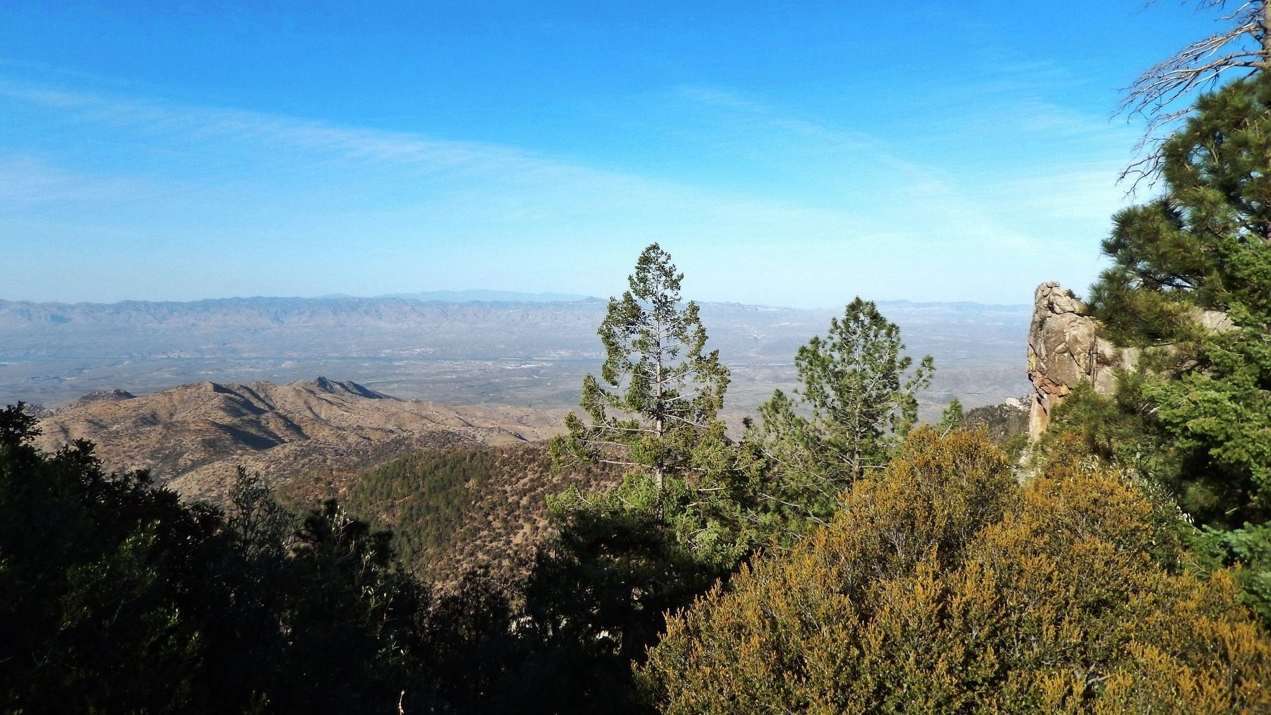
On a clear day you can see the Gila National Forest in New Mexico from here!
Six million years ago there was no San Pedro River and this basin had no outlet, so a large lake formed. Evaporation of the lake’s salty waters resulted in a concentration of minerals such as gypsum, which is now mined to make sheetrock for the building industry.
The Galiuro Mountains, visible on the other side of the San Pedro valley, consist almost entirely of volcanic rocks that were produced by large volcanic eruptions between 20 and 30 million years ago. This was a period of great geologic unrest in southern Arizona, and the rocks that formed the Santa Catalina Mountains were uplifted from great depths at this time. The large copper deposits mined below in the valley are about 67 million years old and are related to intrusions of molten rock (magma).
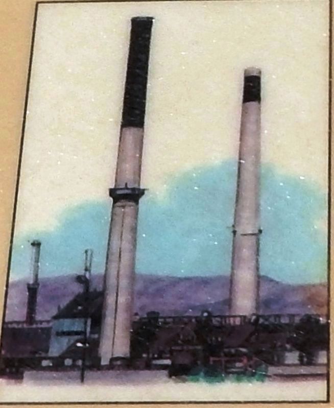
Copper Smelter
In the valley below you can see the San Manuel copper smelter and tailings ponds.
Most of the copper produced by mining is used for electric wires in buildings and vehicles. A typical automobile, like the one you might have driven up the mountain, contains about fifty pounds of copper.
This smelter uses technology designed to minimize impacts on the environment. It recovers 99% of the sulfur produced by smelting, and thereby helps keep the air clean.
The large rock you see behind you is called Barnum Rock, named after Willis E. Barnum, who became a Boy Scout leader in Tucson in 1916. During the early 1920s it was customary for honor scouts at Camp Lawton to be stationed on top of Barnum Rock to help the Forest Service as fire lookouts.
Topics. This historical marker is listed in these topic lists: Fraternal or Sororal Organizations • Industry & Commerce • Waterways & Vessels. A significant historical year for this entry is 1916.
Location. 32° 24.021′ N, 110° 41.386′ W. Marker is near Tucson, Arizona, in Pima County. It is in the Butterfly Peak Natural Area. Marker is on Mt. Lemmon Highway (at milepost 17.4), 18 miles north of East Snyder Road, on the right when traveling north. Marker is located in a pull-out on the east side of the highway, at the San Pedro Vista Point. Touch for map. Marker is at or near this postal address: 10610 General Hitchcock Hwy, Tucson AZ 85750, United States of America. Touch for directions.
Other nearby markers. At least 8 other markers are within 13 miles of this marker, measured as the crow flies. Honorable Frank Harris Hitchcock (approx. 2.7 miles away); Catalina Federal Honor Camp (approx. 4˝ miles away); Lemmon Rock Lookout Tower (approx. 6.3 miles away); Agua Caliente Ranch and Hot Springs (approx. 8.6 miles away); Officer Erik Hite (approx. 11˝ miles away); La Casa Del High Jinks (approx. 12.2 miles away); American Flag (approx. 12.6 miles away); DeGrazia Gallery In the Sun (approx. 13 miles away). Touch for a list and map of all markers in Tucson.
Also see . . . San Manuel Copper Mine (Wikipedia). The San Manuel Copper Mine was a surface and underground porphyry copper mine located in San Manuel, Pinal County, Arizona. Frank Schultz was the original discoverer, in 1879, but the main body of the deposits were discovered by Henry W. Nichols in 1942. The exploration drilling went on from 1943 to 1948, with the first mine shaft built 1948. The first major production began in 1955. (Submitted on March 19, 2019, by Cosmos Mariner of Cape Canaveral, Florida.)
Credits. This page was last revised on December 2, 2023. It was originally submitted on March 19, 2019, by Cosmos Mariner of Cape Canaveral, Florida. This page has been viewed 432 times since then and 55 times this year. Photos: 1, 2, 3, 4. submitted on March 19, 2019, by Cosmos Mariner of Cape Canaveral, Florida.


