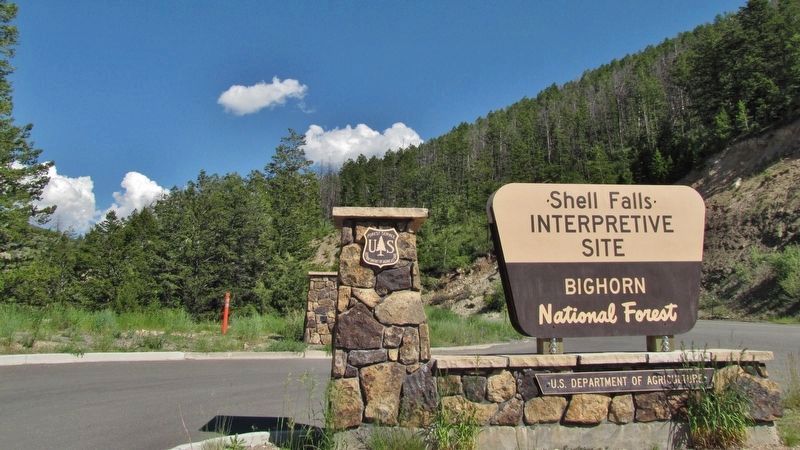
Near Shell in Big Horn County, Wyoming — The American West (Mountains)
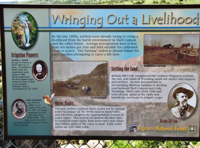
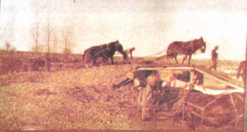
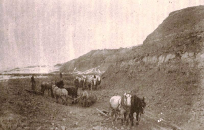
Wringing Out a Livelihood
Settling the Land
Buffalo Bill Cody recognized that without irrigation systems the vast arid lands of Wyoming could not attract and support new settlers. He was instrumental in encouraging Mormon families to develop land between Shell Canyon and Cody, Wyoming. Most came from Utah and were already adept in the skills and knowledge necessary to irrigate crops.
Water Rights
The new settlers realized there would not be enough water to irrigate all the fertile land in Shell Valley, and therefore adopted the Appropriation System of water rights. The system recognizes the first ones to establish water rights hold preference over those that follow, until all the water is used. Early water rights are still valid today.
Irrigation Pioneers
Jordan L. Smith brought his family to Shell Valley by ox team. He settled on Shell Creek and established water rights in 1886. Smith constructed the first irrigation ditch where the town of Shell is now located.
(Wasden David J., From Beaver to Oil, 1973)
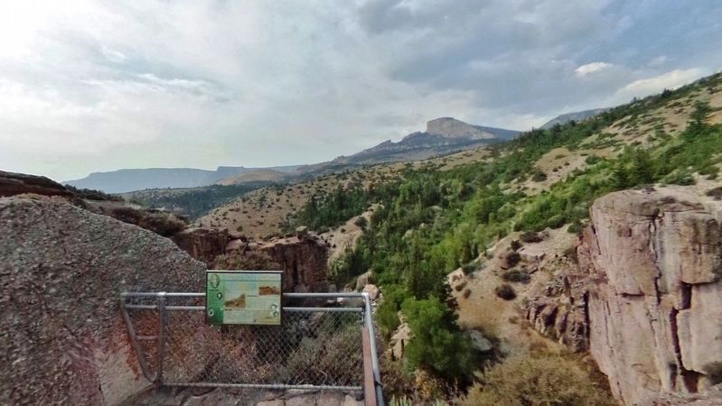
John Copman was the first settler to run cattle in this area. In 1887, he began irrigating his land with water from Shell Creek. The large rock in front of you was named Copman's Tomb in his memory.
Erected by Bighorn National Forest, National Forest Service, U.S. Department of Agriculture.
Topics. This historical marker is listed in these topic lists: Agriculture • Settlements & Settlers. A significant historical year for this entry is 1886.
Location. 44° 35.247′ N, 107° 36.834′ W. Marker is near Shell, Wyoming, in Big Horn County. Marker can be reached from U.S. 14, on the left when traveling east. Marker is located along the falls overlook trail at the Shell Falls Interpretive Site in Bighorn National Forest. Shell Falls is about 11 miles east of Shell, Wyoming on U.S. Highway 14. Touch for map. Marker is in this post office area: Shell WY 82441, United States of America. Touch for directions.
Other nearby markers. At least 8 other markers are within walking distance of this marker. Shaping a Canyon (about 300 feet away, measured in a direct line); Forming Waterfalls (about 300 feet away); A 4,000 Mile Journey (about 400 feet away); Oasis in the Desert (about 400 feet away); Lifeblood of the West (about 400 feet away); Hummingbirds (about 400 feet away); Carving a Course (about 400 feet away); Moving Mountains (about 400 feet away). Touch for a list and map of all markers in Shell.
Also see . . .
1. Big Horn County, Wyoming. Cattlemen moved into the area starting in the 1870s. Settlers also began filtering into the basin in the 1870s, including, as time went on, men with their wives and children. Many of the earliest settlers ran sheep as well as cattle, and an inevitable clash arose between those who regarded the open range as their property and those who wanted to fence and farm the land. In 1895, when Mormon settlers arrived from Utah by the hundreds and began digging canals to irrigate their crops, the era of the small farmer had clearly begun. (Submitted on March 27, 2019, by Cosmos Mariner of Cape Canaveral, Florida.)
2. Shell Falls Interpretive Site. (Submitted on March 27, 2019, by Cosmos Mariner of Cape Canaveral, Florida.)
Credits. This page was last revised on March 27, 2019. It was originally submitted on March 26, 2019, by Cosmos Mariner of Cape Canaveral, Florida. This page has been viewed 241 times since then and 32 times this year. Photos: 1, 2, 3, 4, 5. submitted on March 27, 2019, by Cosmos Mariner of Cape Canaveral, Florida.
