Benton Park in St. Louis, Missouri — The American Midwest (Upper Plains)
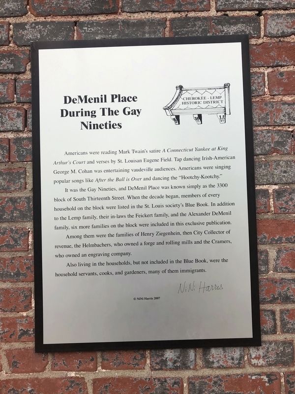
DeMenil Place During The Gay Nineties
Cherokee-Lemp Historic District

Photographed By Devry Becker Jones (CC0), April 23, 2019
1. DeMenil Place During The Gay Nineties Marker
Americans were reading Mark Twain's satire A Connecticut Yankee at King Arthur's Court and verses by St. Louisan Eugene Field. Tap dancing Irish-American George M. Cohan was entertaining vaudeville audiences. Americans were singing popular songs like After the Ball is Over and dancing the "Hootchy-Kootchy."
It was the Gay Nineties, and DeMenil Place was known simply as the 3300 block of South Thirteenth Street. When the decade began, members of every household on the block were listed in the St. Louis society's Blue Book. In addition to the Lemp family, their in-laws the Feickert family, and the Alexander DeMenil family, six more families on block were included in this exclusive publication.
Among them were the families of Henry Ziegenhein, then City Collector of revenue, the Helmbachers, who owned a forge and rolling mills and the Cramers, who owned an engraving company.
Also living in the households, but not included in the Blue Book, were the household servants, cooks, and gardeners, many of them immigrants.
Erected 2007 by NiNi Harris.
Topics and series. This historical marker is listed in these topic lists: Arts, Letters, Music • Industry & Commerce • Notable Places • Roads & Vehicles. In addition, it is included in the Missouri, St. Louis, The Cherokee-Lemp History Walk series list.
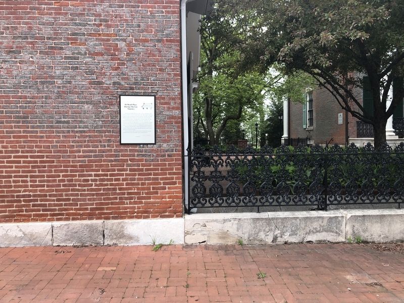
Location. 38° 35.55′ N, 90° 12.974′ W. Marker is in St. Louis, Missouri. It is in Benton Park. Marker is on DeMenil Place north of Cherokee Street, on the right when traveling north. Touch for map. Marker is at or near this postal address: 3352 DeMenil Place, Saint Louis MO 63118, United States of America. Touch for directions.
Other nearby markers. At least 8 other markers are within walking distance of this marker. DeMenil Mansion (a few steps from this marker); Origins (within shouting distance of this marker); Cherokee Cave (within shouting distance of this marker); The Lemp Brewery (within shouting distance of this marker); This cake commemorates (about 300 feet away, measured in a direct line); 3319 DeMenil Place (about 300 feet away); 3322 DeMenil Place (about 300 feet away); The Bungalow (about 300 feet away). Touch for a list and map of all markers in St. Louis.

Photographed By Devry Becker Jones (CC0), April 23, 2019
2. DeMenil Place During The Gay Nineties Marker
Credits. This page was last revised on January 30, 2023. It was originally submitted on April 29, 2019, by Devry Becker Jones of Washington, District of Columbia. This page has been viewed 250 times since then and 14 times this year. Photos: 1, 2. submitted on April 29, 2019, by Devry Becker Jones of Washington, District of Columbia.