Sag Harbor in Suffolk County, New York — The American Northeast (Mid-Atlantic)
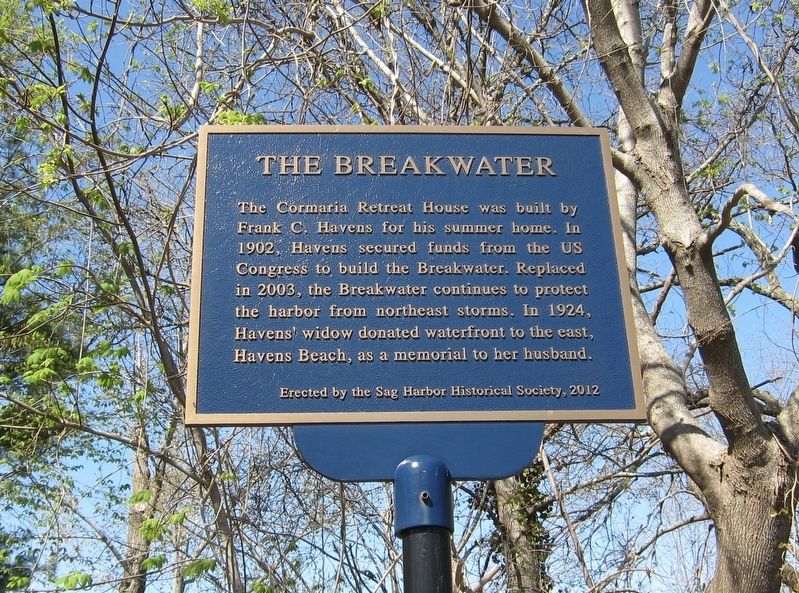
The Breakwater
Erected 2012 by Sag Harbor Historical Society.
Topics. This historical marker is listed in this topic list: Waterways & Vessels. A significant historical year for this entry is 1902.
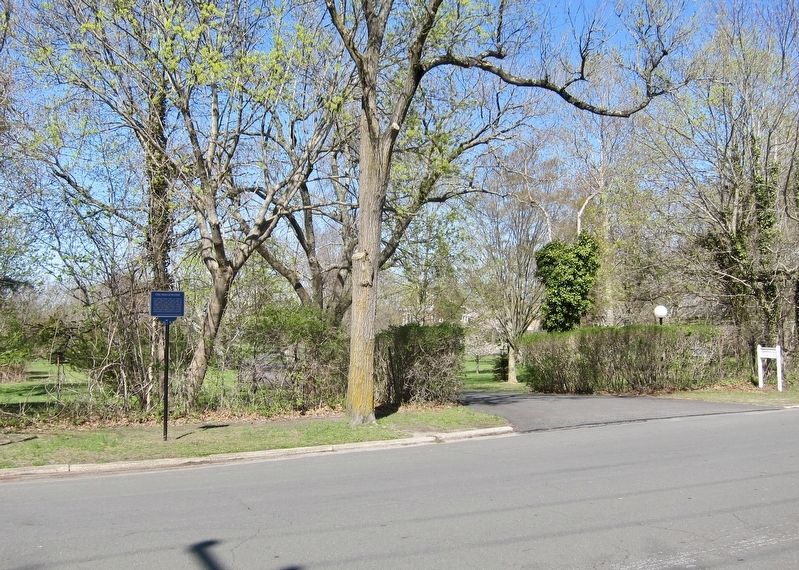
Location. 41° 0.036′ N, 72° 17.366′ W. Marker is in Sag Harbor, New York, in Suffolk County. Marker is on Bay Street east of Dering Road, on the right when traveling west. Touch for map. Marker is in this post office area: Sag Harbor NY 11963, United States of America. Touch for directions.
Other nearby markers. At least 8 other markers are within walking distance of this marker. The Fort at Sag Harbor (about 600 feet away, measured in a direct line); Sag Harbor World War II Memorial (approx. ¼ mile away); Sag Harbor Korean and Vietnam Wars Memorial (approx. ¼ mile away); East Water Street (approx. ¼ mile away); Atheneum (approx. 0.3 miles away); Alvin Building (approx. 0.3 miles away); American Revolution Veterans Memorial (approx. 0.3 miles away); Old Whalers' Church (approx. 0.3 miles away). Touch for a list and map of all markers in Sag Harbor.
Credits. This page was last revised on April 30, 2019. It was originally submitted on April 30, 2019, by Andrew Ruppenstein of Lamorinda, California. This page has been viewed 182 times since then and 24 times this year. Photos: 1, 2. submitted on April 30, 2019, by Andrew Ruppenstein of Lamorinda, California.

