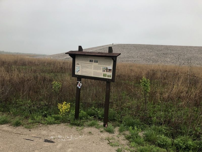
Near Weldon Spring in St. Charles County, Missouri — The American Midwest (Upper Plains)
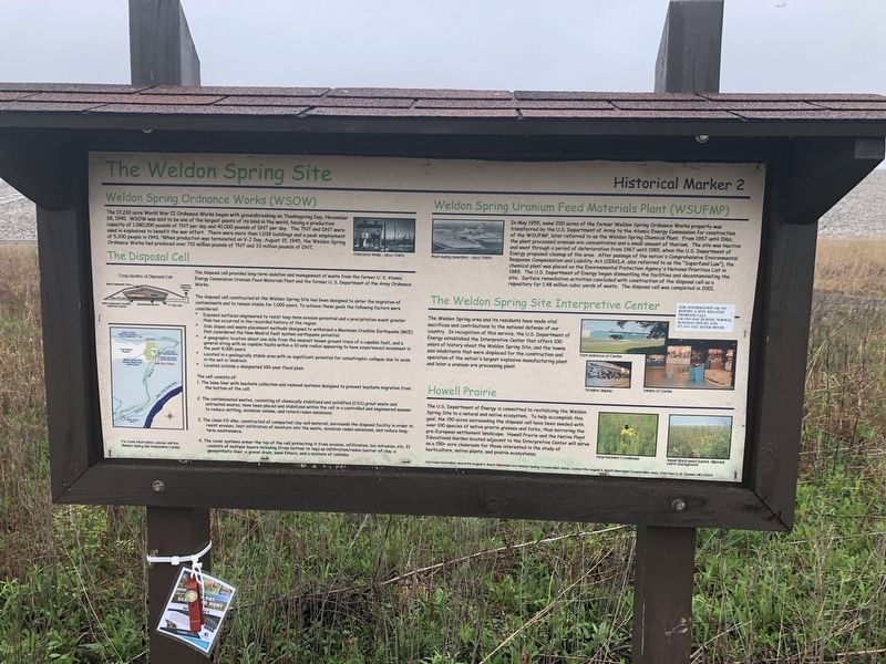
The Weldon Spring Site
Weldon Spring Ordnance Works (WSOW)
The 17,232-acre World War II Ordnance Works began with groundbreaking on Thanksgiving Day, November 28, 1940. WSOW was said to be one of the largest plants of its kind in the world, having a production capacity of 1,080,000 pounds of TNT per day and 40,000 pounds of DNT per day. The TNT and DNT were used in explosives to benefit the war effort. There were more than 1,038 buildings and a peak employment of 5,200 people in 1943. When production was terminated on V-J Day, August 15, 1945, the Weldon Spring Ordnance Works had produced over 710 million pounds of TNT and 33 million pounds of DNT.
Weldon Spring Uranium Feed Materials Plant (WSUFMP)
In May 1955, some 200 acres of the former Weldon Spring Ordnance Works property was transferred by the U.S. Department of the Army to the Atomic Energy Commission for construction of the WSUFMP, later referred to as the Weldon Spring Chemical Plant. From 1957 until 1966, the plant processed uranium are concentrates and a small amount of thorium. The site was inactive and went through a period of deterioration from 1967 until 1985, when the U.S. Department of Energy proposed cleanup of the area. After passages of the nation's Comprehensive Environmental chemical plant was placed on the Environmental Protection Agency's National Priorities List in 1989. The U.S. Department of Energy began dismantling the facilities and decontaminating the site. Surface remediation activities concluded with construction of the disposal cell as a repository for 1.48 million cubic yards of waste. The disposal cell was completed in 2001. (Marker Number 2.)
Topics. This historical marker is listed in these topic lists: Government & Politics • Military • Science & Medicine. A significant historical month for this entry is May 1955.
Location. 38° 41.785′ N, 90° 43.575′ W. Marker is near Weldon Spring, Missouri, in St. Charles County. Marker can be reached from State Highway 94 north of Soldiers Drive, on the right when traveling south. Touch for map. Marker is in this post office area: Saint Charles MO 63304, United States of America. Touch for directions.
Other nearby markers. At least 8 other markers are within 5 miles of this marker, measured as the crow flies. "TNT" (approx. 1˝ miles away); a different marker also named Weldon Spring Site (approx. 2.7 miles away); Weldon Spring to Greens Bottom (approx. 2.7 miles away); Weldon Spring to Matson (approx. 2.8 miles away); Historic Centaur (approx. 3.8 miles away); John L. LeCave Memorial Trailhead (approx. 3.9 miles away); Historic Monarch (approx. 4.4 miles away); Missouri River Greenway - Monarch-Chesterfield Levee Trail (approx. 4.9 miles away). Touch for a list and map of all markers in Weldon Spring.
Credits. This page was last revised on May 4, 2019. It was originally submitted on May 1, 2019, by Devry Becker Jones of Washington, District of Columbia. This page has been viewed 323 times since then and 39 times this year. Photos: 1, 2. submitted on May 1, 2019, by Devry Becker Jones of Washington, District of Columbia.

