Vicksburg National Military Park in Warren County, Mississippi — The American South (East South Central)
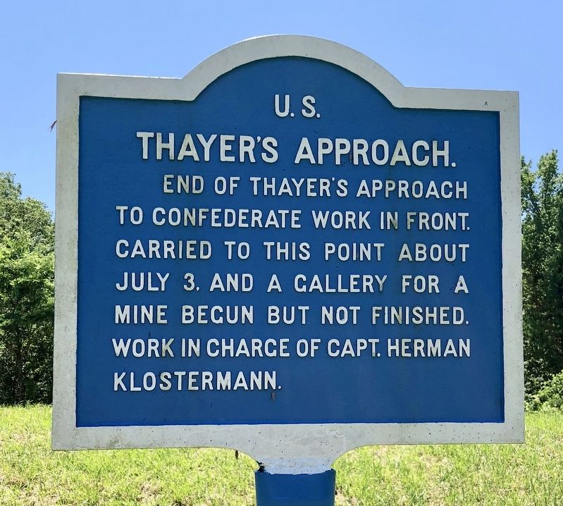
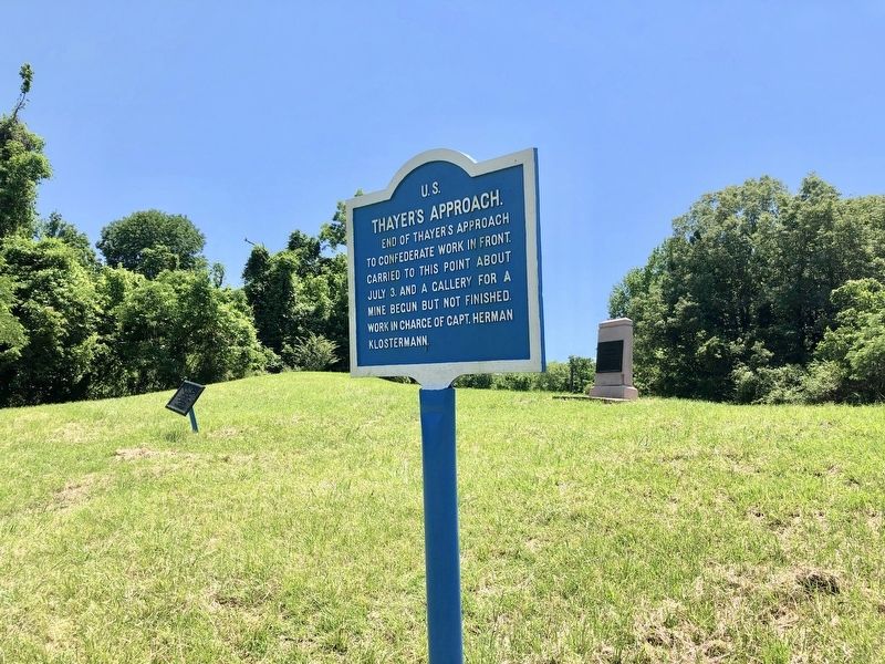
U.S. Thayer's Approach.
Erected by National Park Service, Department of the Interior.
Topics. This memorial is listed in this topic list: War, US Civil. A significant day of the year for for this entry is July 3.
Location. 32° 22.315′ N, 90° 51.041′ W. Marker is in Vicksburg National Military Park, Mississippi, in Warren County. Memorial is on Confederate Avenue, 0.4 miles west of Old Graveyard Road, on the right when traveling west. Touch for map. Marker is at or near this postal address: Confederate Avenue, Vicksburg MS 39183, United States of America. Touch for directions.
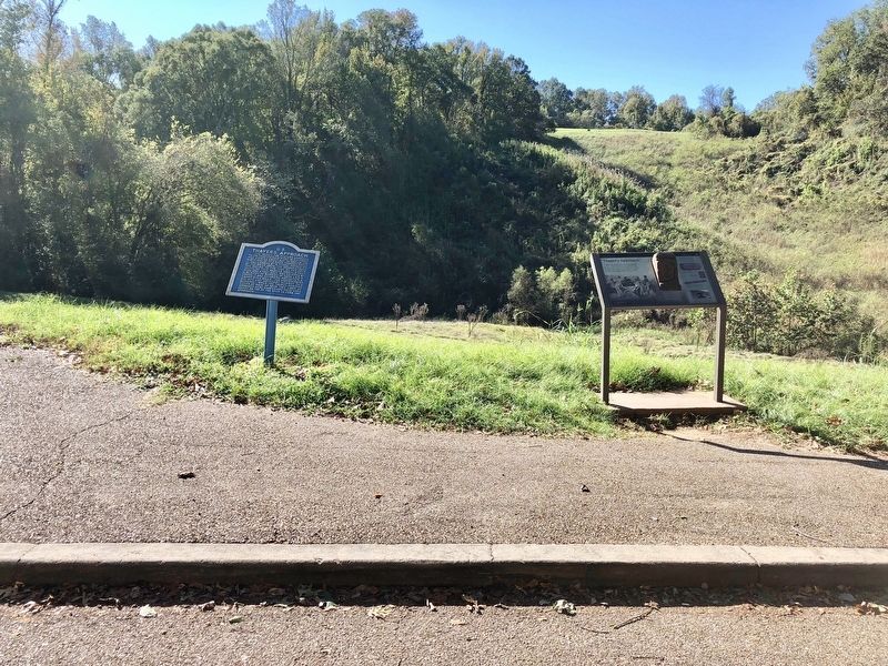
Other nearby markers. At least 8 other markers are within walking distance of this marker. William W. Martin (here, next to this marker); Watching the Approach (here, next to this marker); U S Missouri 12th Infantry (a few steps from this marker); Iowa 26th Infantry (a few steps from this marker); Small Work on Left of Shoup's Brigade (within shouting distance of this marker); C S Missouri Third Battery (about 400 feet away, measured in a direct line); Louisiana 26th Infantry (about 500 feet away); Capt. Louis Guion (about 500 feet away). Touch for a list and map of all markers in Vicksburg National Military Park.
Regarding U.S. Thayer's Approach.. The Union soldiers along this section of the line were commanded by Brigadier General John M. Thayer, and had taken part in the unsuccessful assaults on 19 May and 22 May. During those attacks, Thayer's men advanced up the hill only to be driven back by Confederates positioned at the top. After the second repulse, the Federals began digging a six-foot-deep approach trench.
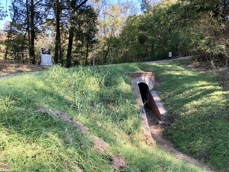
To prevent Thayer's men from exposure to Confederate fire, a short tunnel was excavated through the ridgeline protecting the Union forces. Once the Federals broke through the ridge, under cover of darkness, they were able to begin digging the approach trench toward the Southern position.
Once close enough to the Confederate works atop the hill, the intent was to start a mine under the defensive position, similar to the one being dug under the Third Louisiana Redan. The men digging the approach trench were protected from Confederate fire by bundles of cane called fascines, which served as a roof over the trench. Thayer's soldiers had nearly completed the mine when Vicksburg surrendered.
Additional keywords. U.S. Thayer's Approach.
Credits. This page was last revised on January 6, 2020. It was originally submitted on May 20, 2019, by Mark Hilton of Montgomery, Alabama. This page has been viewed 227 times since then and 14 times this year. Photos: 1, 2, 3, 4, 5. submitted on May 20, 2019, by Mark Hilton of Montgomery, Alabama.


