Washington Township near Blue Ridge Summit in Franklin County, Pennsylvania — The American Northeast (Mid-Atlantic)
The Battle of Monterey Pass
The Wolverines Fight
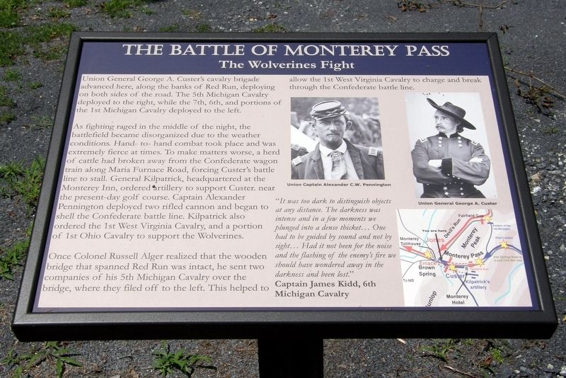
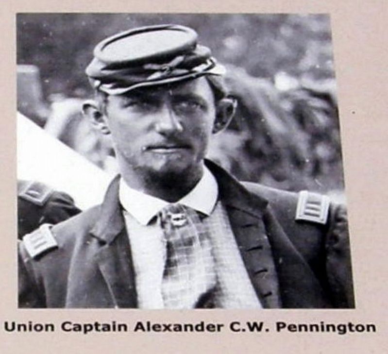
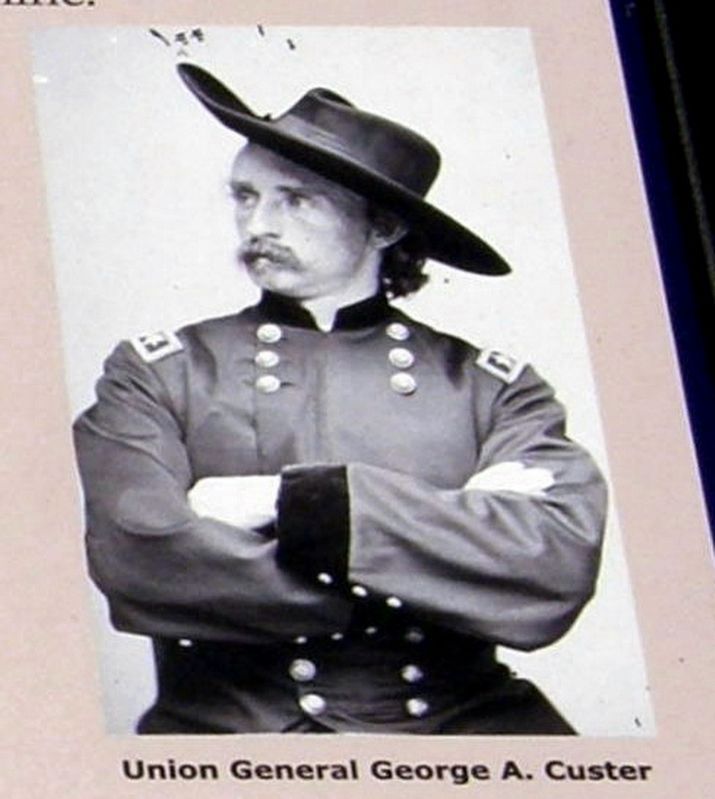
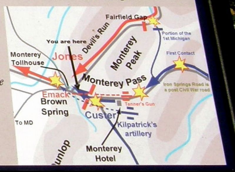
As fighting raged in the middle of the night, the battlefield became disorganized due to the weather conditions. Hand-to-hand combat took place and was extremely fierce at times. To make matters worse, a herd of cattle had broken away from the Confederate wagon train along the Maria Furnace Road, forcing Custer’s battle line to stall. General Kilpatrick, headquartered at the Monterey Inn, ordered artillery to support Custer near the present-day golf course. Captain Alexander Pennington deployed two rifled cannon and began to shell the Confederate battle line. Kilpatrick also ordered the 1st West Virginia Cavalry, and a portion of the 1st Ohio Cavalry to support the Wolverines.
Once Colonel Russell Alger realized that the wooden bridge than spanned Red Run was intact, he sent two companies of the 5th Michigan Cavalry over the bridge, where they filed off to the left. This allowed the 1st West Virginia Cavalry to charge and break through the confederate battle line.
“It was too dark to distinguish objects at any distance. The darkness was intense and in a few moments we plunged into a dense thicket… One had to be guided by sound and not by sight… had it not been for the noise and the flashing of the enemy’s fire we should have wondered (sic) away in the darkness and been lost.”
Captain James Kidd, 6th Michigan Cavalry
Topics. This historical marker is listed in this topic list: War, US Civil. A significant historical date for this entry is July 4, 1863.
Location. Marker has been reported missing. It was located near 39° 44.308′ N, 77° 28.711′ W. Marker was near Blue Ridge Summit, Pennsylvania, in Franklin County. It was in Washington Township. Marker was on Charmian Road, 0.1 miles Buchanan Trail East (Pennsylvania Route 16), on the right when traveling west. Touch for map. Marker was at or near this postal address: 14306 Charmian Rd, Waynesboro PA 17268, United States of America. Touch for directions.
Other nearby markers. At least 8 other markers are within walking distance of this location. A different marker also named The Battle of Monterey Pass (here, next to this marker); 10,000 Soldiers Fight at Monterey Pass (a few steps from this marker); a different marker also named The Battle of Monterey Pass (a few steps from this marker); The Retreat From Gettysburg (within shouting distance of this marker); a different marker also named The Battle of Monterey Pass (within shouting distance of this marker);
Brown's Spring (within shouting distance of this marker); a different marker also named The Battle of Monterey Pass (within shouting distance of this marker); Before The Battle Of Gettysburg (about 300 feet away, measured in a direct line). Touch for a list and map of all markers in Blue Ridge Summit.
Credits. This page was last revised on February 7, 2023. It was originally submitted on May 17, 2017, by Larry Gertner of New York, New York. This page has been viewed 317 times since then and 10 times this year. Last updated on May 22, 2019, by Larry Gertner of New York, New York. Photos: 1, 2, 3, 4, 5. submitted on May 17, 2017, by Larry Gertner of New York, New York. • Bernard Fisher was the editor who published this page.
